Albania Map: Decide Regions, Towns and Routes
Plan with an Albania map by region: the Albanian Alps and Lake Komani in the north, Tirana in the centre, and Berat, Gjirokastër and the Riviera in the south.
On this page
Read an Albania map in three bands and the trip plans itself: the northern mountains and lakes, the central corridor around Tirana, and the southern Ottoman towns and Riviera. The country is a north–south spine roughly 210 miles (340 km) long and 95 miles (150 km) wide, with mountain and coastal branch lines hanging off it. This guide groups the main towns and sights by those bands and explains which combinations sit on one road and which are detours.
The shape matters because so many journeys run lengthways. Private car ownership was banned under communism, so driving is a relatively new pastime here, and independent travel takes some planning. Grouping places by region first, then checking the road or ferry between them, saves you from zigzagging.
Where Albania sits on the map
Albania is bounded by Montenegro to the north-west, Kosovo to the north-east, North Macedonia to the east, and Greece to the south-east and south, with the Adriatic and Ionian seas along its western and south-western edge. Italy lies about 50 miles (80 km) across the Adriatic, which is why ferry ports on the coast matter to arrivals from the west.
The longest river is the Drin, about 175 miles long, rising in Kosovo. The Seman, Shkumbin and Vjosë drain the central western plains. Lake Shkodra (Lake Skadar) sits in the north-west, while Lakes Ohrid and Prespa lie along the eastern border.
Tirana spreads across the Plain of Tirana in the centre of the country, between Mount Dajti to the east and the hills of Kërrabe, Sauk and Vaqarr to the south, with a valley to the north opening towards the Adriatic. That central position is what makes the capital the natural hinge of a north–south itinerary.
The three bands travellers plan by
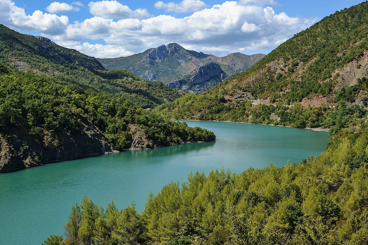
The north is the Albanian Alps, also called the Accursed Mountains: small villages, trekking country and traditional ways of life, with Lake Komani cutting through the limestone. The centre is the Tirana corridor, taking in Krujë and Durrës. The south holds the Ottoman towns and the Albanian Riviera, the stretch most classic tourist itineraries concentrate on.
Many trips pick either the north or the south and use Tirana as the pivot, which keeps transfers manageable. Trying to cover both ends in a short visit means long days on mountain roads. If you want the north's walking and village life arranged for you, organised Albania tours handle the minibus logistics that make these landscapes a pleasure rather than a pain.
For a wider menu of stops within each band, from bunkers and museums to bazaars and viewpoints, see our pick of Things to Do in Albania and place them on the map before you commit to a route.
Northern Albania: Shkodër, the Alps and Lake Komani
Shkodër anchors the north-west, sitting beside Lake Shkodra, which stretches into Montenegro. The old city, bazaar and mosques have benefited from recent renovation, and Rozafa Fortress stands above town as the headline sight. The Museum of Memory in the city is dedicated to the political prisoners of the communist era.
East of Shkodër the map turns dramatic: the Albanian Alps villages, reached by mountain roads, are the base for walking. Treat these as a separate leg of the trip rather than a day trip, because the roads are slow and the valleys sit well off the main north–south line.
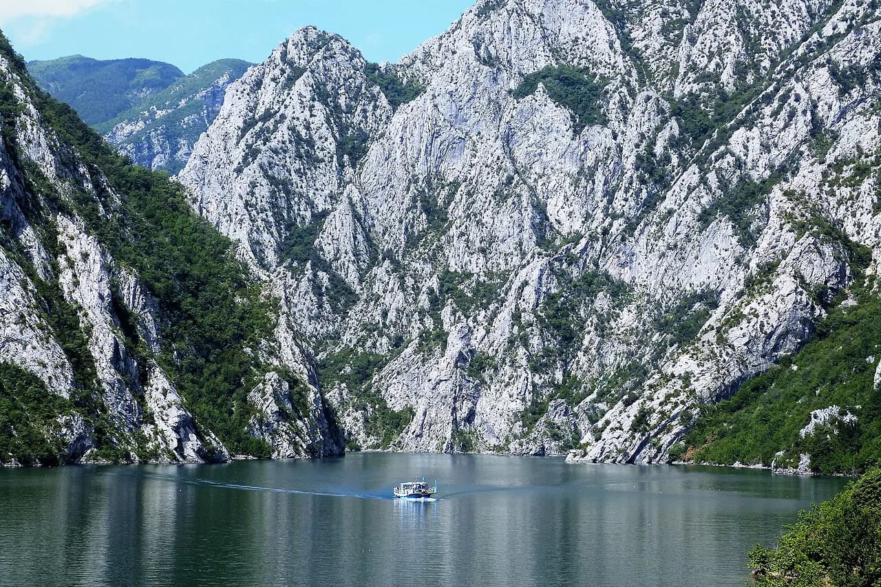
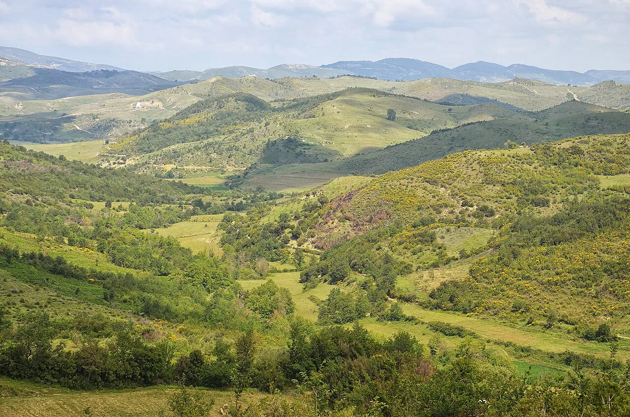
Lake Komani is the map feature that rearranges the north. The crossing is a three-hour ferry along a manmade reservoir between sheer limestone cliffs, and it exists because it is the easiest way for local passengers to travel between villages in this remote region. Build a day around it: the boat is the transport, not a side excursion.
Central Albania: Tirana, Krujë and Durrës
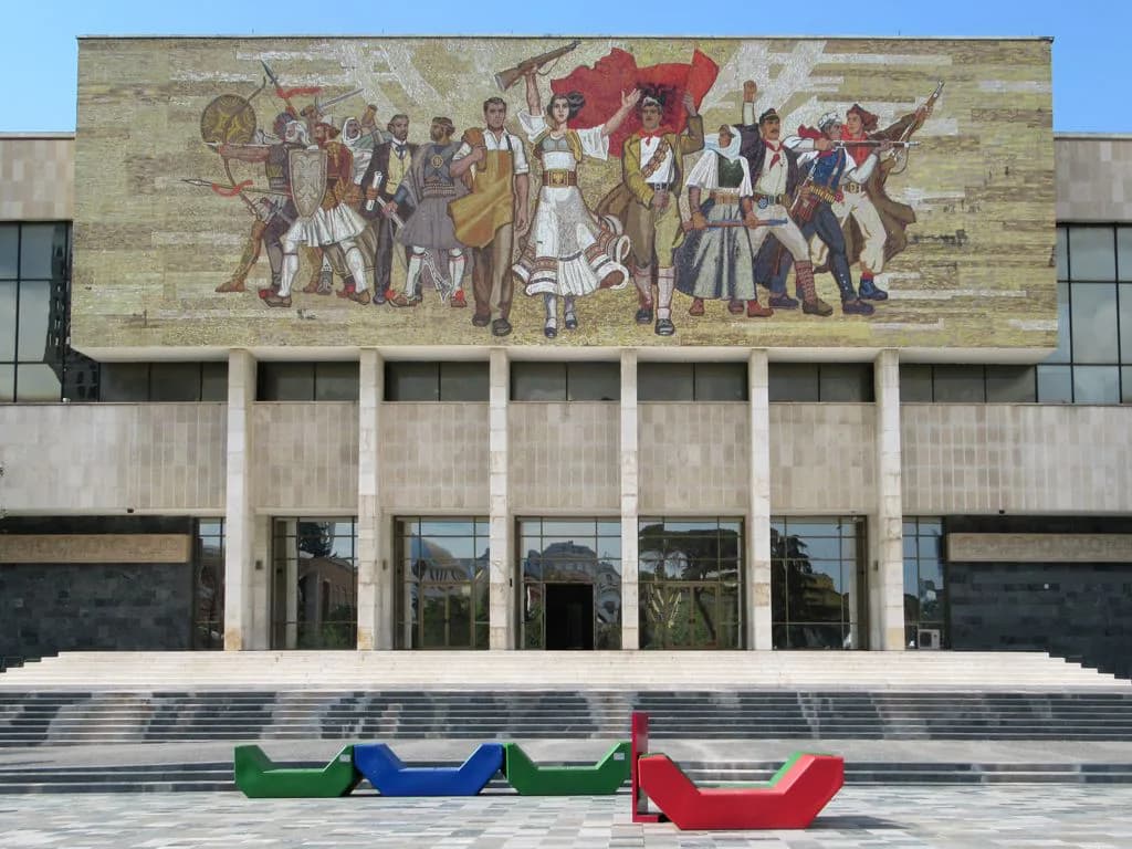
Tirana is the map's hub, with Mount Dajti on its eastern edge and the coast within easy reach to the west. It is the place to experience the country's culture clash, from Italian architecture to the museums that document the communist period, including the House of Leaves.
Krujë sits in the hills north of Tirana, a short hop on the map but a different world: the citadel holds the National Skanderbeg Museum, the remains of a mosque, a Turkish bath and an ethnographic museum, and the restored Old Bazaar has textile and carpet workshops. It works as a half-day detour from the capital.
Durrës lies west on the Adriatic, Albania's second largest city, with a Roman amphitheatre from the 2nd century AD and an archaeological museum covering the region's long history. King Zog's pink and white palace sits on a hilltop nearby; you cannot go inside, but there are views from the top of the hill.
From Tirana the route south runs through the plains, with Berat as the first major stop. The Greek city of Apollonia, founded in 588 BCE and later seized by the Romans, and Ardenice Monastery, whose Church of Saint Mary is filled with frescoes, sit on a branch off the line, roughly 40 minutes from each other.
Southern Albania: Berat, Gjirokastër and the Riviera
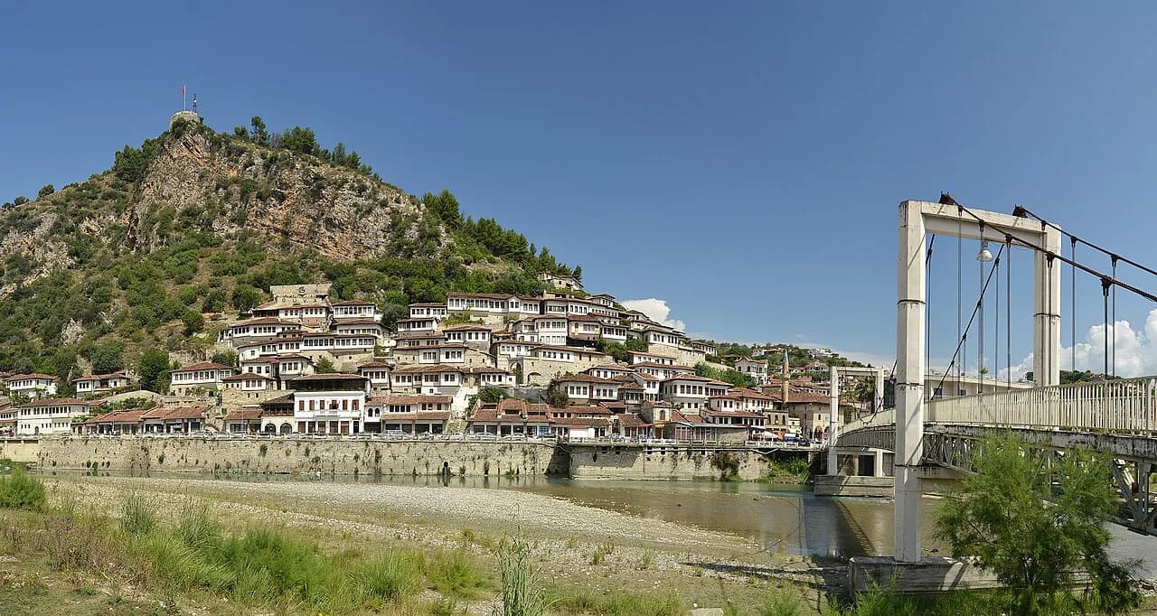
Berat, the City of a Thousand Windows, is built around a precipitous river gorge below pine forests, its Unesco-listed centre a stack of cobbled streets, churches, mosques, an ethnographic museum and white Ottoman houses tumbling down steep slopes. Give the old town proper time on foot, and plan on steps rather than pavements.
Gjirokastër lies further south-east: stone-walled, tile-roofed Ottoman houses spill down a green hillside, with steep cobbled streets climbing to an 11th-century castle and a recently restored bazaar. It is one of the country's most popular stops, so the map position matters as much as the sightseeing: it pairs naturally with the coast to the west and Butrint to the south.
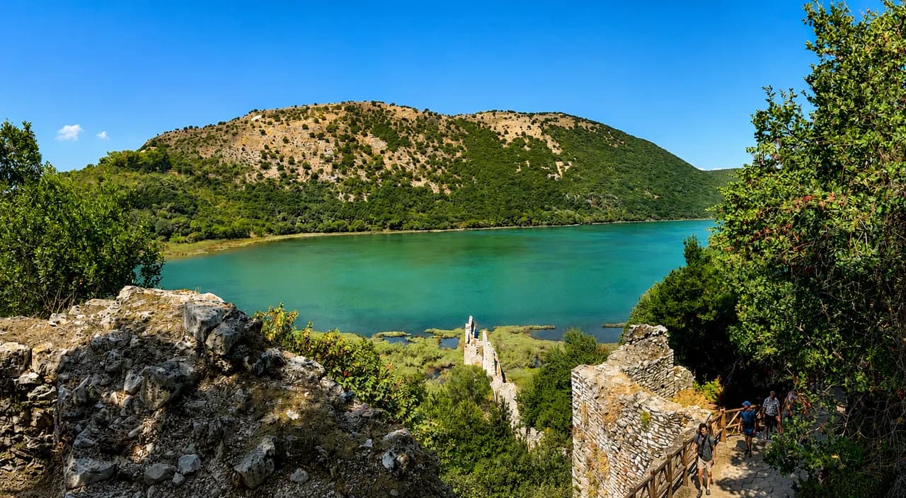
Butrint National Park puts Greek and Roman remains on a hill jutting into the sea opposite Corfu, with an acropolis, a large theatre and mosaics. The wooded site stands apart from the open coast, so treat it as a stop in its own right rather than an inland detour, and see our guide to Unesco sites in Albania for how it fits with the country's other listed places.
Between Gjirokastër and the coast, the Blue Eye (Syri i Kaltër) sits in a forest national park around several natural springs, with the Blue Eye itself a bright pool whose bottom divers have yet to find. It is a short detour inland from the Sarandë road, best combined with a coastal base.
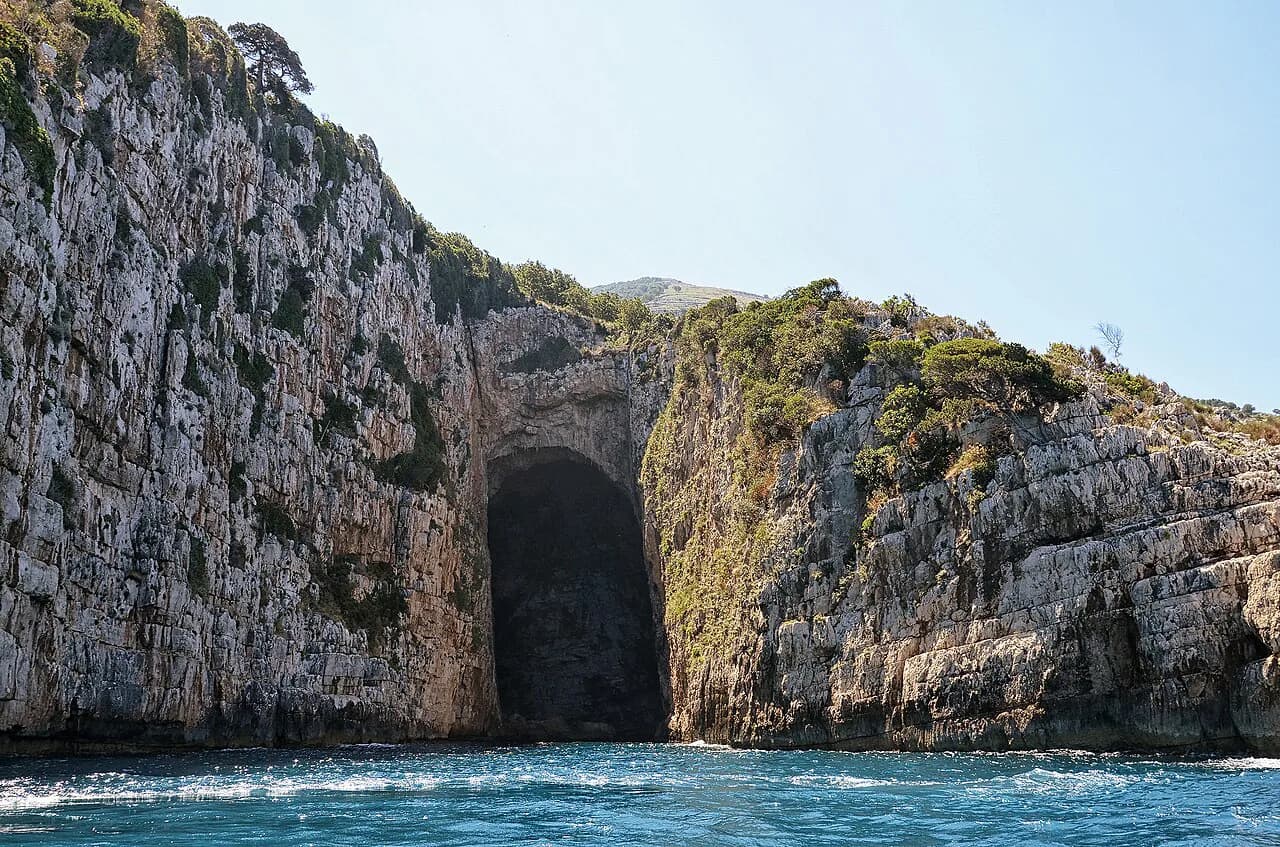
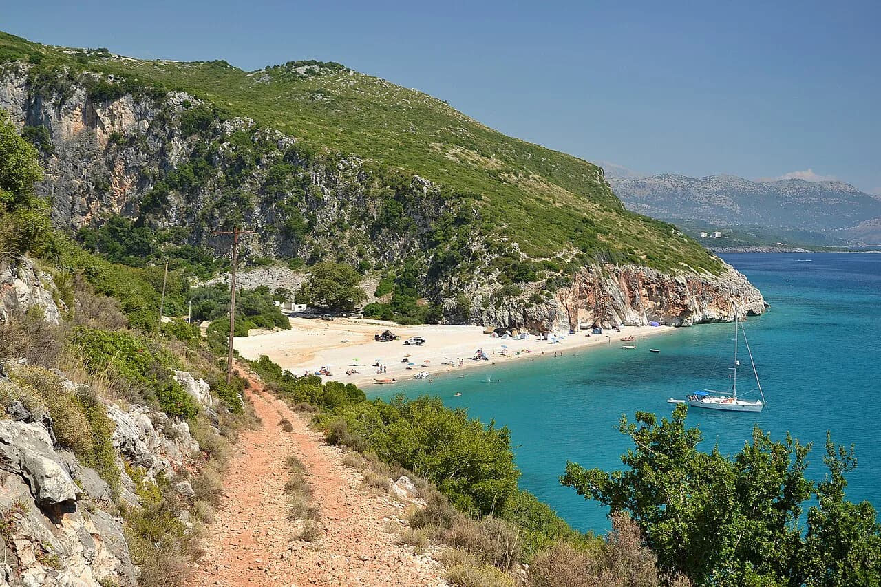
The Riviera runs from Vlorë through Himarë to Sarandë and Ksamil as a single coastal line where the mountains drop to the sea. Offshore islands and the Karaburun peninsula sit just off that line, which is where Albania boat trips come in rather than roads.
Reading the map as a route
Some combinations ride one road or one coastline; others cost you a detour. Berat, Gjirokastër and Butrint stack up as a southern inland-then-coast sequence. Krujë is a loop from Tirana. The Blue Eye sits on the inland side of the Sarandë approach. Durrës is a coastal sidestep from the capital.
The country has no international railway connection, so overland travel means buses, minibuses or a car. Tour companies run their own private minibuses, which is the simplest way to link the mountain and coastal branches without driving the mountain roads yourself.
For the castle stops specifically, from Rozafa in Shkodër to the citadel above Gjirokastër, our guide to Castles in Albania groups them by region so you can see which fall on your line of travel and which need a deliberate branch.
How ferries and boats change the map
Two water crossings do most to rearrange itineraries. Lake Komani's ferry replaces a long detour through the northern mountains, and the Butrint area's setting on the water means the archaeological park and the sea are read together. Both reward planning the day around the boat rather than squeezing it in.
On the coast, boats open up the offshore islands and the Karaburun peninsula, places a road map simply cannot show you. Check sailing conditions and seasonal operation locally before building a day around a crossing, since services vary by time of year.
Map choices for visitors
Use three maps, not one. A country overview fixes the three bands and the north–south spine. Town-level detail is essential in Berat and Gjirokastër, where the castle quarters are a tangle of steep cobbled lanes, and in the lanes of Krujë's Old Bazaar. A road map covers the link between them.
Download offline copies before you travel, especially for the mountain roads and the Riviera, and mark your bases rather than every sight. A map pinned with three or four overnight stops and the ferry crossing is more useful than one crowded with pins you will not reach.
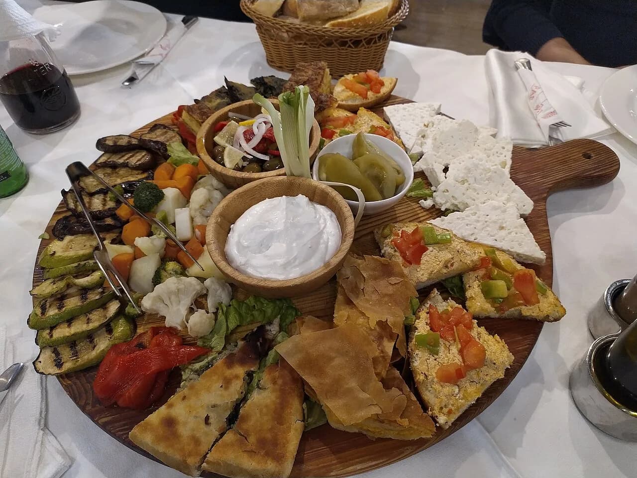
Beyond the driving, the map is also a food map: the farm-to-table cooking around the northern villages is a reason to slow down between stops. For edible souvenirs to carry home, see our guide to Albanian souvenirs.
Which band should your map cover first?
Start with the band that matches your strongest interest: the northern Alps and Lake Komani for mountains and the ferry, the Tirana corridor for museums and easy day trips, or the southern Ottoman towns and Riviera for architecture, ruins and coast. Then check the road or boat between your picks before booking anything.
If you are short on time, choose one band and go deeper rather than crossing the whole country. Confirm current ferry and boat operation locally, since seasonal services change, and keep a paper or offline map for the mountain stretches where signal is patchy.
Explore more Albania guides
Sources
Notes for your Albania trip
Optional updates to our Albania town guides.
You might also like
Continue reading
More guides you'll find useful