Korçë Map for Visitors: Old Town, Bazaar and Main Sights
A visitor's map guide to Korçë, showing how the old town, bazaar streets, cathedral and main sights sit together, with walking distances between them.
On this page
Korçë is a compact city on a plateau in south-eastern Albania, and a visitor's map shows the walkable core, the bazaar quarter and the main square sitting close together. This guide reads that layout for you, so you know which sights cluster for a single loop and which require wheels. It covers the old town and bazaar, the cathedral area, the museums, the edge of the plateau and the city's place on a wider map of the Balkans, and it sits alongside our Korçë: A Practical Guide to Albania's Southeastern City for everything else you need to plan the stay.
What a Korçë map shows at a glance
The first thing a map of Korçë tells you is elevation: the city stands on a plateau around 850 metres above sea level, surrounded by the Morava Mountains. That setting explains why the streets sit where they do, with the built-up area spreading across the flat ground and the mountain edge close by. Keep the plateau shape in mind when you read distances, because a short line on the map can mean a slope in reality.
Korçë is the seat of Korçë County, and on a national map it sits in the south-east, closer to Greece and North Macedonia than to the Adriatic coast. That position matters for onward travel: the city works as a base for the Prespa lakes and the mountain villages of Korçë County as much as for its own streets. If you are plotting a route through Albania, place Korçë early or late in the trip rather than in the middle of a coastal run.
The old town and bazaar quarter on the map
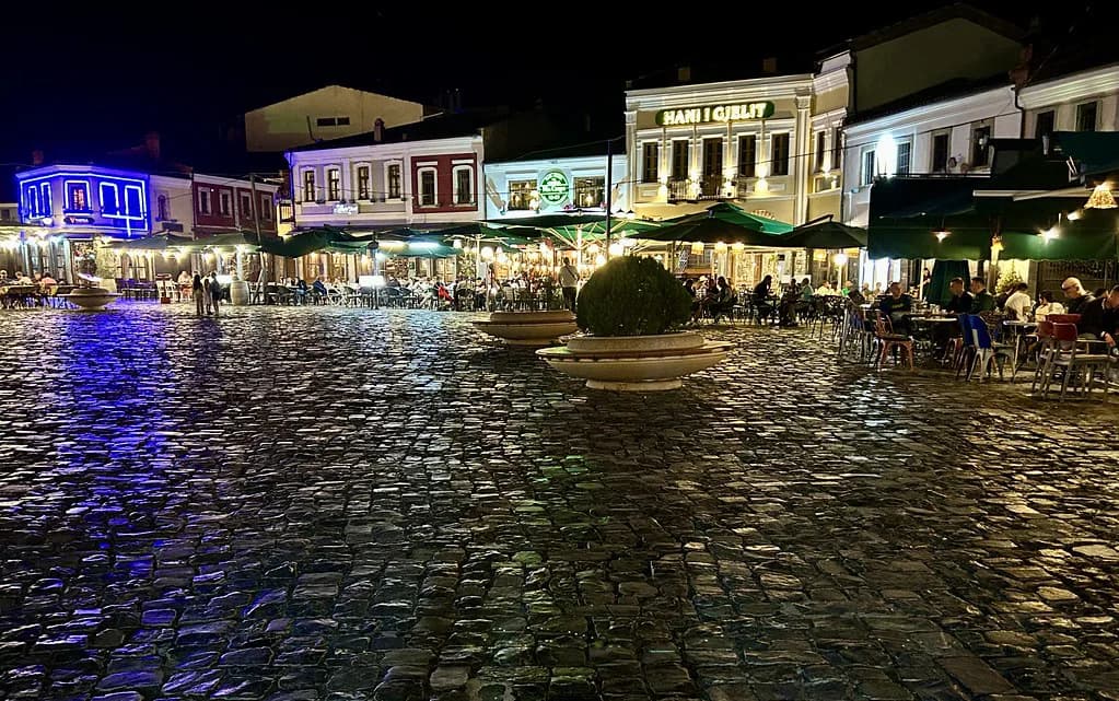
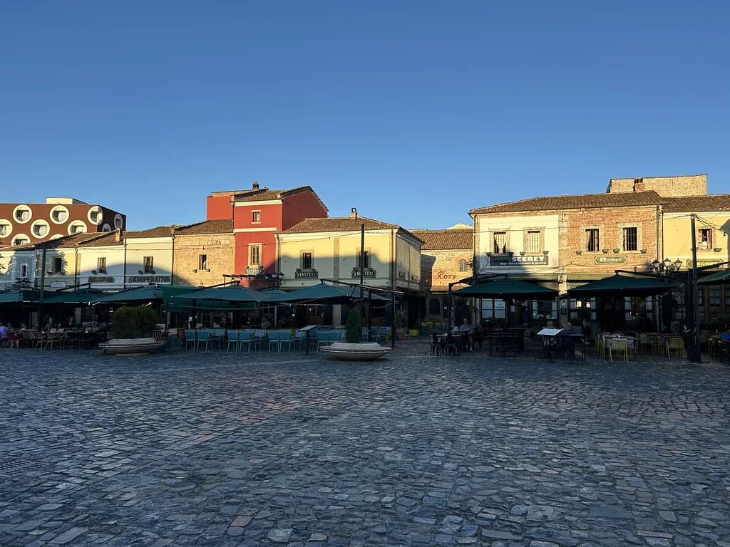
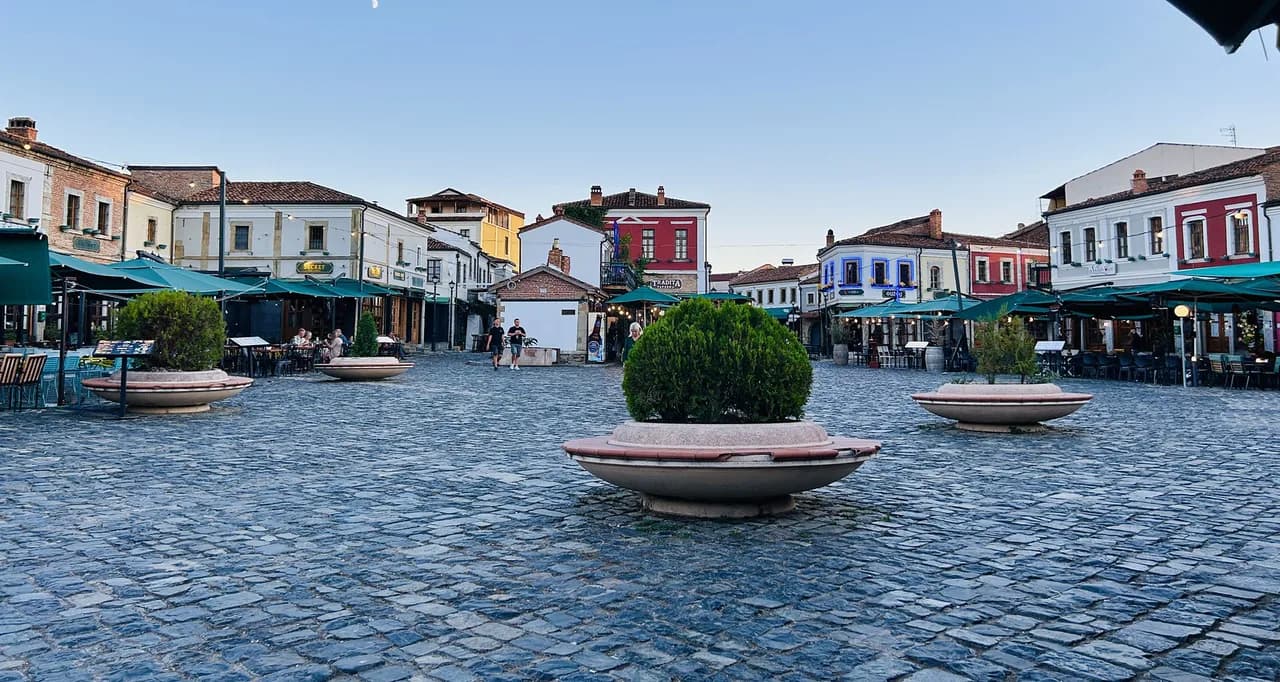
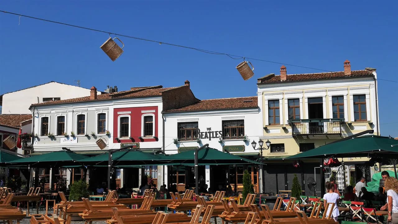
The pedestrian core of Korçë is where the old town and the bazaar streets meet, and this is the part of the map you will use most. The bazaar quarter runs as a network of narrow lanes rather than a single market street, so treat it as a district to wander rather than a sight to tick off. Cobbles and low buildings keep the scale intimate, and the lanes connect naturally to the wider old town.
The Old Bazaar of Korçë is also where food and craft shops cluster, which makes it a sensible map anchor for a mid-morning or late-afternoon walk. Because the lanes are pedestrian, you can link the bazaar to the main square on foot without needing a taxi. Plan your loop around the bazaar first and let the rest of the old town follow.
The main square and cathedral area
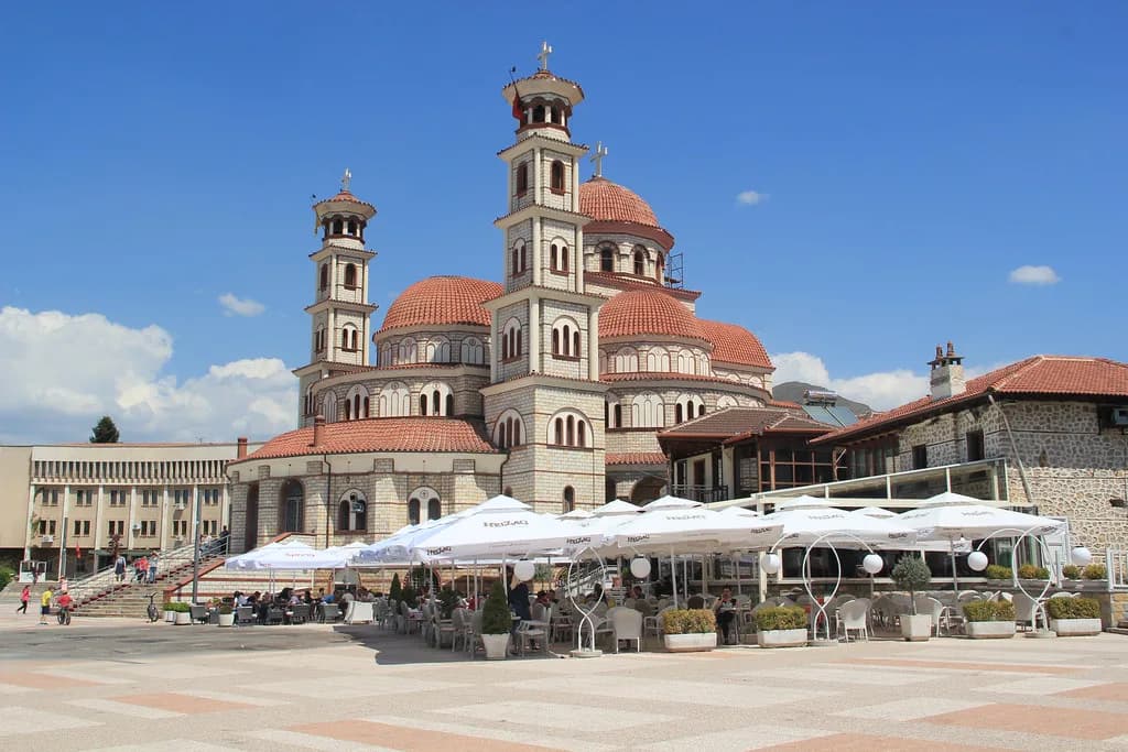
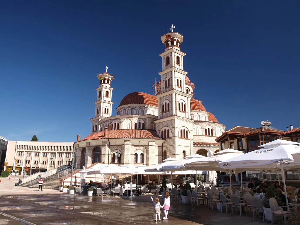
The main square is the orientation point for most first walks in Korçë, and the Resurrection of Christ Cathedral, known locally as Korçë Cathedral, sits at its edge. Use the square as your map's centre: from here you can point yourself towards the bazaar, the old town lanes and the museum cluster without much guesswork. If you arrive by bus or car, head for the square first and then work outwards.
The cathedral area is also where the city's civic buildings and open space give you a clear sense of scale. It is a good place to pause, check your map and decide whether to push on to the museums or drop into the bazaar. Because the square is central, it works as a meeting point if your group splits up.
Museums and galleries: a single walking loop
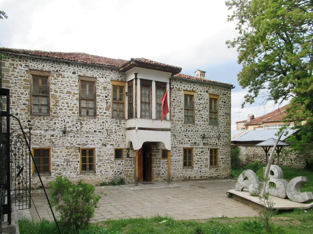
Korçë's museums and galleries sit close enough to the centre that you can link several in one walking loop. The municipality's own site groups its museums and galleries together, so check those pages before you set out to confirm which are open on your day. Group the museum stops with the cathedral and bazaar rather than treating them as a separate trip.
A practical map loop starts at the main square, takes in the cathedral, cuts through the bazaar lanes and finishes at the museums. That order keeps you in the pedestrian core and avoids backtracking. If you only have an afternoon, pick two museum stops and leave the rest for a second walk.
The Morava Mountains and the edge of the plateau
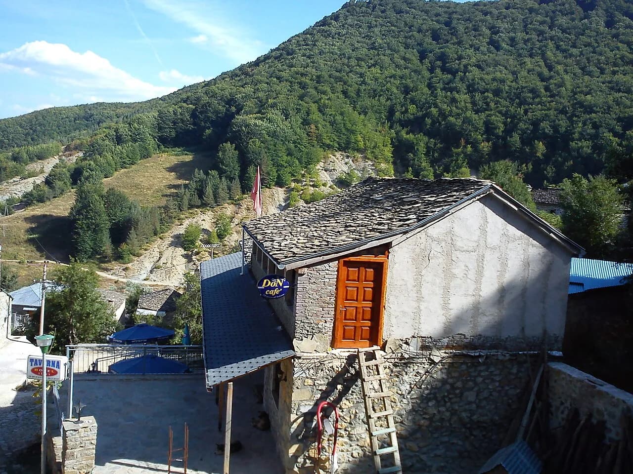
On the map, the built-up area of Korçë stops where the plateau meets the Morava Mountains. That edge is your cue for what lies beyond the city: the terrain rises and the streets give way to routes out towards the villages and lakes of the surrounding county. If you are planning a day beyond Korçë, use the plateau edge as the boundary between a walking day and a driving day.
The mountain setting also shapes how you read the map's outer roads. Routes leaving the plateau climb, so a short distance on paper can take longer than the city-centre equivalent. Villages such as Dardha sit in that mountain belt and are a natural extension of a Korçë map rather than a separate destination.
Reading the map before you arrive
Before you arrive, decide which parts of Korçë you can walk and which need a car or taxi. The old town, bazaar, main square and cathedral sit within the pedestrian core, so a single walking day covers them. The Morava Mountains, the Prespa lakes and the villages of Korçë County sit outside that core and need wheels or a tour.
For the wider county, Lake Prespa is the obvious map extension to the east. It is not a walking distance from the city, so plan it as a half-day or full-day trip with transport arranged in advance. Voskopoja, in the mountains, is the other common extension for travellers based in Korçë.
Where Korçë sits on a map of Albania and the Balkans
On a map of Albania, Korçë sits in the south-east, and on a wider Balkan map it is closer to North Macedonia and Greece than to the Adriatic coast. That position makes it a natural stop on a route between Albania and its neighbours, rather than a detour from the Riviera. If you are coming from Tirana, treat Korçë as a south-eastern anchor and build the rest of the trip around it.
The city's position also explains why maps of the region often show Korçë as a gateway to the Prespa lakes and the mountain villages. Use a national map for the approach and a city map for the streets, because the two scales answer different questions. Neither replaces the municipality's own pages for what is actually open in town.
Map sources worth using
The municipality of Korçë publishes its own city map page, which is a sensible starting point for the city's layout and public information. Use it alongside a standard online map for street-level navigation, and treat the municipality's pages as the source for what the city itself lists.
Printable and stock map images of Korçë exist online, but they are usually generated for illustration rather than navigation and should not be your primary tool. Use them only for a rough sense of the city's shape, then switch to a live map for the streets.
Which part of Korçë do you map first?
Start with the main square and cathedral, walk the bazaar lanes, then add museums to the same loop. That covers the walkable core in a day, and leaves the Morava Mountains, Lake Prespa and the villages for a separate trip with transport. Build your route around those two scales and the map stops being a list of sights and starts being a plan.
If you are planning meals around the walk, the best restaurants in Korçë sit in and around the same central streets, so you can fold lunch into the loop without a detour. For a drink later, Birra Korça is a local name worth knowing when you read the map's edge-of-centre streets.
Explore more Korce guides
Sources
Notes for your Albania trip
Optional updates to our Albania town guides.
You might also like
Continue reading
More guides you'll find useful