Durrës Map: Old Town, Castle and Main Sights Laid Out
A visitor's map guide to Durrës: where the old town, castle, amphitheatre and Roman baths sit, how the boulevard links them to the seafront, and which map to carry.
On this page
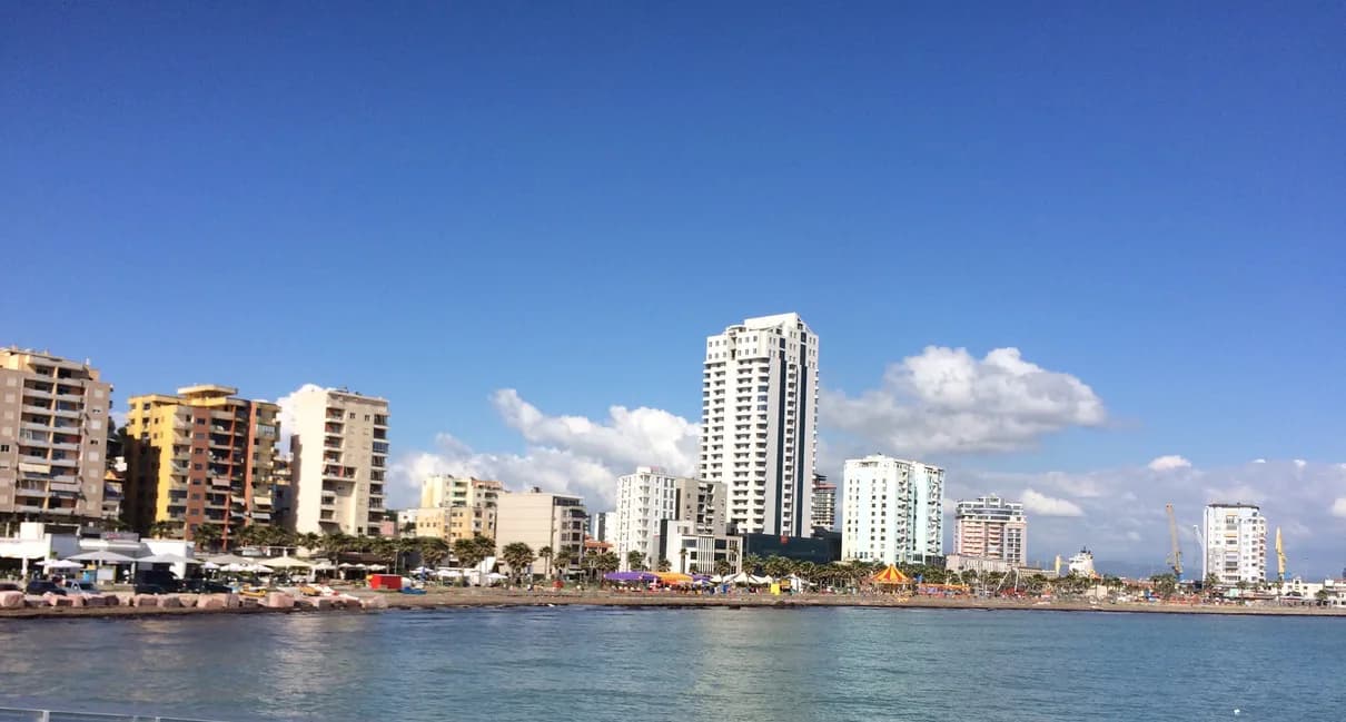
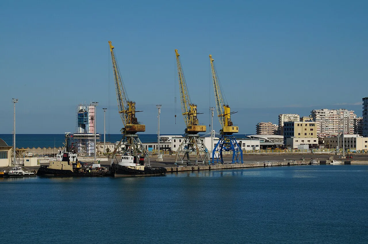
Durrës sits on Albania's coast at the Bay of Durrës, with the port on the water and the city spreading inland from the harbour. City map listings mark the castle, the amphitheatre and the Roman baths as separate attractions in the centre, alongside the Archaeological Museum, a handful of mosques and monuments, and the bus and terminal points you need on arrival. This guide sets out what to plot on a Durrës map and which map format to carry.
Treat a Durrës map as a planning tool rather than a route-finder. Mark the castle, the amphitheatre, the Roman baths and the Archaeological Museum, then add the bus station and the terminal, and you have a workable set of pins plus the two points you need when arriving or leaving.
What the Durrës map shows: bay, coast and city pins
The first thing to fix is the geography. Durrës faces the Bay of Durrës, and a bay map plots the surrounding places of interest, which helps you see how the city sits against the coast rather than treating it as an inland town with a beach bolted on.
On a city map, trace the coast first, then find the streets running inland from it. The port and harbour-side buildings sit between the water and the historic core, so orienting on the coastline before anything else stops the usual first-visitor confusion.
A general Durrës town map shows hotels, tourist sites and restaurants alongside the road network, which is useful for seeing how the seafront development relates to the centre before you commit to a route.
The compact core: castle, amphitheatre and Roman baths
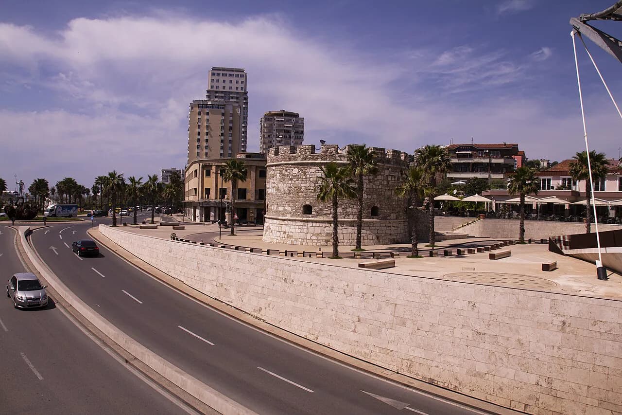
The three sights visitors come for are all marked in the attractions category of the same Durrës map directory: Durrës Castle (listed as Torra), the amphitheatre (Amfiteatri i Durrësit) and the Roman baths (Termat Romake). The directory places each as a separate pin in the city, so plot all three before you set out rather than relying on one being signposted from another.
Plan your loop around that cluster of pins and work outwards. Plot the castle, the amphitheatre and the baths together, then add the rest of the day's stops around them rather than zig-zagging back across the city.
The castle area also shows up as a landmark in its own right on city map listings, so use it as your anchor point when you orient yourself. If you are deciding how to spend a day rather than simply finding these three sights, the broader picks are gathered in things to do in Durres.
Bulevardi Epidamn and the seafront: the boulevard through the centre
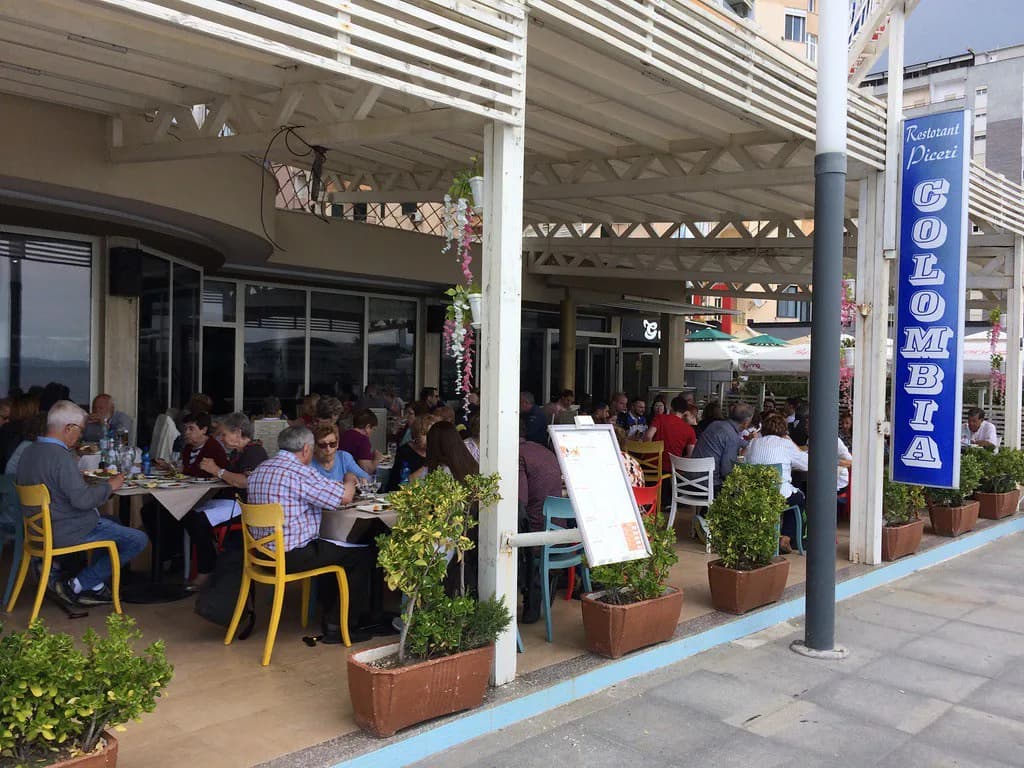
Bulevardi Epidamn runs through the centre and appears on mapping listings with shops, cafés and a hostel along it, so mark it as a reference line to follow rather than as a single destination. It is also the boulevard to note if you are planning where to eat, with the town's restaurant picks set out in Eating in Durrës.
Rruga Egnatia is another named street worth marking, listed with businesses and the Blue Star premises in the same map directory. Named streets like these are more useful than plotting a straight line to a pin, because the street network rarely runs in a direct line.
The city also has its own service points: a post office is listed at Zyra Postare Plazh and a bus station is mapped as Stacioni i Autobuzave at Sheshi 26 Nëntori. Mark both if you plan to send post or leave by bus, and check the exact position of each on the directory.
Marked sights to plot on your map
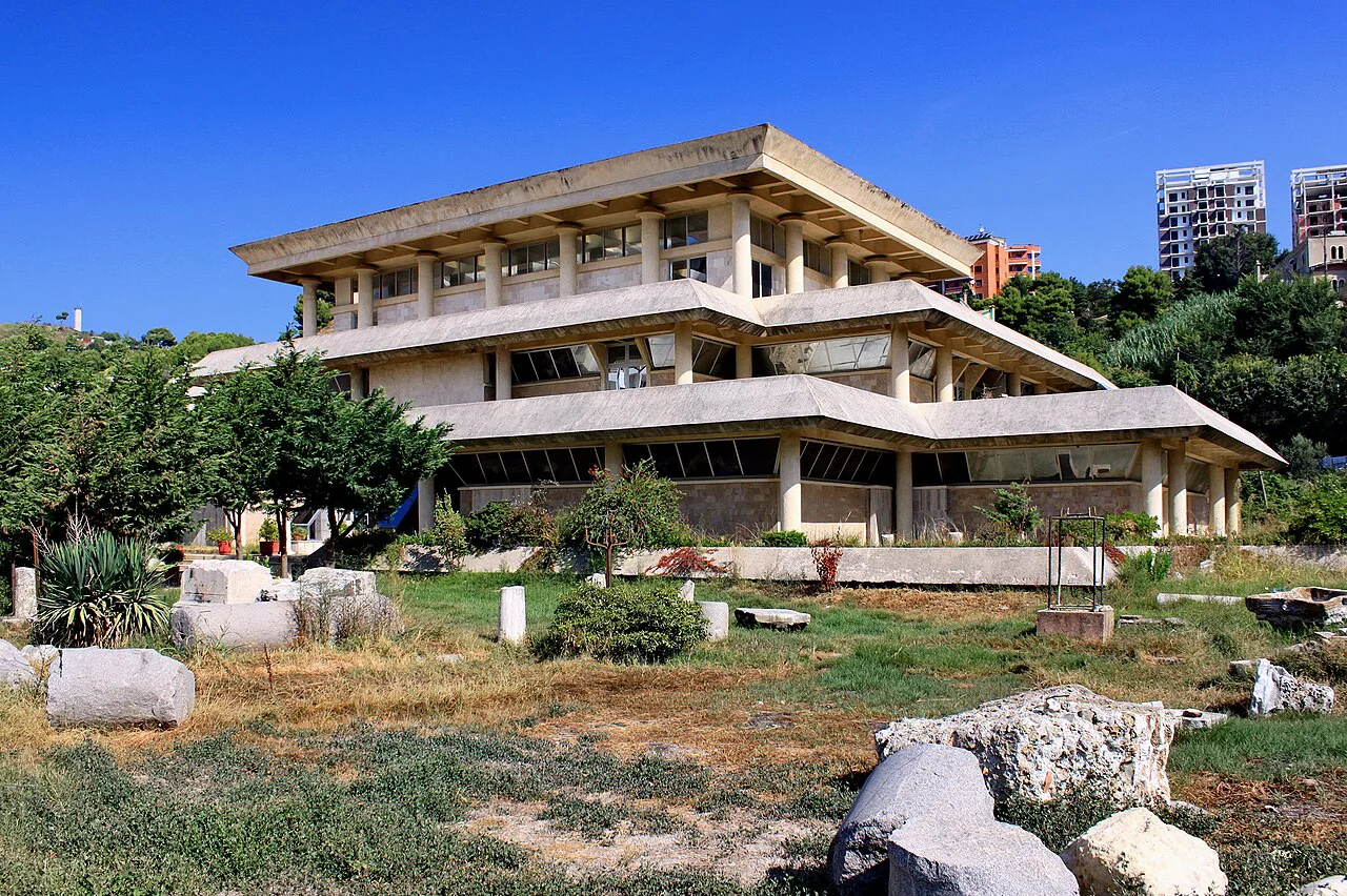
Beyond the central trio, a handful of named places give the map its shape. Xhamia Fatih and the Archaeological Museum (Muzeu Arkeologjik Durrës) both appear as marked points in the city listings, as does Shtëpia e Aleksandër Moisiut, the house associated with the actor Aleksandër Moisiu.
The Unknown Soldier monument (Ushtari i Panjohur) is another point the directory lists, alongside memorial markers such as Deshmoret e Kombit. Add them to your map and judge the route between them on the ground. Check current opening details and any access restrictions before setting out.
The Stacioni i Autobuzave at Sheshi 26 Nëntori is the point to mark for arrivals by road, and the terminal (Terminal) is listed separately. Plot both before you travel so you know which one you are heading for; the Durrës map directory is the single most useful reference for checking names against the ground.
Transport points to mark
Two points matter for anyone arriving or leaving. Stacioni i Autobuzave at Sheshi 26 Nëntori handles the bus side, while Terminal appears as a separate entry in the map directory; marking both avoids turning up at the wrong one.
Durrës also has a pier at Mole zero, which is useful if you are checking the port side of the city on foot. For long-distance planning, a bay map with the surrounding places of interest is handy for seeing how far the city spreads along the coast.
Reading directions and coordinates
Plotted latitude and longitude values appear on city map listings for individual pins, and the 41.3122, 19.4451 coordinates are attached to the Amfiteatri i Durrësit entry itself. Treat such figures as a rough locator for a museum or a bus stop, but do not navigate by coordinate alone: the street network and the named squares determine how you actually walk between them.
The most reliable approach is to navigate by named streets and squares first — Bulevardi Epidamn, Rruga Egnatia, Sheshi 26 Nëntori — and use the pin only for the final approach. Orienting yourself around a few recognisable streets beats following a straight line that cuts through buildings or dead ends.
Which map to carry: offline app, printed plan or vector download
For practical navigation, an offline map app that stores the city directory on your phone is a sound default for Durrës, because it keeps street names, transport points and attraction pins available without a signal. A printed city map such as a downloadable PDF is a decent backup for the old town but is a single-page document rather than a live, searchable map.
If you want a clean plan to study before you travel or a map to print and mark up, a high-resolution vector map of Durrës with editable paths and main roads works well for planning at a desk. It is not an interactive tool, so it will not tell you where the bus stop is once you are on the ground.
For town and road context, a general Michelin map of Durrës covers hotels, tourist sites and restaurants. The trade-off is coverage: use it to understand the layout, then switch to the directory listing for the exact pin when you set out.
Which map gets you through Durrës's centre?
Carry an offline app directory as your primary map. It covers the central cluster of the castle, the amphitheatre and the Roman baths, the transport points at Sheshi 26 Nëntori and the terminal, and the named streets that make navigation practical.
Add a printed or vector plan for planning before you go, and keep the names of Bulevardi Epidamn and Rruga Egnatia in mind as reference points on the ground.
Explore more Durres guides
Frequently Asked Questions
Which country is Durrës located in?
Durrës is a coastal city in Albania, on the Bay of Durrës. City map listings show its attractions, transport points and street names in the regional context.
Where do buses arrive in Durrës?
The bus station is mapped as Stacioni i Autobuzave at Sheshi 26 Nëntori, and a separate terminal also appears in the city map directory. Mark both points on your map before you travel, since they are listed separately.
Sources
Notes for your Albania trip
Optional updates to our Albania town guides.
You might also like
Continue reading
More guides you'll find useful