Berat Map: How the Old Town, Castle and Gorica Fit Together
A visitor's map guide to Berat: how the castle, Mangalem and Gorica quarters relate, which sights sit where, and the walking distances between them.
On this page
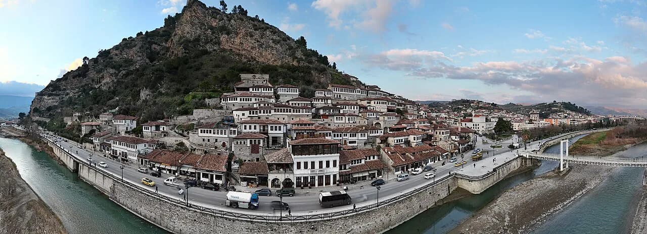
Berat is easiest to navigate once you see it as four pieces: the walled castle on its hill, the Mangalem quarter below it, Gorica across the Osum, and the modern lower town strung along Rruga Antipatrea. Almost every sight a visitor wants sits in one of those pieces, so a map that shows the river, the castle hill and the two old quarters answers most questions before you arrive. This guide lays out what sits where, how the quarters connect on foot, and where the bus station sits on the map.
Where Berat is: the Osum valley between Tomorr and Shpirag
Berat lies in the south of Albania, in the valley of the Osum river between the Tomorr and Shpirag mountains, with an area of about 11.3 square kilometres. Zoom out on any map and the town reads as a river corridor hemmed in by higher ground on both sides. That shape is why the old quarters stack up the slopes rather than spreading out: the river takes the flat land.
On a map, centre on the Osum and you will find the castle hill above the old quarters, with Gorica opposite. Keep the river in view and you will not lose your bearings; if you are working out which quarter holds which sight, our guide to the old town walks through it quarter by quarter.
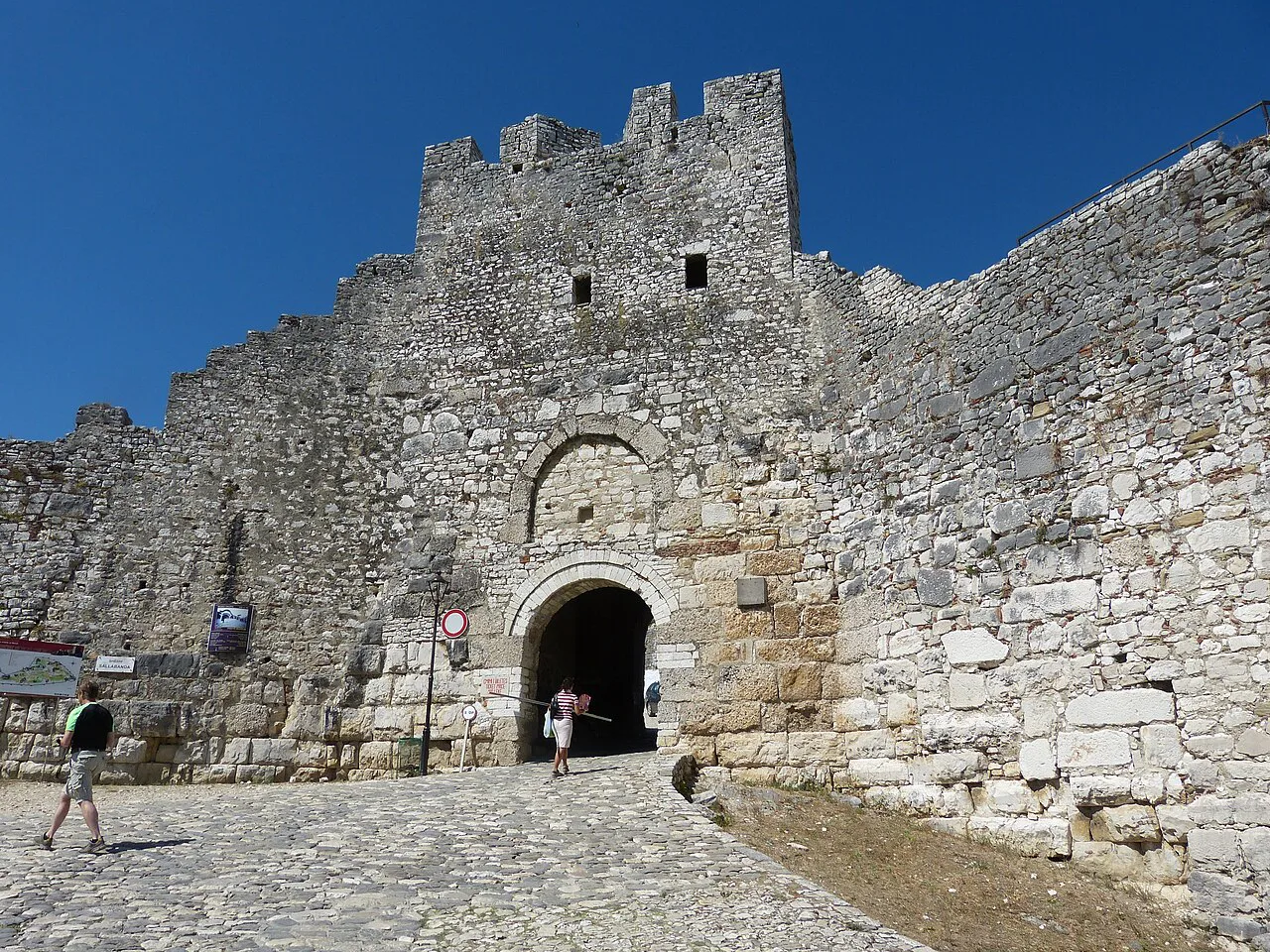
The castle: Kalaja e Beratit on the hill above town
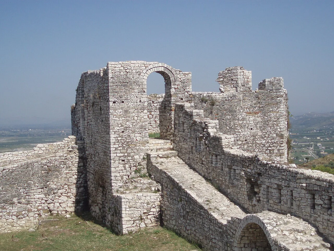
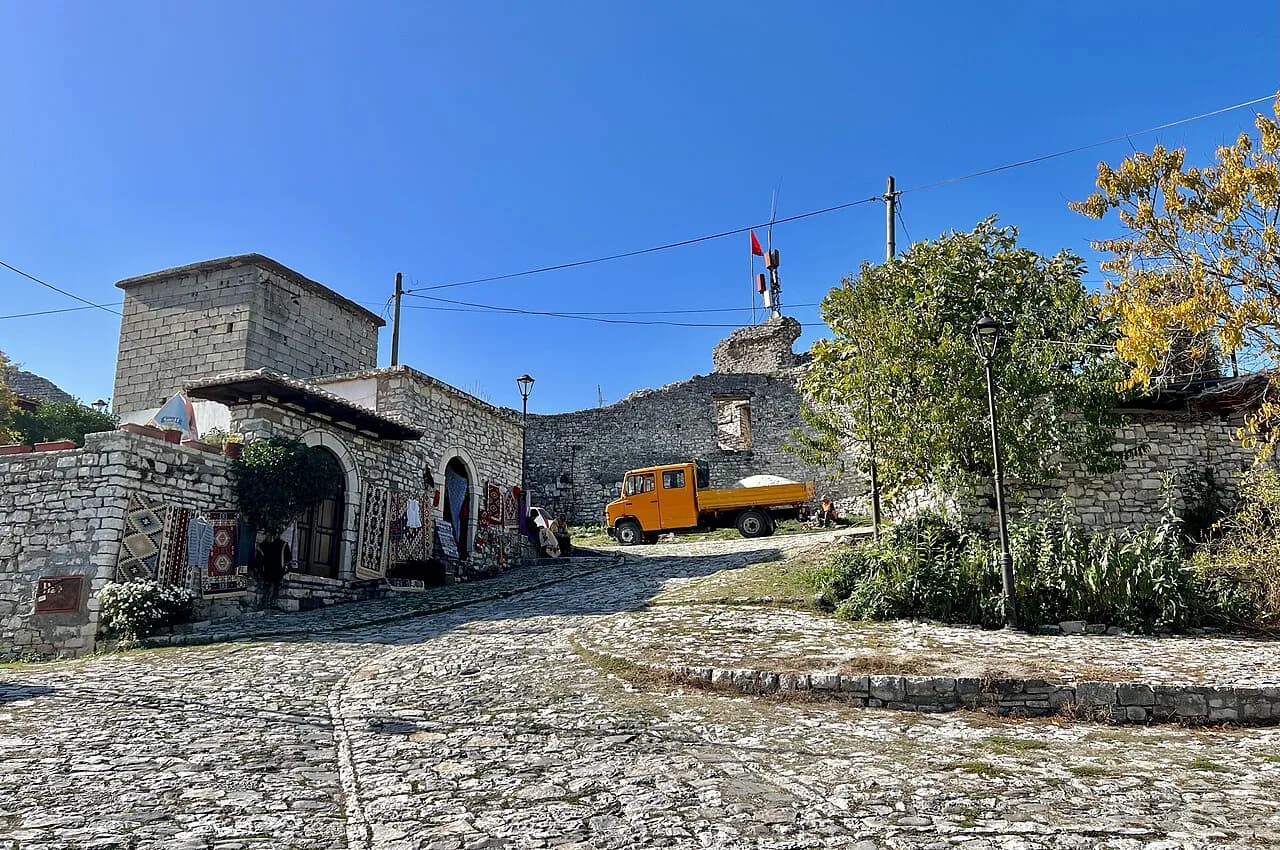
Kalaja e Beratit, the Berat Castle, is the anchor point of the whole map: a walled quarter on the hill directly above the old town, entered from below by a steep climb. On a map listing it appears as its own attraction pin at the top of the built-up area, with the streets of Mangalem winding up towards it. Treat the climb as the day's main effort rather than an afterthought, and wear shoes that cope with worn cobbles. If you are building your day around it, a fuller plan is in our Berat itinerary.
Inside the walls you are not visiting a ruin but walking through a living quarter, and the two sights most maps mark there are the Muzeu Onufri and the Muzeu Etnografik. Both appear on the town listing with their own pins, so plan to see them together rather than criss-crossing the hill twice. A wider list of what to see across Berat is in our guide to things to do in Berat.
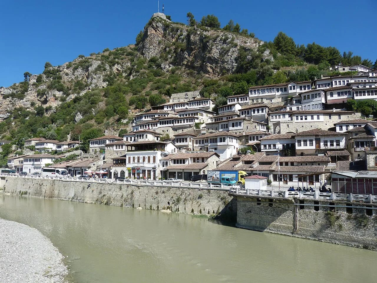
Mangalem and Gorica: the two quarters either side of the Osum
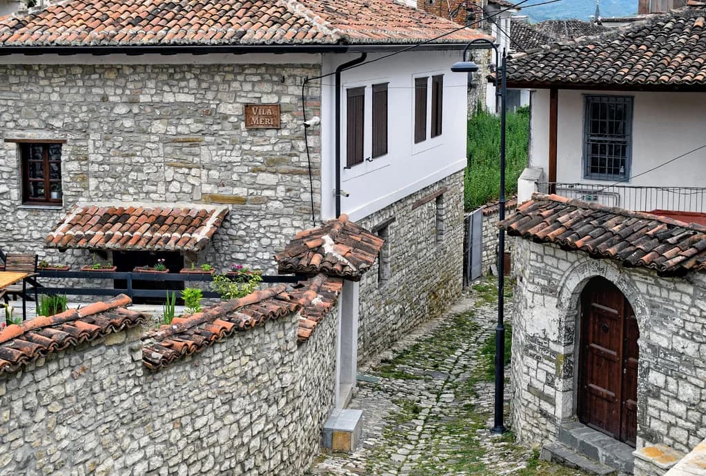
On a map the two old quarters read as close together across the Osum but feel separate because of the climb down and back up. If the architecture of the stacked Ottoman houses is what you came for, our guide to Berat architecture explains what you are looking at on both banks.
Gorica is where you find guesthouses, including villa accommodation in the quarter advertised by the local operator Visit Berat. If you are staying on that side, you will cross the river on foot every time you head for the castle or the lower town, which is worth factoring into how you pace the day. The walk between the quarters is short, but the cobbled streets and the slope cost time and energy; our guide to the best restaurants in Berat helps you plan where to eat at either end of it.
The main sights pinned to their quarters
The mosques and tekkes are spread across the town, so a map is what stops you retracing steps. The Red Mosque is marked on the town listing, as is Teqeja e Helvetive. Group them with whichever quarter you are already walking rather than making a separate trip; our guide to mosques in Berat covers them in more detail.
The churches are similarly split: Kisha e Shën Mëhilli and Kisha e Shën Gjergjit both appear on the town listing with their own pins. Both are religious sites, so cover shoulders and knees and keep voices low when a service is on. The listing marks the buildings' positions rather than opening times, so check on site before making a detour; our guide to the churches in Berat explains what each one is.
The lower town: Rruga Antipatrea, the bus terminal and the parks
Rruga Antipatrea is the spine of the modern lower town: Hotel Tomori is given an address on Rruga Antipatrea, and the main commercial streets run off it. This is where you come down to eat, shop and reach transport rather than to sightsee. If you are planning a meal before or after the climb, our guide to Berat food explains what to look for.
The two green spaces to pin are Parku i Osumit and Parku Celepias, both marked on the town listing. The Terminali "Beratit" bus station is a separate pin in the modern town, with coordinates published on the listing.
The fortress ticket shop and the town's civic buildings
Two further map points matter for logistics rather than sightseeing. A ticket shop for the Berat fortress is marked in the town, and the old cinema, Kinemaja e vjetër, and the Pallati i Kulturës are both pinned nearby in the civic centre. Use them as waypoints when you are working out which side of town you are on.
The town listing also marks banks, ATMs and pharmacies, which is useful if you arrive without cash or need a chemist. Note the pins before you walk up, because the upper quarters are residential rather than served. Nothing about these services belongs on a sightseeing map, but their position tells you where the practical town sits.
Walking times between the castle, Mangalem and Gorica
The distances are small but the terrain is not flat. The climb from the lower town to the castle gate, the drop back to Mangalem and the crossing to Gorica are each short walks that you will feel in your calves, especially in summer heat. Treat the castle as the start of the day and work downhill rather than saving the climb for the afternoon.
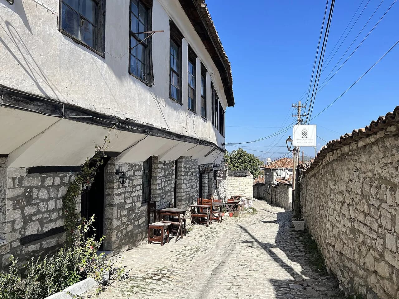
The practical cost is the surface: worn cobbles underfoot, steps between the quarters and narrow lanes with no shade in places. Good shoes matter more here than in most Albanian towns, and a refillable bottle saves repeated detours. If anyone in your party struggles with slopes, base yourselves near the river and use the parks as the flat alternative.
Getting to Berat and where you land on the map
Berat is a common day trip or overnight from Tirana. Visit Berat, a local tour operator, quotes shuttle departures from the Tirana bus terminal at 09:00 and 15:00 with tickets around 7 euros, private transfers for 45 to 60 euros depending on vehicle size, and a drive of about two hours via the SH4 with parking near the old town. These are Visit Berat's own quoted figures rather than standard fares, so treat them as an indication of the market and check current prices and times when booking.
Whichever way you arrive, your first map pin should be the bus terminal or your parking spot, then the river. From there the old town is up from the water and the castle above it. If you are working out how much of the town to see in the time you have, our wider guide to things to do in Berat covers the options by area.
Free tourist map PDF versus offline and online maps
Visit Berat publishes a free PDF map of the town from its website, which is the closest thing to a printed tourist plan you can get before arrival. A separate two-page Berati tourist map also circulates online, showing the highlights. Both are worth saving to your phone before you travel, because the value of a map is highest when you have no signal in the lanes.
For navigation on the ground, Maps.me lists Berat's attractions, guesthouses, banks and bus terminal with coordinates, so it works as a directory as well as a map once downloaded. The caveat is that such listings are user-generated: they are good for finding a street or a museum pin, not for confirming prices or opening times.
Online map services are fine for planning at home and for driving directions from Tirana, but each has its own coverage quirks in the old lanes. The safest approach is two maps: one for the road in, one downloaded for the walking. Use the search pins to find the quarters, then navigate by the river and the castle hill.
Which map to carry in Berat
Carry two things: a downloaded offline map for the lanes, and the tourist plan for the shape of the old town. Use the river and the castle hill as your fixed bearings, and pin the bus terminal and your accommodation before you climb.
Plan the day downhill: castle and museums first, then Mangalem, Gorica and the parks along the Osum. That order keeps the hardest climb early and leaves the flat lower town for the hottest part of the afternoon.
Explore more Berat guides
Frequently Asked Questions
Where is Berat in Albania?
Berat lies in the south of Albania, in the valley of the Osum river between the Tomorr and Shpirag mountains. On a map, look for the river running through the town with the castle on its hill above the old quarters.
How do I get a map of Berat before I arrive?
Visit Berat publishes a free PDF map on its website, and a two-page tourist map of the town also circulates online. For walking, download an offline map application with Berat loaded before you travel so you are not reliant on mobile data in the old lanes.
How long does it take to walk around the old town of Berat?
The quarters are close together, but the cobbles and the climb to the castle slow you down. Most visitors should allow a half day for the castle and its museums, then a couple of hours for the quarters on the far bank.
Can I visit Berat as a day trip from Tirana?
Yes. Visit Berat, a local tour operator, quotes a drive of about two hours via the SH4 and shuttle departures from the Tirana bus terminal at 09:00 and 15:00. An overnight stay gives you time for the castle without rushing the climb.
Sources
Notes for your Albania trip
Optional updates to our Albania town guides.
You might also like
Continue reading
More guides you'll find useful