Ksamil Map: Village, Beaches and Islands
A Ksamil map shows one main road, a narrow village strip and the islands just offshore. See beach positions, bus stops, taxi drop-offs and lounger costs.
On this page
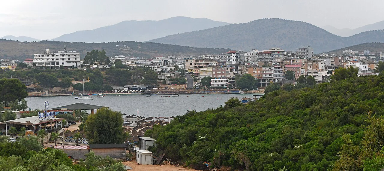
Ksamil fits on a single map view: the main road runs behind a thin band of buildings, the beaches sit in front of them, and the Ksamil Islands lie just offshore. The map looks tiny, but beach-to-beach walks add up quickly. This guide explains how the village, its beaches and the islands sit together, and what you meet on arrival, with more ideas in Things to Do in Ksamil.
What a Ksamil map shows
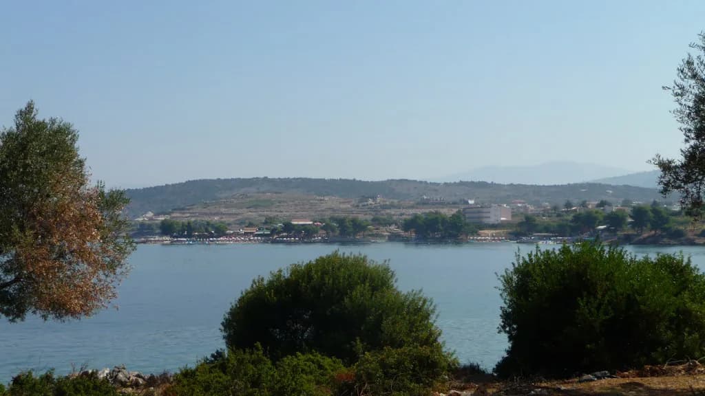
On a map, Ksamil reads as a compact peninsula rather than a grid of streets. The main road comes in from the north, buildings cluster along it, and the shoreline wraps around the front. That shape explains why so much is walkable, and why the same stretch of road carries most of the traffic, sunbeds and people in high season.
Zoom in and the detail that matters is which side of the road you are on. Beach-facing addresses put you a couple of minutes from the water, while places set back inland mean a longer walk with your towel and water. Pick the point closest to the stretch you actually plan to use, and for a wider plan of what fills the day, the Things to Do in Ksamil round-up covers the sights.
Ksamil on the wider map: Sarandë and Corfu
Ksamil sits on the southern Albanian coast, roughly 16 km from Sarandë, the nearest town with a port, bus station and full spread of services.
Look across the water and Corfu is close enough to orient yourself by. That proximity explains the flow of day-trippers and the ferry routes linking the two coasts, but the crossings run from Sarandë, where the ferries dock.
Tirana is hours away by road, not minutes, so travellers flying in usually treat Sarandë as the base for the transfer south. The Ksamil itinerary lays out how a short stay here fits into a longer southern-Albania route.
The beaches on the map
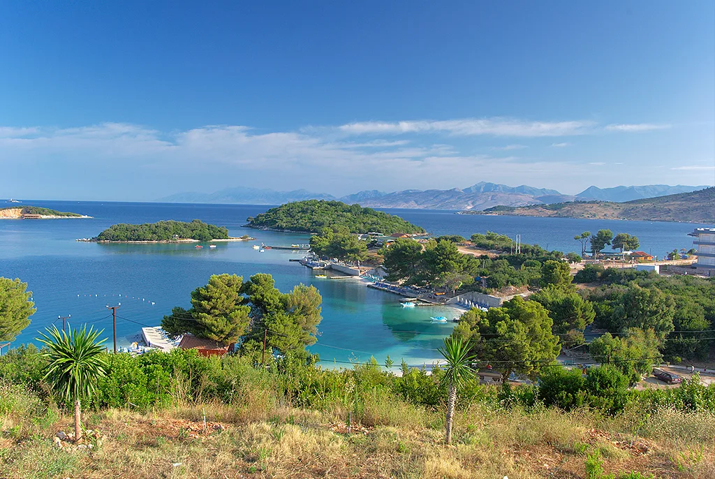
On the map, the beaches fall into two broad groups: the central sands around the village front, and the stretches running out towards the edges of the peninsula. Central beaches are the ones you reach on foot from most of the village, which is why they are the busiest. The further you walk from that centre, in either direction, the more space you tend to find.
Distances that look like five minutes on screen translate into ten or fifteen on a hot day with a bag, and the walk back up from some southern coves climbs. Decide whether you want the convenience of the centre or the quieter edges, then pick your patch of shoreline accordingly.
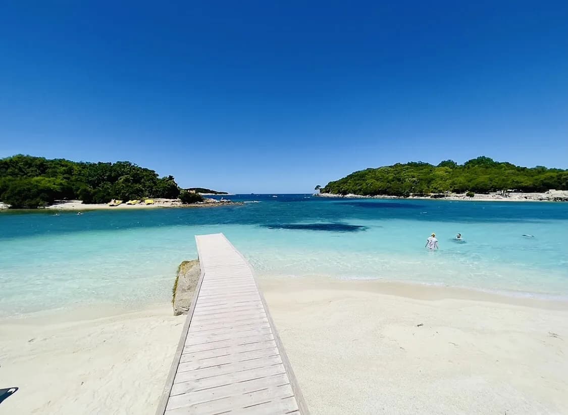
One concrete marker is Plazhi Ksamilit, the main beach, described as a festive stretch with shallow turquoise water and restaurants and bars offering deck chairs. Expect a developed, social front rather than a wild shore.
The Ksamil Islands and how close they are
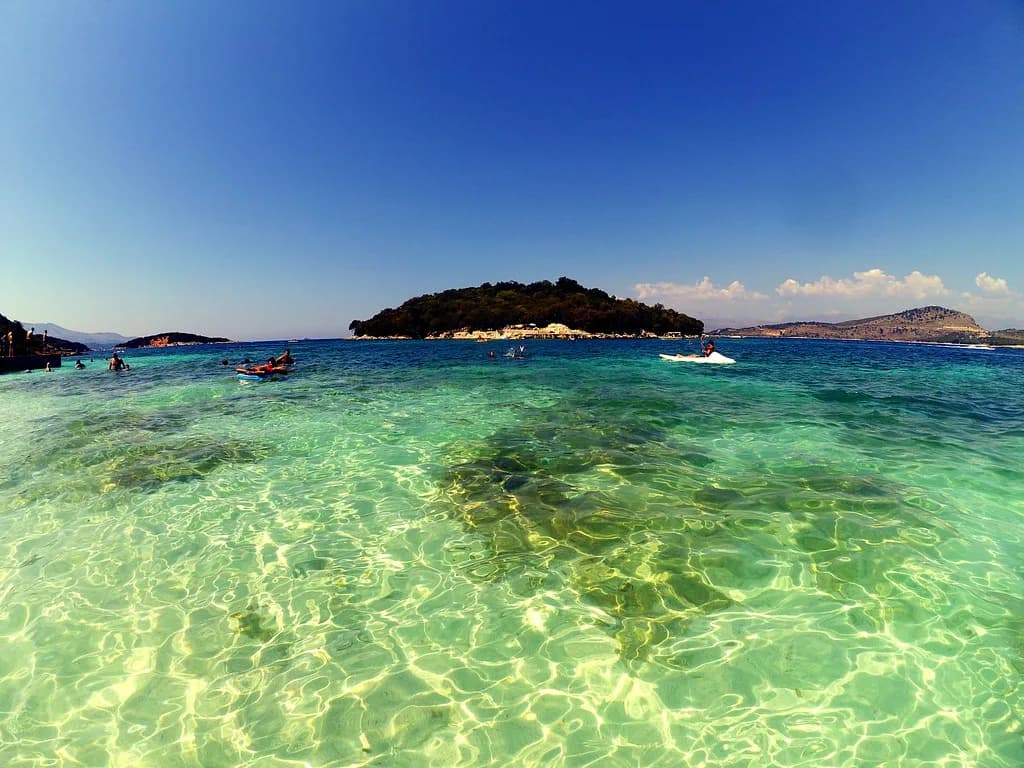
The islands sit just off the southern shore and appear close on paper, and they are close in reality, which is why small boats, kayaks and swimmers head out from the southern beaches rather than the village centre. The Ksamil Islands guide covers what is out there and how visits work.
Treat the islands as part of your beach day rather than a separate excursion. The crossing is short, so the decision is about timing: go early or late to avoid the middle of the day, when the water and boats are busiest. A boat tour can also combine the islands with other stops along the coast.
For an active alternative, kayaking lets you set your own pace between the shore and the islands without depending on a departure time. Check conditions on the day before committing, since the map shows straight-line distances, not the effect of wind and boat traffic on the water.
Arriving on the map: the Sarandë bus and taxis
The bus from Sarandë is the standard way in for travellers without a car. It leaves from close to Sarandë's port and runs roughly every 30 to 60 minutes during the day, with a journey of about 30 minutes over the 16 km. Bring small change in lek for the fare, so withdraw cash in Sarandë before boarding.
The bus comes in along the main road rather than delivering you to a seafront terminus. That matters when choosing where to get off: work out which end of the village your accommodation sits at and ask the driver, since walking back along the strip with luggage is the main friction point of arrival.
From further afield, buses run from Tirana to Sarandë through the day, taking around five hours, and you then change onto the local service. Ksamil is a two-leg journey by public transport, so plan a late arrival with that in mind.
Drop-offs and parking on the map
A taxi from Sarandë is the quick alternative when you arrive with bags or at an awkward hour. Expect to pay around the equivalent of 15 dollars, and agree the price before you set off rather than relying on a meter. The drop-off will be on or near the main road, so the same question applies: which end of the village is yours?
With your own car, the map's limitations show up quickly. The village strip is narrow and central parking is charged for, part of the same cost squeeze that pushes up sunbed prices. Arriving outside the busiest hours makes finding a space less of a fight.
Reading the beach map before you pick a spot
Free sand is hard to come by on the main Ksamil beaches. Some stretches do not let you sit on the sand without hiring a lounger, so arriving and expecting to spread out is unrealistic in the centre. Budget around 2,000 lek for two sunbeds and an umbrella, and reserve a day ahead when you can because the beds fill quickly.
Prices are higher here than at other Albanian beaches, and the difference shows up across sunbeds, food and parking rather than in one obvious charge. Enjoying the shoreline on foot also means expecting to pay for a lounger, so work out what the day costs before you commit.
Bring water shoes, because Albanian beaches can be rocky underfoot, and that matters more when you are paying for a spot you cannot easily abandon. A quick look at the beach entrance saves both money and a wasted walk.
Why the quieter beaches sit further out on the map
Crowding on the Ksamil map runs in the opposite direction to convenience. The beaches within walking distance of central Ksamil collect the most people and the most criticism, and reviews of the central sands are noticeably weaker than those of the stretches further away. The further you get from the village centre, the better the ratings tend to be.
That does not make the centre a mistake. If you have one day, no car and a base in the village, the central beach is the sensible choice, and you pay for the convenience in noise and company. With a car or the willingness to walk, the map points you towards the edges, where the same sea comes with more space.
Be blunt about expectations: Ksamil is a busy, developed beach destination in season, and even September can feel crowded, with sunbeds hard to find and the water full of people. Plan around that rather than hoping for an empty shore.
Using the map offline and checking details
Download an offline copy of the area before you travel, since you will use the map most while walking between beaches. Pin your accommodation and the main road, and the rest follows from those two points.
A downloaded map is more useful than a live one for judging distances, because you can see the whole village at once and compare the walk from one beach to another. Screenshot the beach layout and keep it in your photos, where it works without a signal.
For food after a long beach day, the best restaurants in Ksamil are clustered in the village itself, so the map doubles as a dinner plan. Arrive early in high season if you want a table without a wait.
Which part of the Ksamil map suits you?
Choose the central beaches if you are on foot, short on time and want everything within a few minutes of your base, and accept the crowds and lounger charges as the price of that convenience. Choose the outer stretches if you have a car or are happy to walk further, where the map shows more space and the ratings generally improve.
Either way, settle where you are staying on the map before you arrive, so you know which end of the main road your bus or taxi should stop at. That single decision shapes how much walking you do with your bags and how easily you reach the water on your first afternoon.
Explore more Ksamil guides
Sources
Notes for your Albania trip
Optional updates to our Albania town guides.
You might also like
Continue reading
More guides you'll find useful