Shkodër Map for Visitors: Old Town, Castle and Main Sights
Use this Shkodër map guide to see how the walkable old town, Rozafa Castle, the lake villages and the wider day trips fit together on one plan.
On this page
Most of Shkodër's sights sit in a compact centre you can cross on foot, with Rozafa Castle on its own hill above the city and the lake villages of Shiroka and Zogaj lying out by the water rather than in the town itself. This guide reads the map in that order: the walkable core first, the castle next, then the lake edge and the day trips that fall well outside the city. It names the streets, mosques, cathedrals, museums and villages you will be looking for, so you can plan a route instead of a list.
What the Shkodër map shows at a glance
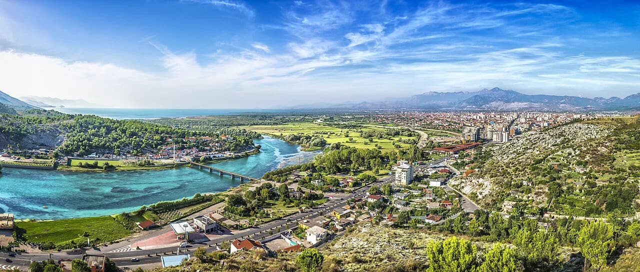
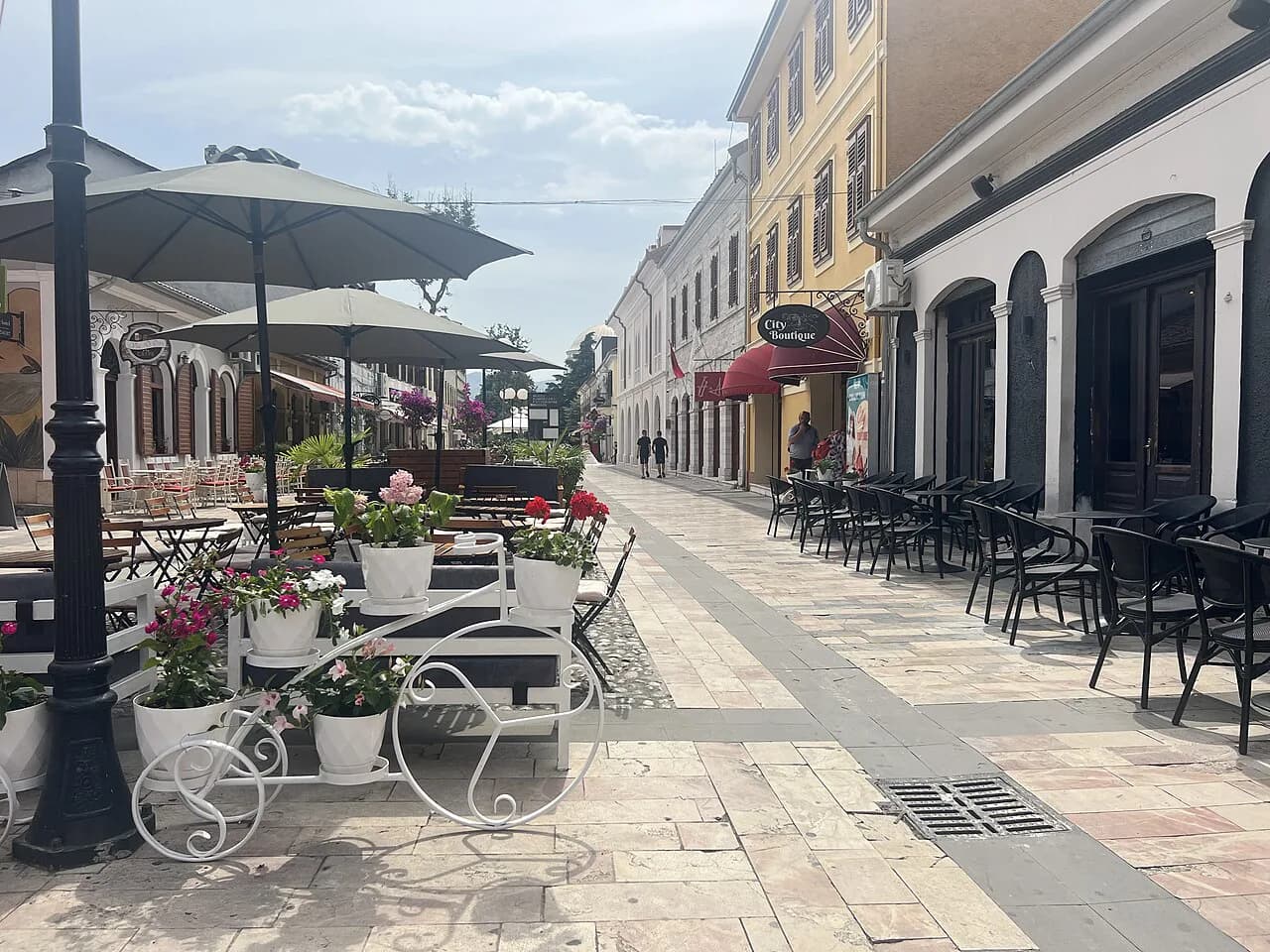
Three layers matter when you open a Shkodër map. First, the flat, walkable centre with Rruga Kolë Idromeno and the surrounding cultural quarter of museums, shops and cafés. Second, Rozafa Castle, sitting on a hill above the built-up core rather than in the street grid. Third, the lake edge, where Shiroka and Zogaj are listed as lakeside villages rather than city neighbourhoods, so they belong to a different part of your planning.
For orientation, Shkodër sits between the mountains and Lake Shkodër and works as the gateway to the Albanian Alps, which is why so many visitors treat it as a stop before heading north. A city apartment listing measured itself as 5 km from Rozafa Castle Shkodra and 6 km from Lake Skadar, which gives a useful sense of how far the castle and the lake edge sit from the centre. Treat those figures as a rough scale for the map rather than a walking time.
How the city centre is laid out
The centre is where the map earns its keep. Rruga Kolë Idromeno is the pastel-coloured pedestrian street of shops and cafés, and the museums, cathedral and theatre cluster around it within a short walk. Shkodër is described as more laid-back and compact than Tirana, which is exactly why a map of the centre is enough for a half-day on foot.
Outside the pedestrian core, the map fills with the practical markers you will actually use: the central fruit and vegetable market, the Qendër Tregtare shopping centre, the Migjeni Theatre, the Loro Boriçi stadium and the train station. Grouping those first tells you where the centre begins and ends before you start plotting sights.
Sights inside the centre on the map
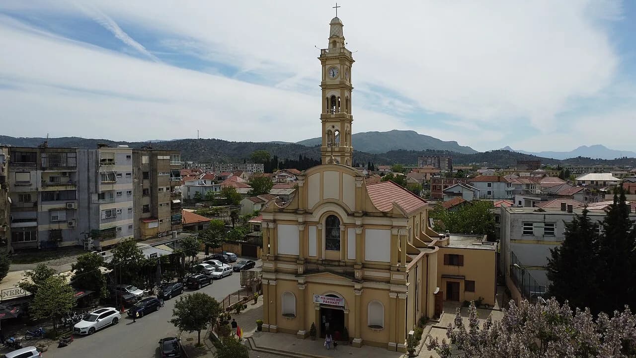
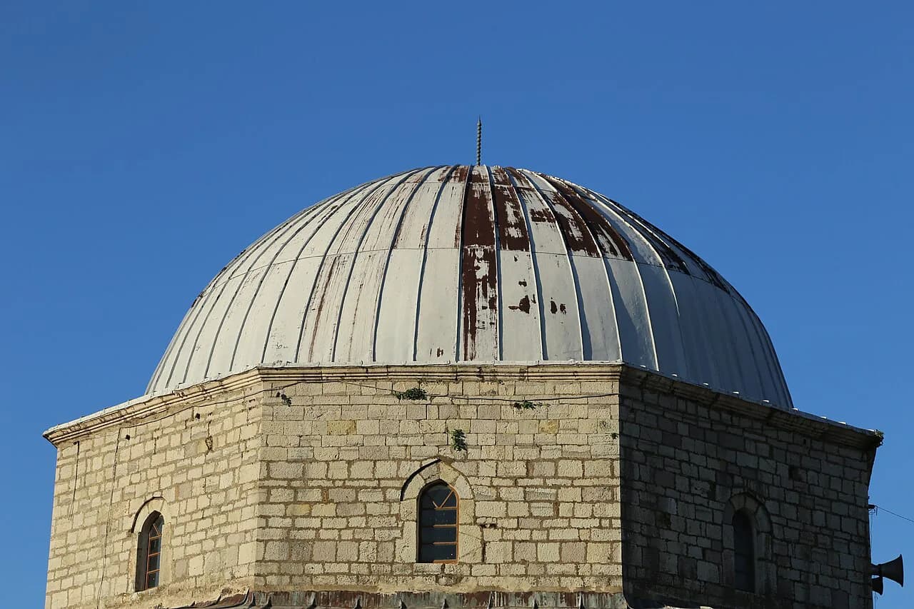
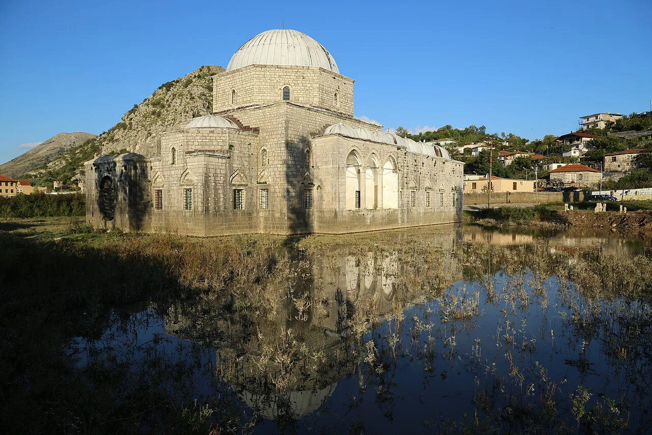
Four landmarks anchor the walkable centre, and you can visit them in one loop without any transport. The Lead Mosque, known in Albanian as Xhamia e Plumbit, and St Stephen's Catholic Cathedral sit among the streets around the cultural quarter, while the Marubi National Museum of Photography and the Site of Witness and Memory Museum give the centre its museum pair. Plot those four on your map first and the rest of the centre fills in around them.
When you are ready for a meal between sights, the centre is dense with places to eat, from byrek and pizza counters to sit-down restaurants with outdoor seating. Our guide to the best restaurants in Shkoder covers where to break the walk, so you can build lunch into the route rather than detour for it.
Opening hours at these museums and the cathedral change through the year, so confirm them on the day you plan to visit before you set out. The map tells you how close they are to each other; the sites themselves tell you when the doors are open.
Rozafa Castle and the museum inside the walls
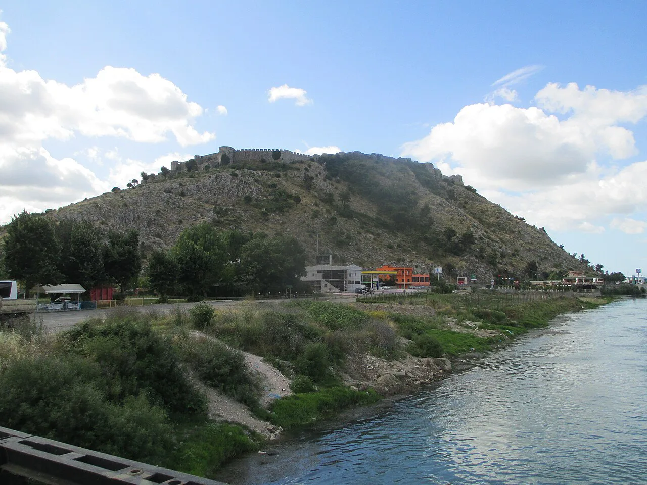
Rozafa Castle, Kështjella e Rozafës, is the sight that breaks the walking map, because it stands on its own hill above the city rather than in the street grid. It appears on a Shkodër map as a separate point with its own coordinates, and a Historical Museum of the Castle, a Venetian complex and a tower are listed in the castle area. The castle is the sight that needs its own leg on the map, so plan it separately from the centre.
On the map, treat Rozafa Castle as its own leg — a vehicle trip or a tour stop — rather than part of the central walking loop. It is the one major sight above the city that does not fit neatly into a half-day on foot, so give it its own slot in the plan.
The lake edge on the map: Lake Shkodër, Shiroka and Zogaj
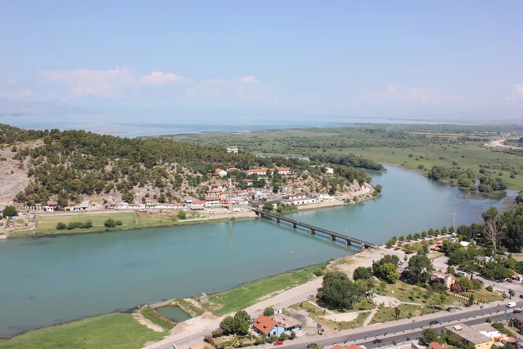
On the map, the lake is a separate destination that pulls you out of the city. Shiroka and Zogaj are lakeside villages on the shore of Lake Shkodër, reached by road, and they read as villages rather than suburbs, which is why they need their own slot in your day. Shiroka has its own guide if you want to plan the stop in detail.
The lake is best treated as a relaxed half-day: a wander through the villages and a long lunch with a view, rather than a tick-list of sights. The city centre is walkable, but the lake shore is not, so plan on a bike, taxi or an organised tour for this stretch of the map.
Boat landings for Drin and Buna river trips
Drin and Buna river boat trips are among the things to do around Shkodër, but they sit outside the walkable centre, so they belong on the outer ring of your map rather than the old town. Note where the departure point is before you book, because getting to the landing is a separate leg from getting into town. Before booking, check the current departure point and schedule with the boat operator directly, since the landing is a separate leg from getting into town. Our Buna River guide covers the river setting itself.
River trips run to their own arrangements, and departure points, times and prices are not part of a city map, so check the details for the trip you are booking rather than relying on a map pin. Plan the transfer to the landing alongside the trip itself.
Getting around the map: on foot, by bike and by taxi
The city centre is walkable, and bikes, buses, taxis and tours cover the sights further out, including the castle and the lake villages. That split is the single most useful thing to carry from the map: the museum quarter and the pedestrian street are on foot, everything on the outer ring needs wheels.
If you would rather hand the routing to someone else, a guided city tour or a local food tour removes the transport question entirely. Our Shkoder tours page sets out the options for covering the castle and the lake without driving yourself.
Day trips beyond the city map
Several of Shkodër's most talked-about experiences sit well outside the city map and cannot be walked to. Ulza Lake and the Mat River Canyon, Lezhë, Rana e Hedhun beach, Theth National Park and the Komani Lake ferry are all day trips that need their own transport or a booked tour, so plan them as separate trips rather than map pins in town. Theth appears on the map as a mountain destination, not a neighbourhood.
The Komani Lake ferry in particular runs on its own timetable, and seasonal services do not run year-round, so confirm the sailing and the connecting road legs before you commit a day to it. The same applies to any tour that combines the lake with the Albanian Alps.
Practical map markers visitors look for
A few markers earn their place on any Shkodër map because they answer an immediate question. The Migjeni Theatre, named after the Albanian writer and poet Millosh Gjergj Nikolla, is a cultural landmark in the centre of Shkodër, the Loro Boriçi stadium sits with published coordinates, the central market handles fruit and vegetables, and the train station marks the outer transport ring. Pin those four and you will always know which way you are facing.
For a food-focused day, the centre's cafés and bakeries sit within the same walking loop as the museums, so a market-to-lunch route works without transport.
Which parts of the Shkodër map can you walk?
Walk the centre: Rruga Kolë Idromeno, the Lead Mosque, St Stephen's Cathedral, the Marubi museum and the Site of Witness and Memory are all on foot. For Rozafa Castle and its Historical Museum of the Castle, and for the lake villages of Shiroka and Zogaj, plan on a vehicle or a tour. Save Ulza Lake, Lezhë, Rana e Hedhun, Theth and the Komani Lake ferry for days when you have transport or a booked tour.
Explore more Shkoder guides
Sources
Notes for your Albania trip
Optional updates to our Albania town guides.
You might also like
Continue reading
More guides you'll find useful