Saranda Map: How the Town Fits Together for Visitors
A visitor's guide to the Saranda map: how the seafront, town centre and hillside sit together, what sits where, and how to plan a walk through town.
On this page
The Saranda map you need is a simple one: a town wrapped around a gulf of the Ionian Sea, with the water on one side and rising ground on the other. That single line tells you almost everything about how to walk it, because once you know which way the sea is, the seafront and the streets behind it fall into place. This guide lays out how the town sits together and how to use the town's own digital map alongside a phone map.
What the Saranda map shows at a glance
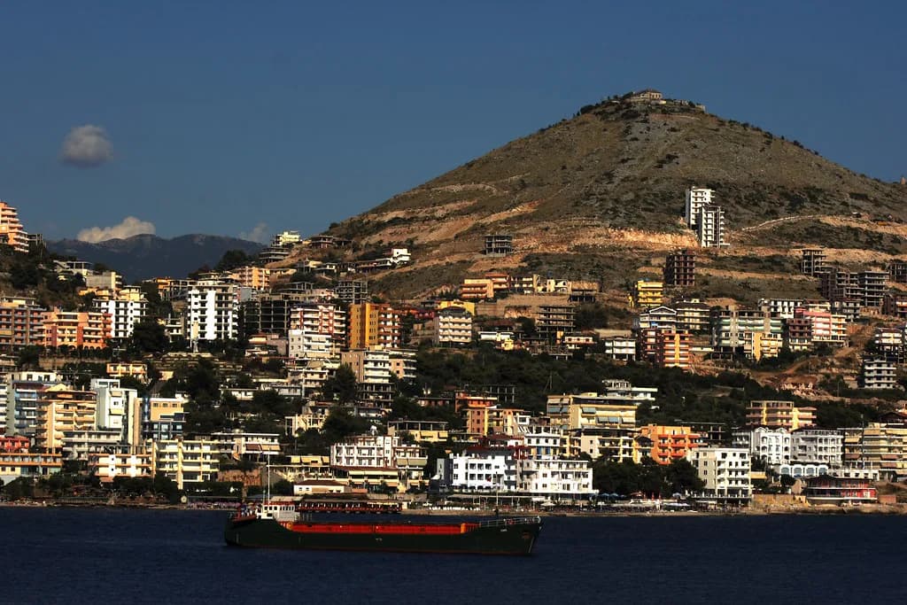
Saranda sits on an open gulf of the Ionian Sea, within the Mediterranean. On a map the town reads as a settled area along the shore, with land rising behind it. Fix the sea on your left or right before you walk and you will not lose your direction.
The coordinates listed for the town, roughly 39°52.5′N, put it in the southern stretch of the Albanian coast. That is worth knowing when you plan onward hops, because towns further north along the coast sit on a different stretch of shoreline. Keep the coordinate reference handy when you compare the Saranda map with maps of neighbouring towns.
Load a phone map and centre it on Saranda before you leave your accommodation, so the town sits in the middle of the screen rather than off to one side. Checking the centring takes a moment and saves you squinting at a screen on a street corner.
Where Saranda is in Albania and how the town is laid out
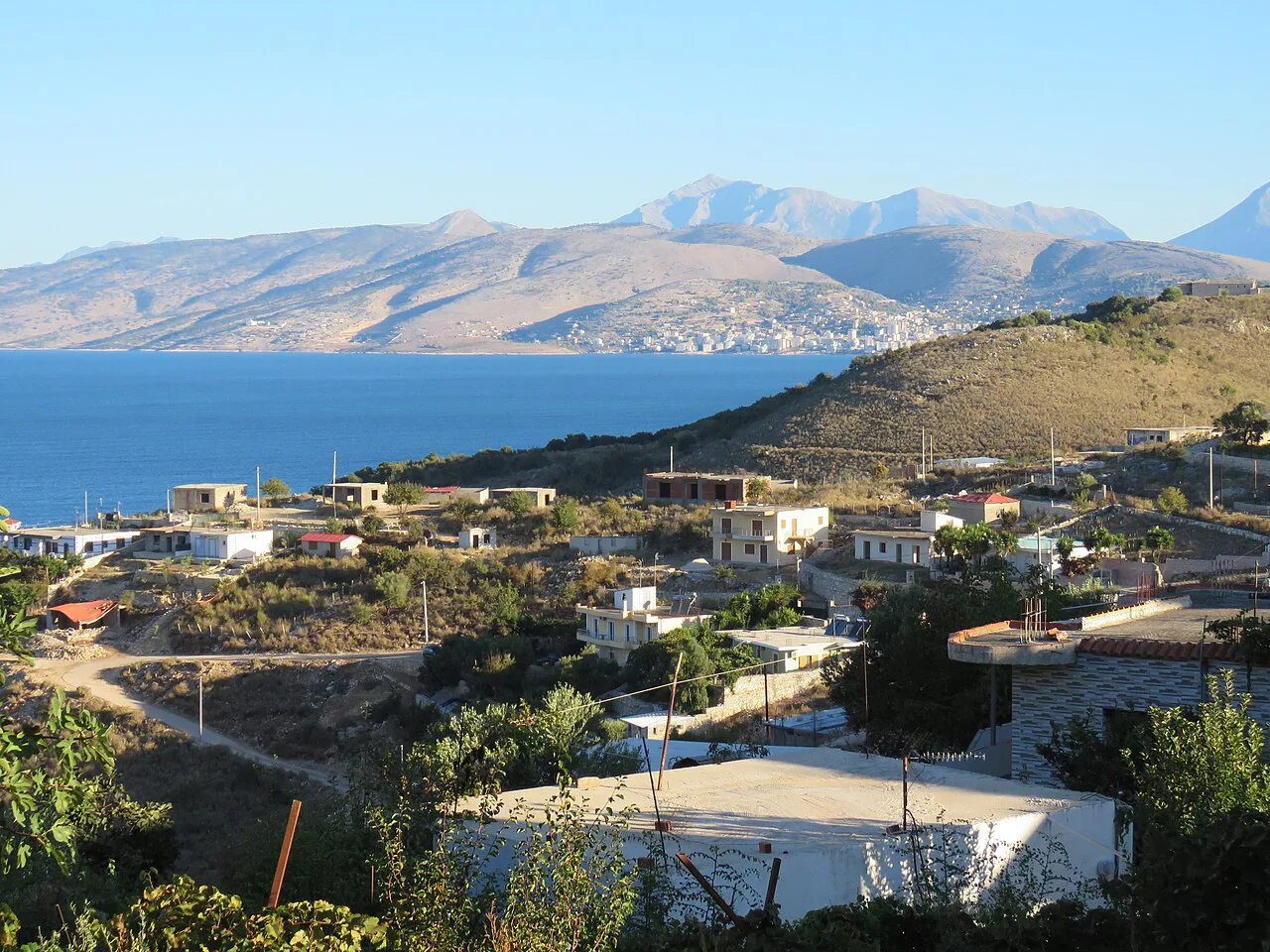
Saranda lies on the Ionian coast in southern Albania. The town itself is compact: the seafront runs along the gulf, and the streets behind it rise towards the hills. Most of what a visitor wants sits within that band between water and slope.
Because the town is small, a map of Saranda is more about orientation than navigation. You are not memorising a maze of quarters; you are working out which way to turn when you step out of the bus or off the boat. Once the seafront is fixed in your mind, the rest is largely a matter of walking uphill or downhill from it.
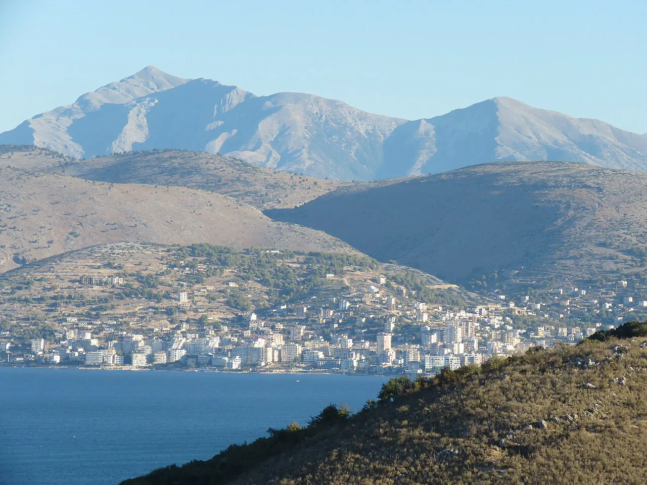
How the seafront, town centre and hillside relate to each other
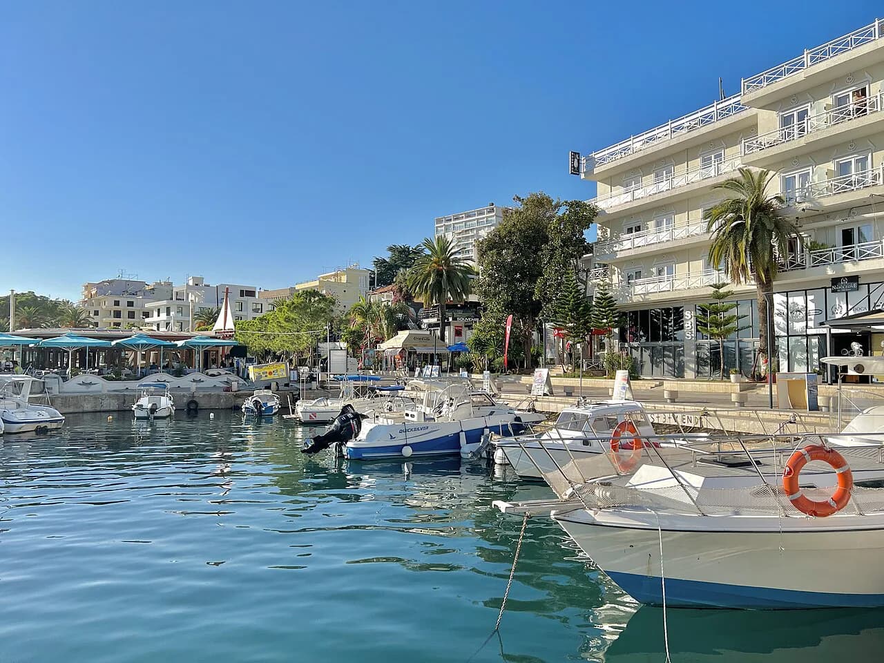
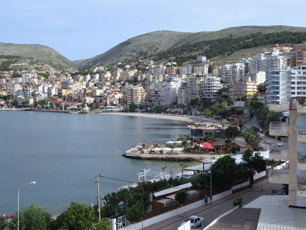
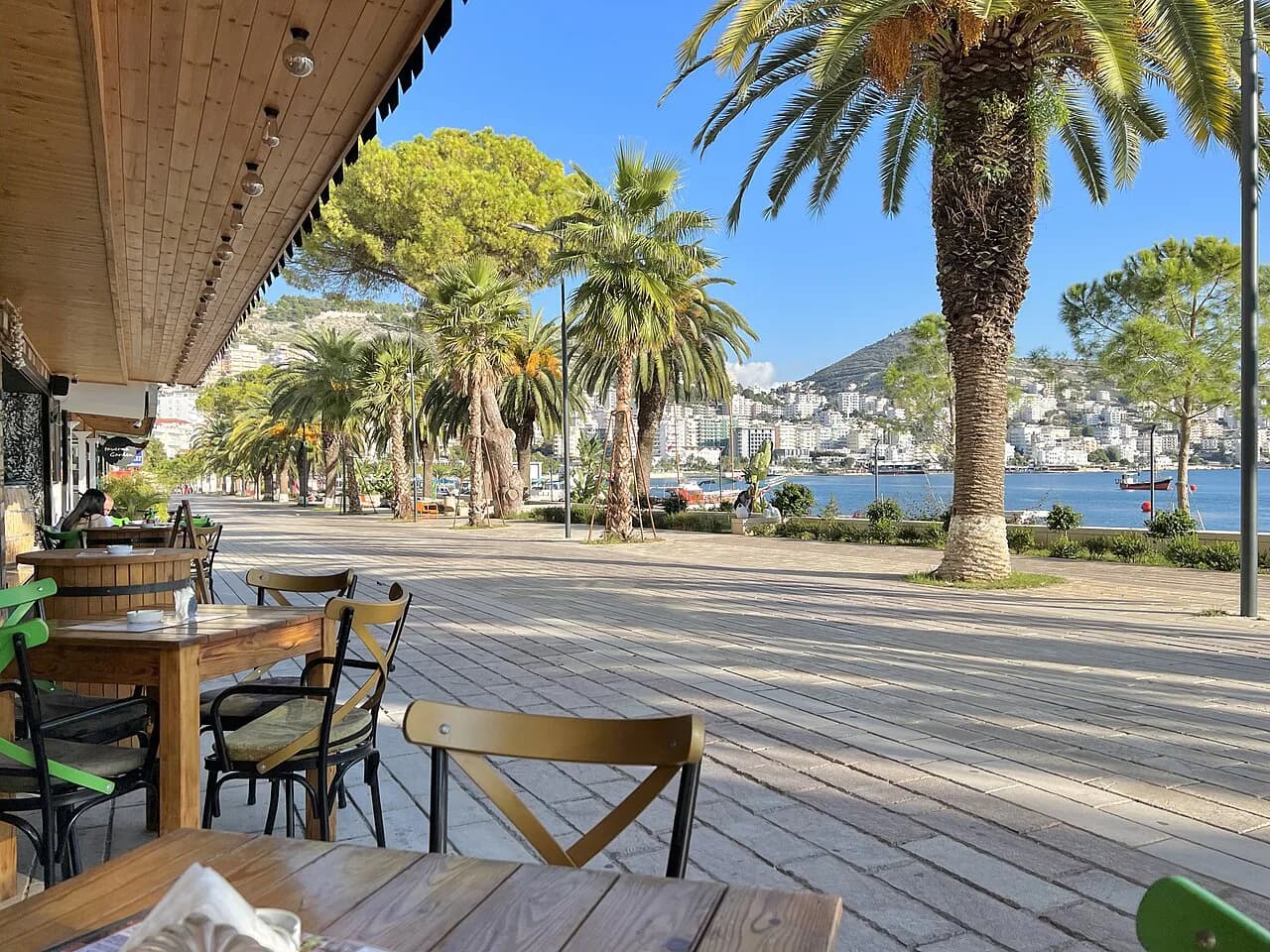
The waterfront is the easiest line to follow in Saranda, because it is the simplest to find again if you wander inland. The Saranda Promenade gives you a single continuous line along the water, so treat it as your baseline. From there, pick a direction inland and expect to walk uphill on the way back.
The waterfront is the natural place to start a day in town, because it is the easiest line to follow and the easiest to find again if you wander inland. The Saranda promenade gives you a single continuous line along the water, so treat it as your baseline. From there, pick a direction inland and accept that you will be walking uphill on the way back.
Before you choose a route, think about the gradient: a street that looks short on a flat map can climb sharply. Where you can, check the elevation of your intended finish point and allow more time for the return leg uphill.
Which areas the town's own visitor map highlights
Saranda's tourism site publishes a digital map of the town, downloadable from its map page. That is the version to start with, because it is built around what a visitor is looking for rather than around through-traffic. Use it to get the town's own shape in your head before you add a generic map app.
The same site groups its content under headings that mirror how you will actually move around: unique sites, food, self-guided tours, events, accommodation, essentials, how to reach Saranda and getting around. Those groupings are a decent checklist for planning a day. If you are mapping out your hours in town, the Things to Do in Saranda guide is a good place to start plotting stops.
Getting around Saranda on foot using a map
Walking is the default in Saranda. The seafront is a single continuous line, so you can follow it end to end and always know where you are relative to the water. Plan loops rather than out-and-back walks: head inland on one street and return along another, and the uphill section happens once.
Before you set off, mark two or three fixed points on your map: your accommodation, the waterfront, and wherever you intend to finish. With those pinned, you can wander the streets behind the seafront without worrying about the route back. Check the map at each turn rather than following a line blindly, because side streets can look alike.
If you want a day with no spending, a map helps you plan a route that stays on foot and skips paid entries. You can put together a full day of free things to do by marking your stops first and walking between them.
Using the Saranda digital map before and during your visit
Download the town map before you travel, while you still have reliable home Wi-Fi. Open it once on your phone so the file is cached, then check that the seafront and the town centre are both visible at the zoom level you will use. That few minutes of preparation saves you standing on a corner squinting at a screen.
During the day, use the map to answer one question at a time. Where is the water from here? Which street leads back to the seafront? Am I above or below the town centre? That narrow use keeps your head up and your walk simple.
What a printed or PDF map is useful for, and what a phone map does better
A printed or downloaded PDF map earns its place for planning, not for navigating. Spread it out before your trip to work out where you will base yourself within the town and which end of the seafront you want to start from. It also survives a flat battery, which a phone map does not.
A phone map wins on the ground. It shows your position as you walk, so you can tell whether a street is taking you towards the water or away from it. The trade-off is dependence on battery and signal, so carry a power bank if you plan to navigate by phone all day. If you intend a Saranda boat tour, use the phone map to find the departure point in advance rather than guessing on the morning.
How to link the town map with maps of places you plan to visit nearby
The town map only covers the town. Built into its structure are sections on getting around Saranda and reaching nearby places, which is where you check how the map connects to the rest of the coast. Use those sections to identify which direction your next stop lies before you zoom out.
When you zoom out, look at the coastline rather than the roads. Saranda's position on the gulf means onward travel tends to follow the shore in one direction or the other. Mark your next two stops on the same map before you leave, and the relative distances will show you whether they belong in the same half-day.
Build your route from the water out
Start every route from the seafront, then work inland and uphill, and you will always have a simple line back. Keep the town's own digital map for planning and a phone map for the walk itself, and pin your start and finish before you leave.
If you want to eat near the water after a loop through the streets, the best restaurants list helps you pick a stop to add to the map. Check opening and departure details for anything you plan to book the day before you go.
Explore more Saranda guides
Frequently Asked Questions
Where is Saranda in Albania?
Saranda sits on an open gulf of the Ionian Sea in southern Albania, in the Mediterranean. The town is compact and arranged around the water, with the seafront along the gulf and streets rising inland behind it.
Can you walk around Saranda using just a map?
The waterfront works as your main line and you can loop inland and back. Pin your accommodation and the seafront on a phone map, then take side streets knowing the water is your reference point, and allow more time for uphill legs.
Sources
Notes for your Albania trip
Optional updates to our Albania town guides.
You might also like
Continue reading
More guides you'll find useful