Saranda History: The Sites That Show It
Saranda's history runs from ancient Onchesmos and its synagogue ruins to Ottoman Lëkurësi Castle and the communist border years, with Butrint a short trip south.
On this page
Saranda's history comes down to three things a visitor can still see: a Byzantine port called Onchesmos, an Ottoman market town, and a modern coastal city looking across the water to Corfu. The early-Christian thread is thin but genuine, running through the synagogue ruins in the centre and the Forty Saints name the town still carries. This guide ties each period to a specific place and sets out how long each one takes.
Allow half a day for the town's own remains and a separate half day for Butrint, which sits outside the centre rather than within it. The synagogue site is central and quick to see; Lëkurësi Castle costs you a hill; Butrint rewards a slow circuit. Work out the geography on a Saranda map before you commit, because the slopes above the bay change how long the walk back takes.
The name: Ágios Sarándas and the Monastery of the Forty Saints
The Greek name Ágios Sarándas means forty Saints, and the town's origin is tied to the Monastery of the Forty Saints on the hill above the city. The municipality traces Saranda's beginnings to this 6th-century monastery, which also gave the place its Italian-era name Santi Quaranta. The ruins of the church can still be visited on foot, which makes it the one early site where the town's name and its history meet.
The climb is a hike rather than a stroll, so treat it as a morning or late-afternoon outing rather than something to slot between two other stops. Views over the bay are the reward for the ascent, and the route is best done in cooler hours.
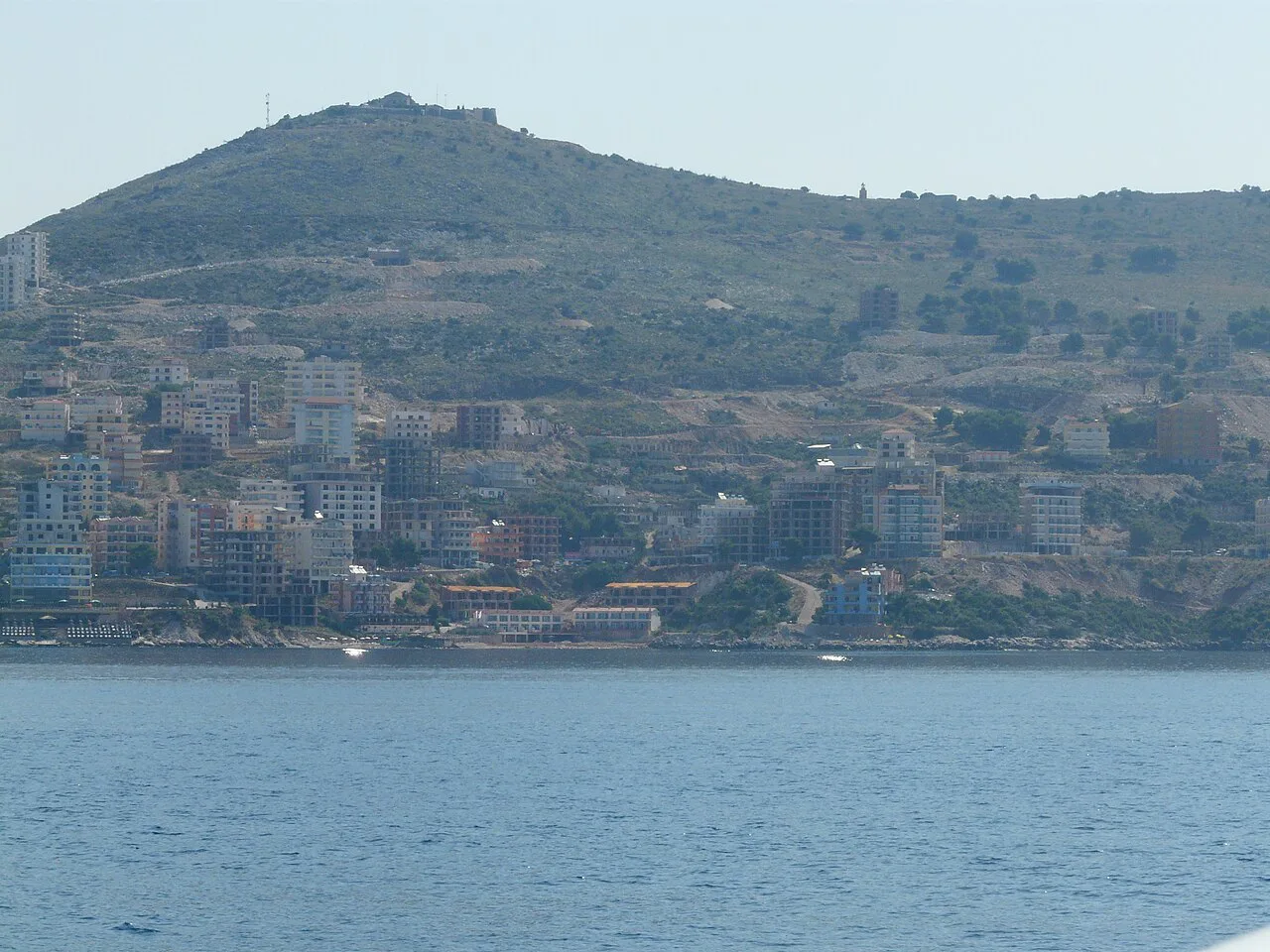
Ancient Onchesmos: where the ruins sit in the modern city
Saranda's ancient settlement was Onchesmos, a port of Epirus, and archaeological remains survive within the built-up city rather than in a fenced park outside it. The Roman and late-antique layers sit under and beside the streets you walk on the way down to the water, so the historical sightseeing happens on an ordinary city walk. That makes the centre easy to cover, but it also means there is no single compact archaeological zone to buy a ticket for.
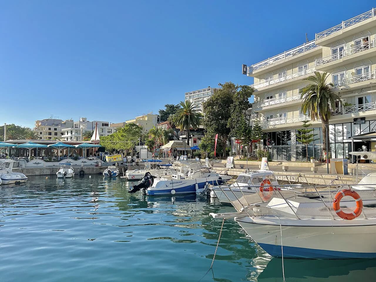
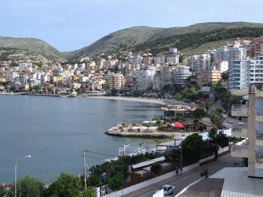
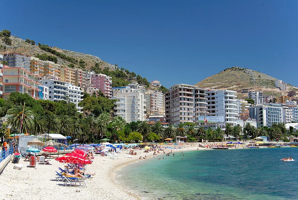
Start on foot from the seafront and work uphill through the streets behind it, keeping an eye out for excavated fragments rather than expecting signposted routes. The bay itself is the constant: the Ionian Sea in front, Corfu visible across the strait, which explains why a port grew here at all.
The Ancient Synagogue Complex: a 5th-century building rebuilt as a basilica
The Ancient Synagogue Complex sits centrally, near the town hall, and began as a building of the 5th century that housed a school, a community centre and religious facilities. After an earthquake destroyed it, the synagogue was rebuilt as a basilica in the 6th century. Floor mosaic fragments and menorah carvings are visible at the excavation, which makes this the town's most tangible late-antique survival.
It takes minutes rather than hours, so pair it with the waterfront walk rather than making it a trip of its own. Because it is an open excavated site in the middle of town, there is no visitor centre shaping the experience; read up before you go so the masonry makes sense.
Byzantine port and Ottoman town: what the record shows
After the Byzantine port, Saranda became an Ottoman market town, and the physical evidence of that centuries-long phase is patchy in the centre. The most legible Ottoman structure in the area is the castle on the hill, not a bazaar quarter or a surviving mosque complex in the town itself. Plan your time around what stands rather than around a timeline, and use our Things to Do in Saranda guide to pick out the individual sites.
For the feel of the Ottoman centuries in stone, Gjirokastër is the better day out, 55 km away by a road the municipality describes as not in good condition. A coastal day trip south towards Butrint is the easier choice if you want depth without a long drive.
Lëkurësi Castle: a 16th-century Ottoman fort on the hill
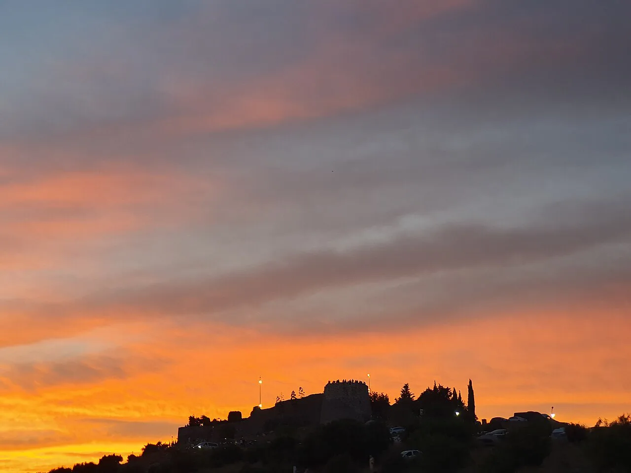
Lëkurësi Castle was built in the early 16th century by Sultan Suleymani on the hill above Sarandë, with a direct view of the town, the Ksamil islands and Corfu. It sits 2–3 km from the centre and was originally built to protect the town from invaders arriving by boat. The walls and the panorama are the point; a restaurant now occupies part of the site.
Getting up is the trade-off. Walking takes roughly 30–45 minutes on a road in poor condition, or you take a taxi, and fares charged to visitors run higher than local rates. If you go for sunset, arrange the return journey before you set off, because the hill empties quickly once the light goes.
The communist years: a fortified coast facing Corfu
Under Enver Hoxha's dictatorship the coast here held one of Albania's most heavily fortified borders, with Corfu visible just offshore across the strait. That geography shaped how the town was watched and garrisoned, and it explains the military traces in the surrounding hills rather than anything you will find signposted in the centre. Walk the bay with that in mind and the landscape reads differently.
The concrete blocks and later hotel development sit alongside older fragments, so the modern town is a mixture rather than a preserved core. Do not expect a dedicated museum of the period in Saranda; the border story is context for the geography, not an exhibit.
Butrint: the layered site 15 minutes away
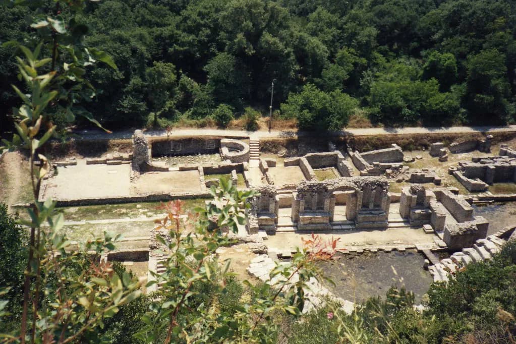
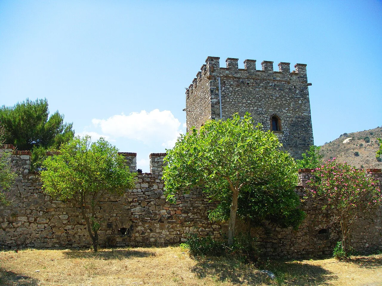
Butrint is a UNESCO World Heritage site a short drive south of the city, reached by a rehabilitated two-lane road through Ksamil. The ruins compress a Greek theatre, Roman baths and forum, a 6th-century basilica with mosaic floors, a Venetian castle and Ottoman fortifications onto one promontory. Ali Pasha's Palace, an early 19th-century fortified lodge, stands at the lagoon entrance within the same site.
A marked circuit of about 4 km links the main monuments, and it is the one place near Saranda where you can read successive civilisations in a single walk. Give it a half day rather than an afternoon squeezed around a beach, because the site rewards slow going and shade is limited. Opening times and ticket terms for the park change by season, so look them up before you travel.
How to see it in half a day
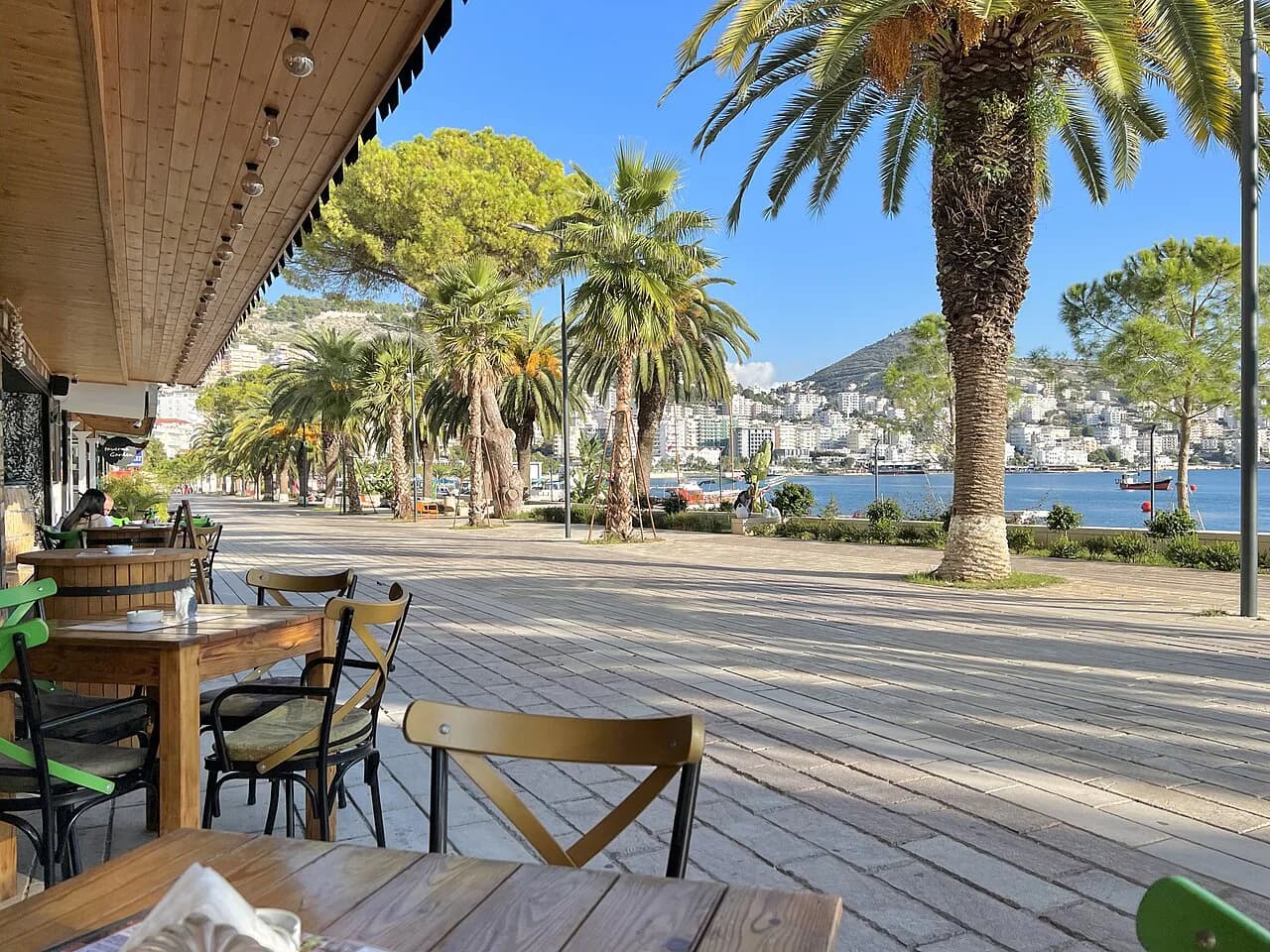
With half a day, do the town first: the synagogue ruins near the town hall, a walk down to the waterfront along Hasan Tahsini Boulevard, then the climb to the Forty Saints ruins if you have the legs for it. That sequence keeps you on foot and needs no transport. Spend the time on Butrint instead if you would rather see deep archaeology than a broad sweep.
For a full day, take Butrint in the morning when the circuit is cooler, then use the afternoon for Lëkurësi and its view over the strait. The town's own remains fill an hour or two at most, so they fit around either plan. A Saranda itinerary built this way avoids backtracking across the bay.
If you would rather have someone else handle the driving and the chronology, a Saranda boat tour or guided excursion can cover the coast and the archaeological stops in one booking. Compare what is included before you commit, since transport and site time vary between operators.
Where Saranda's history is thin
Expect a working coastal town rather than a museum city. The excavated synagogue is an open site in the centre, the Ottoman phase survives above all in the castle, and the strongest archaeology lies outside town at Butrint. That unevenness is the honest picture, and knowing it saves you from hunting for a historic quarter that is not there.
Build the day around one or two named sites and leave room to wander the grid of streets behind the seafront, where the older layers sit under modern blocks. Sightseeing here is a matter of reading fragments in place, not following a trail.
Castle view or Butrint's ruins?
Choose Lëkurësi if you want a short, high outing with the bay and Corfu laid out below you, and accept the rough road and the taxi negotiation as part of it. Choose Butrint if you want the substance: theatre, basilica, castle and lagoon in one 4 km circuit, and a half day well spent. With a full day, do both, Butrint first.
Either way, check opening times and any site fees for Butrint National Park before setting out, since these change by season. The town's own ruins need no planning at all and fit around whichever you pick.
Explore more Saranda guides
Frequently Asked Questions
Where is Saranda, Albania?
Saranda sits on an open bay of the Ionian Sea in southern Albania, facing the Greek island of Corfu across the strait. It is the base for Butrint and Ksamil, which lie south of the city rather than inside it.
Was Saranda once called Onchesmos?
Yes. The ancient settlement was Onchesmos, a port of Epirus, and archaeological remains from that period survive within the modern city rather than in a separate park outside it.
Sources
Notes for your Albania trip
Optional updates to our Albania town guides.
You might also like
Continue reading
More guides you'll find useful