Mount Tomorr: How to Visit Albania's Sacred Mountain
Mount Tomorr in southern Albania: the two summits, the Bektashi tekke, how to drive or hike up, how long it takes, and the Berat and Skrapar approaches.
On this page
Mount Tomorr is a mountain in southern Albania split between Berat and Skrapar, climbed for its high shrine, its ridge and its summit views. Most visitors see it as a half-day drive from Berat; reaching the top on foot is a separate, much harder commitment. This guide sets out the two summits, the road and trail approaches, the Bektashi tekke, the late-August pilgrimage and what to pair with the trip in Berat and Skrapar.
Where Mount Tomorr is and how tall it is
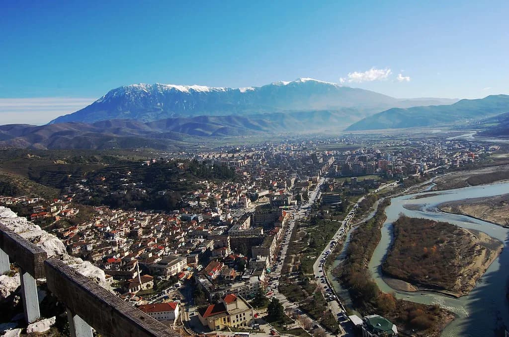
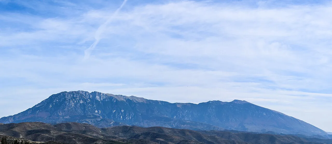
Mount Tomorr spreads across the districts of Berat and Skrapar, which is why the drive in from Berat and the approach from the Skrapar side feel like two different mountains. Its highest point is Çuka e Partizanit, given as 2,416 metres. Locals call the mountain Baba Tomorri, a personified old man in Albanian folklore.
The whole massif falls inside Tomorr National Park, which the same source describes as covering more than 24,000 hectares of protected land. That scale matters when you plan: the road heads and the trailheads are far apart, and the weather can differ sharply between the Berat side and the Skrapar side on the same day.
The two summits and the ridge between them
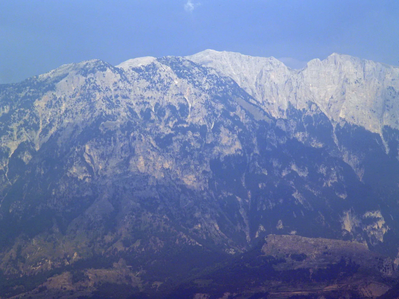
Tomorr has a south summit and a higher north summit, and they are not the same destination. The south summit, also called Mali i Kurbanit or Mali i Babait, carries the shrine. The north summit is Çuka Partizan, and the two are separated by a ridge roughly 10 kilometres long; that ridge is difficult, and the recommended way up Çuka Partizan is from the north side.
Numbers for the south summit vary between walkers: one recorded track puts it at 2,379 metres, a little lower than the northern top. Treat the figures as close approximations rather than survey data and plan your day around the higher north summit if summiting is the goal.
Driving up from Berat and the Skrapar approach
The practical way to see the shrine without a long walk is a 4x4 drive. Albania Rafting Group runs its summit trip from Berat's Castle Park, driving about 45 minutes to Pronovik village before continuing off-road, with the whole mountain section described as roughly 1.5 hours of off-road driving. The road up can be rough, so a low-clearance car is the wrong choice.
From the Skrapar side, a scenic off-road route runs from the SH72 road near Poliçan towards the mountain. It is a route in its own right rather than a shortcut to Berat: the tracks between villages in different regions can be poor, overgrown and narrow, and the Visit Albania account of the Gramsh–Sotire–Dardhë line warns that a little rain can stop a vehicle.
Hiking to the summit: distance, climb and time
The walking route to Çuka Partizan starts from a trailhead above the villages and gains more than 1,450 metres over about 8 kilometres one way, crossing steep gravel and talus. Visit Albania rates it difficult and gives 5.5 hours for the ascent. That is a full mountain day, not an afternoon add-on to a Berat city break.
Guided versions stack the effort differently. Albania Rafting Group's itinerary uses horses for about two and a half hours, then walks three and a half hours to the top, with six hours up and five hours back and at least 15 hours for the whole trip from Berat. Albania Rafting Group states plainly that participants need to be fit and in excellent health for this kind of hike.
The Bektashi tekke and the Abbas Ali shrine
The tekke of Abbas Ali sits high on the mountain, at around 2,000 metres according to Elite Travel Albania, and is described as welcoming visitors year-round. On the Albania Rafting route the stops include the Bektashi tekke and the tomb of Abbas Ali, near the highest point, plus a small house-museum where you can learn about the Bektashi religion.
This is an active place of worship as well as a viewpoint, so dress and behave as you would at any shrine: quiet voices, no intrusive photography during prayer, and ask before entering. The Albania Rafting trip description also mentions the print of Abbas Ali's footprint as an early stop on the drive up.
The late-August pilgrimage
Every year in late August, thousands of Bektashi pilgrims climb to the sacred summit to honour Abbas Ali, a Holy figure said in tradition to have flown to the mountain on a white horse. If you are on the mountain then, expect crowds on the road and the upper paths, and treat the pilgrimage as the main event rather than background.
Those who join only for the spectacle should still follow the shrine's etiquette, keep vehicles clear of the walking line and carry water, since the altitude and the gravel make the last stretch slow for everyone.
What you see from the top and what to bring
From the high ground you get a wide view across the mountain and, on a clear day, the route description claims a view as far as the shores of Bari in Italy. The climb passes patches of snow that Albania Rafting Group says never melts. Wildlife is part of the appeal: the national park shelters brown bears, wolves and eagles, and the guided trips mention wild mountain goats.
Pack for cold, exposed ground even in summer: the Albania Rafting kit list asks for hiking shoes, sun cream, sunglasses, a hat and a camera, and its staff carry first-aid equipment and water on the guided trip.
How long to allow: half day by road, full day on foot
For the shrine and the high road, budget a half day from Berat: the drive to Pronovik takes about 45 minutes and the off-road section about an hour and a half each way, before you add time at the tekke. Anyone attempting Çuka Partizan on foot needs a full day and an early start; the guided version leaves at 5am and runs 15 hours or more.
If you want a formal tour rather than self-driving, Albania Rafting Group lists its summit trip at 100.00€ per person, operating from April to November. That is Albania Rafting Group's tour price, not an entry fee for the mountain, and it includes a guide, 4x4 transport, horse riding and a picnic.
Nearby: pairing Tomorr with Berat and Skrapar
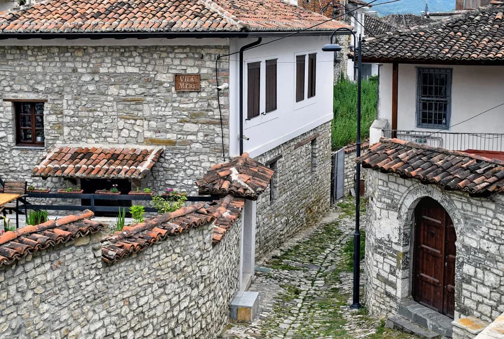
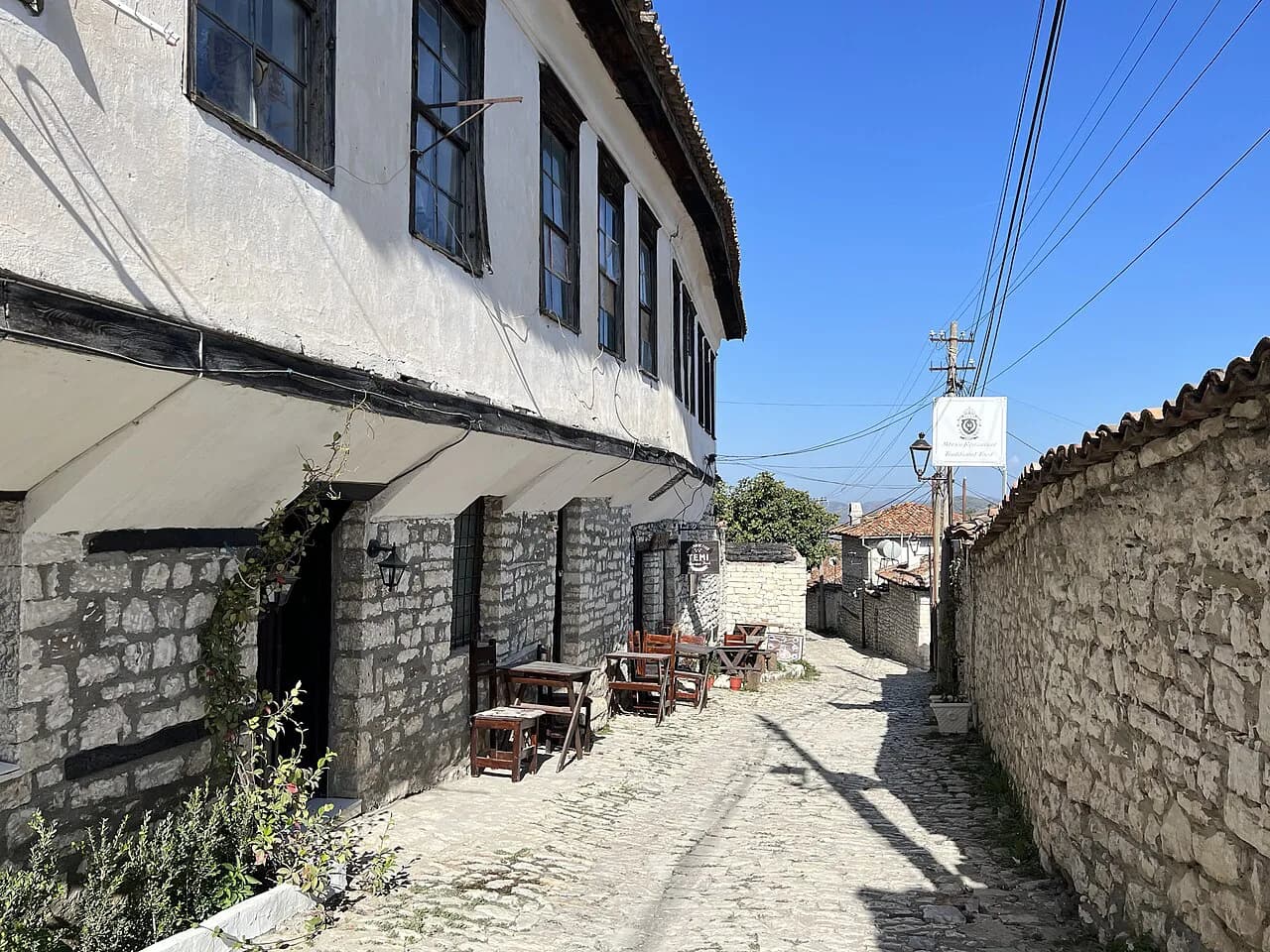
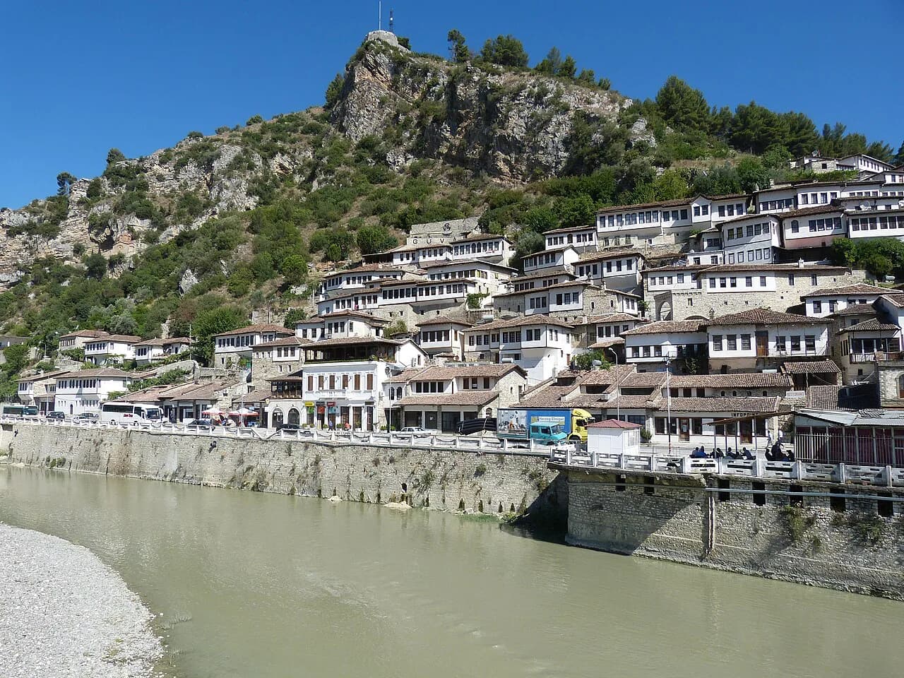
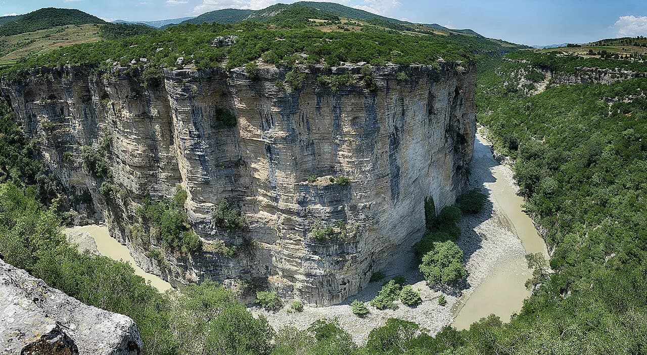
Berat is the natural base, and its castle quarter, mosques and Ottoman houses fill the day you are not on the mountain. The Osumi Canyon cuts through the same region and works well as a second day, whether you walk the rim or take to the water on an Osumi Canyon rafting trip.
On the Skrapar side, the Bogovë Waterfall and the small town of Çorovodë make a sensible loop back towards Berat, with the cave systems and canyons around Skrapar adding another half day if you have the time.
Should you drive or climb Tomorr?
Drive if you mainly want the tekke, the Abbas Ali shrine and the high views: a 4x4 from Berat does it in half a day and leaves the afternoon for the city. Climb only if you are fit, prepared for a long day and willing to start before dawn.
Either way, confirm the tour departure and vehicle arrangement directly with Albania Rafting Group before you travel, and keep a spare day in Berat so a change of plan does not cost you the rest of the trip.
Frequently Asked Questions
Can you drive up Mount Tomorr?
Yes, most of the way, by 4x4. Guided trips from Berat drive about 45 minutes to Pronovik and then continue off-road for roughly an hour and a half towards the tekke and the shrine. The surface is rough, so a standard car is not the right vehicle.
What is the weather like on Mount Tomorr?
It is a high mountain and the summit area is cold and exposed, with patches of snow the operator describes as permanent. Cloud can hide the top even when Berat is clear. Check conditions with your operator or a local forecast on the day.
Sources
Notes for your Albania trip
Optional updates to our Albania town guides.
You might also like
Continue reading
More guides you'll find useful