Elbasan Map: Finding the Old Town, Castle and Bus Station
An Elbasan map is a planning tool: it locates the town in Albania, fixes the old town and castle, and shows street distances before you travel.
On this page
An Elbasan map tells you where the town sits, how the streets run and roughly how far apart the old town and the castle are; it does not tell you opening hours, ticket prices or whether a street is closed. Use it for orientation and for judging walking distances, then confirm anything time-sensitive on the day. This guide covers the Elbasan map itself and how to use it.
What an Elbasan map shows you and what it leaves out
A general Elbasan map gives you the shape of the town, the main roads and a scale you can measure distances against. Map collections like this one also offer satellite views, so you can see how dense the streets are before you commit to walking. What a map cannot show is what is happening on the ground today.
Printed maps and static downloads go out of date; road layouts rarely change, but traffic, road works and temporary closures do. Treat the map as a picture of the fixed city, not a live report. The sections below explain how to read it and how to check its live counterpart.
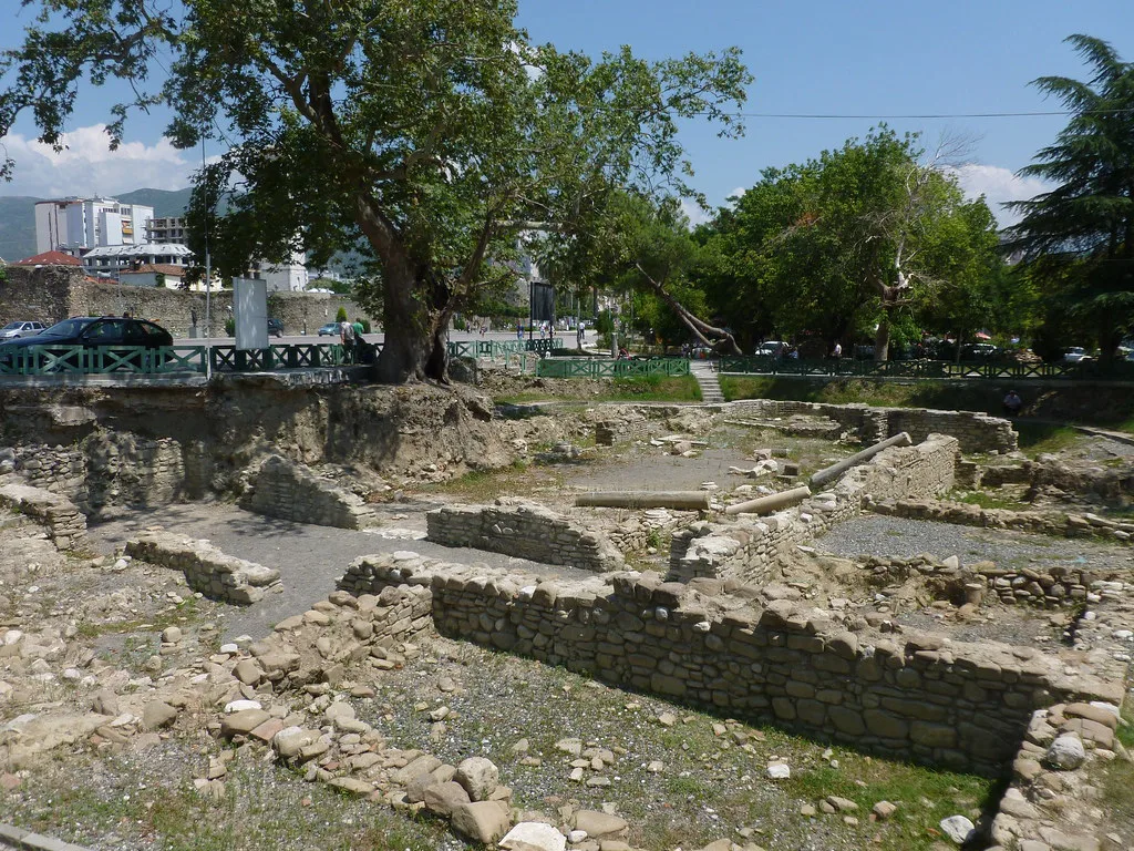
Where Elbasan sits on a map of Albania
Elbasan lies in central Albania, and a map locating it gives you the town's coordinates and its place on the road network. Pin the coordinates into a live map if you want to see how the streets connect. That way you get the fixed position and the current traffic picture in one view.
Zooming out from an Elbasan map shows the town's relationship to the rest of the country, which is useful when planning a route rather than a single walk. Once you know where the town sits, zoom back in and fix the old town and castle before you look at anything else.
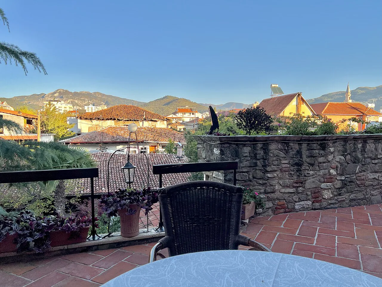
Orienting yourself: the old town, castle and main streets
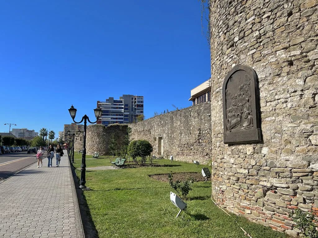
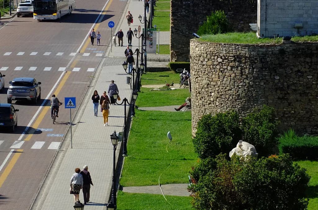
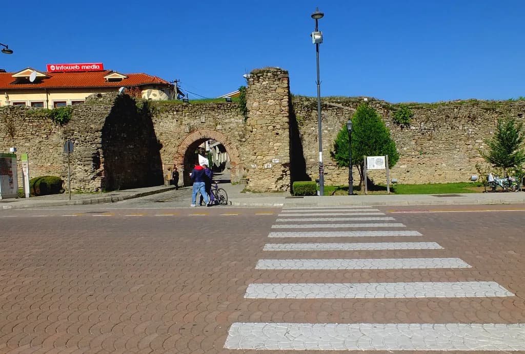
The old town and the castle are the two anchors for any visit, so find them on the map first. On a city map the castle appears as the walled enclosure within the historic quarter; use the street names around it to work out where you will enter and which direction you are facing. See the Elbasan Castle guide for what the site itself involves, and the Elbasan: Albania's Fortress City on the Shkumbin guide for the town around it.
The grid of streets around the old town is compact, and a city map shows how the roads radiate from the centre. Pick two or three landmarks you care about and trace the streets between them. This tells you whether a route is direct or loops around, which matters more than raw distance in a grid.
The Elbasan old town is where the historic fabric is concentrated, and the map should make the boundary between the old quarter and the wider city clear. Read the street names carefully: a road that looks like a straight line on the map may cross the river or a main artery, which changes the walk.
Lines on the map that matter most for a short visit
On a short stay, the lines that matter are the ones that carry you into the old town and around the castle, not every side street. Mark the main approach road, the point where you leave it for the castle, and the route back to the bus station or car park. That trio is your skeleton plan; the map supplies the detail.
A numbered city map can be misleading if it shows every minor lane with equal weight. Ignore the loops that do not touch your chosen landmarks. For the visit itself the local street grid matters more than any historic route through the region, so keep your attention on the streets you will actually walk.
Reading distances and walking times off the map
Use the map's scale bar to measure a route, then double the straight-line time for streets that twist or cross obstructions. A printed map gives you the distance; the doubling is your estimate of how long it will take. If the map lacks a scale, compare the route to a known street length on the same sheet.
Walking times are a planning aid, not a promise, because pace, heat and stops change the reality. Measure the longest leg of your plan first; if it looks more than comfortable, cut a landmark rather than rush. Keep one short leg at the end so you are not far from transport when you finish.
If your map shows public transport stops, note the one nearest the old town before you arrive. A stop marked on a map is a fixed point; whether the service runs to the timetable you expect is not something the map can tell you. Check that on the ground.
Checking your map against live conditions before you set off
Before you walk, find the old town on a town map with hotels, tourist sites and restaurants marked, so you can see what lies near your route. This does not make your static plan current, but it puts services and landmarks in view. If you need live conditions, use a navigation app that reports them.
Live navigation is the counterpart to a printed map: the paper gives you the structure, the live layer gives you current conditions. Use both, and keep the coordinates handy in case you need to re-pin yourself. The map you check on the day will be more accurate than the one you printed at home.
Questions the map does not answer
A map will not tell you what is open, what a ticket costs or whether a museum is closed for renovation. Those facts change and must be confirmed on the ground or through official sources. If you need prices in lek, check at the entrance rather than relying on the map.
The map also will not tell you whether Elbasan suits your trip; that is a judgement for you. What it can do is show you the distances so you can decide how much time the town deserves. A map is a tool for planning, not a verdict.
What to mark on your map first
Start with the castle and the old town, measure one walking leg in each direction, then leave the rest of the streets until you arrive. A map with three marked anchors and a measured route is more useful than one crowded with every sight. Print it, pin the coordinates and check the live layer before you go.
Explore more Elbasan guides
Frequently Asked Questions
Do I need a paper map for Elbasan?
Not necessarily. A downloaded map on your phone covers the same streets, but a printed copy is useful as a backup where signal is weak. What matters is that the map has a scale, so you can measure walking distances.
Can a map tell me if a street in Elbasan is closed?
No. A static map shows the street layout, not temporary closures or road works. Check a live traffic map on the day you travel to see current conditions.
Where do I find the castle on an Elbasan map?
The castle, Kalaja e Elbasanit, sits in the historic centre. Look for the old town area, then trace the streets inward from the main approach road. The exact entry point is best confirmed when you arrive.
Sources
Notes for your Albania trip
Optional updates to our Albania town guides.
You might also like
Continue reading
More guides you'll find useful