Via Egnatia in Albania: Route, Roman Sites and How to Visit
The Via Egnatia ran from Durrës across Albania towards Lake Ohrid and Thessalonica. Here is the route, the towns along it and the remains you can see today.
On this page
The Via Egnatia is the Roman road that ran east from Durrës, then Dyrrachium, across the Albanian interior towards Lake Ohrid, Thessalonica and Constantinople. In Albania you follow it through Peqin, Elbasan and the Shkumbin valley, with the hardest ground in the Candaviae mountains beyond Librazhd. This guide sets out what the road was, where its Albanian leg ran and how to see it by car, bus or on a guided walk.
Treat the ancient road and the modern road as two different things. In Kavaja, the entrance road from the north is still called Egnatia Road, a street name that preserves the memory of the corridor rather than an intact Roman lane. The sections below separate the buried and fragmentary line from the towns that grew along it.
What the Via Egnatia was and why it began at Durrës
The road was built by the Romans in the 2nd century BC as the eastern continuation of the Via Appia, linking Rome with the empire's eastern provinces. It crossed Illyricum, Macedonia and Thrace, the territory of modern Albania, North Macedonia, Greece and European Turkey. The start point was the Adriatic port of Dyrrachium, today's Durrës, directly opposite Brindisi where the Appian Way ended.
Construction is associated with Gnaeus Egnatius, governor of Macedonia, and the road took his name. Accounts differ on the date: one gives 145 BC, another 146 BC, so read it as Roman history rather than a fixed anniversary. The strategic purpose was practical: legions, supplies and trade goods could move from the Adriatic into the Balkans, and the route came equipped with paving, mile markers, stations for changing horses and inns.
The Albanian route: Durrës, the Shkumbin valley and the Candaviae mountains
From Durrës the road headed inland and followed the Genusus, the river now called the Shkumbin. It then climbed over the Candaviae mountains before reaching the highlands around Lake Ohrid, where it passed near ancient Lychnidos, the site of modern Ohrid. From there it turned south over several high mountain passes towards Thessalonica on the Aegean coast.
That geography explains why the Albanian leg is not a flat run between towns. The Shkumbin valley gives the road its corridor, and the Candaviae crossing is the hard part, which is why the route description calls the way from Durrës along the Shkumbin and over the mountains difficult. Treat the valley towns as the easy stops and the mountain crossing as the section that eats the time.
Where the road runs today: Kavaja's Egnatia Road and the Elbasan stretch
East of Kavaja lay the stretch known as the Highway of the Balkans, used from antiquity into the late Middle Ages. Kavaja sits only about 20 km north of Durrës, so it makes a sensible first stop east of the coast, and the town's northern approach still carries the name Egnatia Road. Look for the street name rather than expecting a signed Roman lane through the centre.
The most useful base for the inland leg is Elbasan, which holds the road's story together with the Shkumbin running through it. Our guide to Elbasan: Albania's Fortress City on the Shkumbin sets out the fortress city's layout and how the quarters fit around the river crossing. Start there before deciding which stretches of road you want to chase.
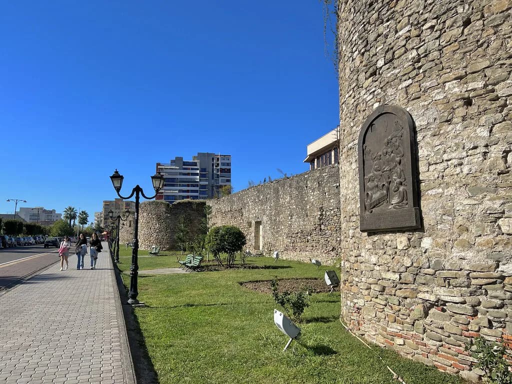
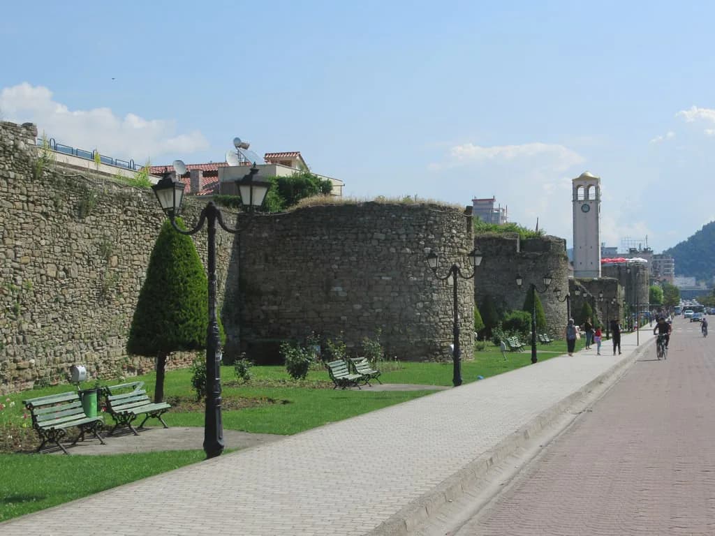
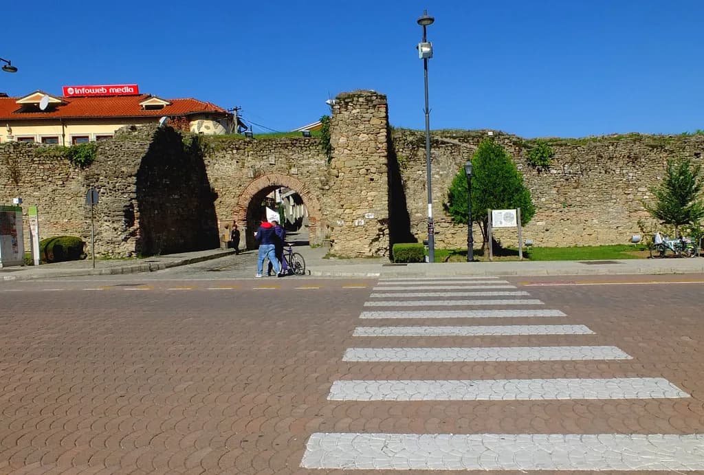
Inside the city, the walls and gates give the clearest sense of how a road town worked. The Elbasan Castle page explains the circuit of the Kalaja e Elbasanit and what survives of the fortifications, which is the right place to begin a morning on foot. From the walls you can walk down towards the Shkumbin River and pick up the town's main axis.
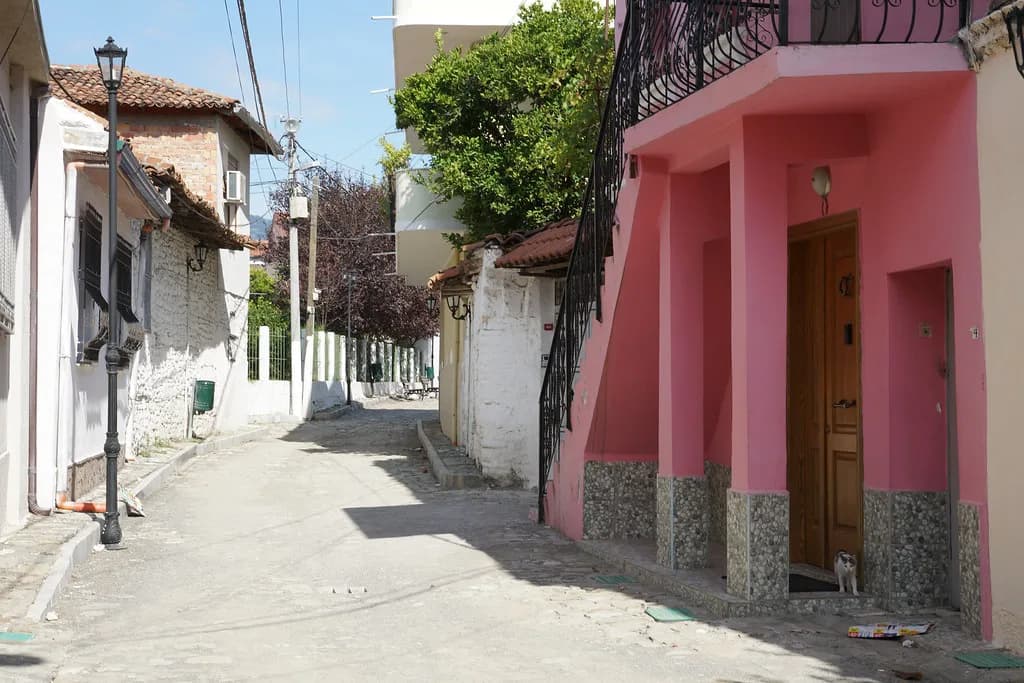
Allow time for the streets behind the castle rather than treating Elbasan as a petrol stop. The Elbasan old town pages cover the bazaar quarter and what sits within easy walking distance of the walls. A simple Elbasan map helps you see how the old town sits between the castle and the river before you commit to a route.
Durrës: the western end and what to see before setting off
Durrës is where the road begins, and the ancient port of Dyrrachium is the anchor for any eastward journey. The city also appears under its earlier name Epidamnos in tour itineraries, so you will see both names in listings. Give Durrës at least half a day before heading inland, because the coastal start and the inland leg pull in different directions.
A guided route that follows this line lists Durrës among its highlights alongside Fier, the site of ancient Apollonia, Peqin and Elbasan. In Strabo's description, the Egnatia Road was measured in miles from Apollonia, and the lines from Apollonia and Dyrrachium met at a point equidistant from the two cities. That is the detail that helps you make sense of the inland web of roads when you build your own itinerary.
Peqin (Clodiana) and Elbasan on the inland leg
Peqin, known in antiquity as Clodiana, sits on the road between Durrës and Elbasan and appears on guided itineraries as a stop on the inland leg. It is a short break rather than a destination in its own right, useful for breaking the drive and seeing how the corridor steps up the Shkumbin valley. Plan the day around Elbasan and treat Peqin as the pause on the way.
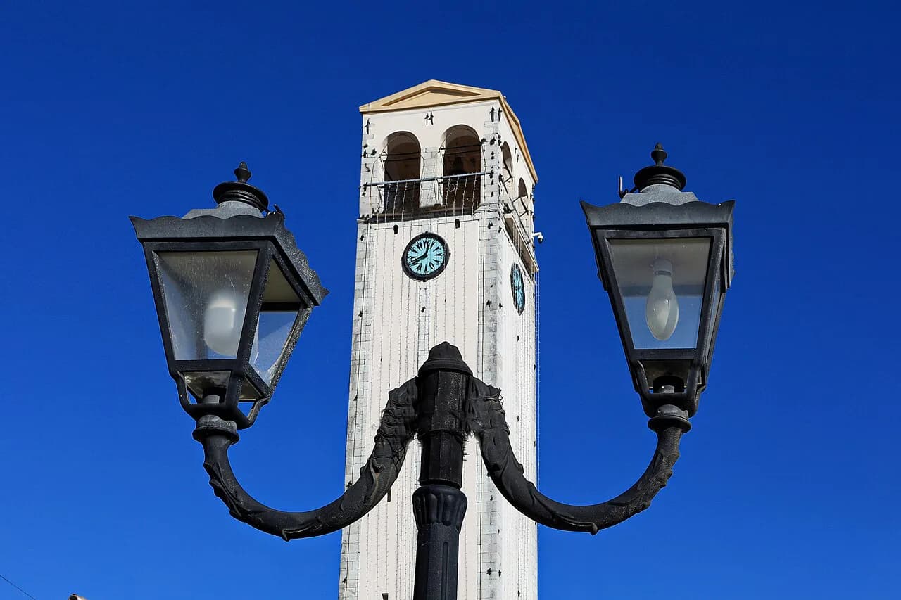
Elbasan rewards more time than the road alone suggests. Its clock tower, known locally as Kulla e Sahatit, is a simple landmark for orienting yourself in the centre, and the King mosque, or Xhamia Mbret, sits among the town's Ottoman buildings. Both are short stops that fit around a walk through the old quarter.
Build lunch into the plan rather than leaving it to chance. The best restaurants in Elbasan cover the local staples, and dishes such as Tave kosi give you a proper sit-down break between the castle and the river. Eating in town also keeps you off the road during the middle of the day.
The Perrenjas stretch into the Shebenik-Jabllanicë mountains
Beyond Elbasan the Shkumbin valley runs east towards the mountains. Further east, a guided itinerary runs on to Perrenjas, close to the North Macedonian border, where the ground rises into the Shebenik-Jabllanicë National Park; that is the section it treats as the mountainous close of the Albanian leg, where the driving slows. You can carry on beyond Perrenjas to Ohrid, Thessaloniki and Istanbul.
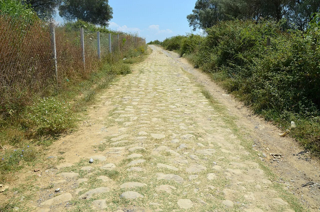
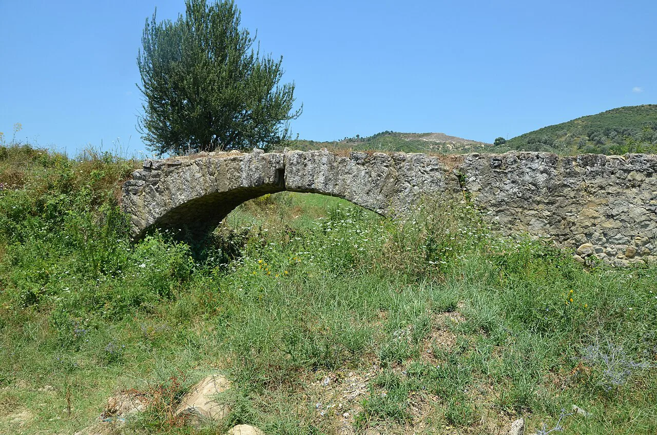
Surviving stretches of the old road are scattered rather than continuous, and parts of the old road have survived as short visible sections scattered across the countries it crossed. A footpath of the ancient Via Egnatia is listed near Perrenjas in the national park. Do not expect to walk a single intact Roman surface from Durrës to the border; pick one or two sections with a guide or local contact instead of chasing fragments along the whole valley.
Walking the Albanian section: guided route lengths, duration and terrain
Our Own Expeditions sells a guided Via Egnatia walk of 150 km from Durrës to Perrenjas near the North Macedonian border, within a total road it puts at some 1,000 km to Istanbul. It is graded easy with some uneven terrain, runs over six days and five nights, and includes five nights' sustainable accommodation, all meals and non-alcoholic drinks, an English-speaking guide, transport and entrance tickets. Flights, travel insurance and tips are excluded.
Our Own Expeditions describes the first part of the Via Egnatia Hiking Trail as ready and lists the tour as running all year round, so ask the company what both mean for the specific days you would walk. Group pricing is quoted on request, so request a written quote from Our Own Expeditions covering your dates and group size.
Doing it yourself by car or bus along the modern road
Driving gives you the most control over the valley stops, and the logical order is Durrës, Kavaja, Peqin, Elbasan and on towards Perrenjas. That sequence follows the Shkumbin corridor and keeps the mountain crossing at the end of the day rather than the middle. Public transport along the same corridor exists, but timetables and services change, so confirm times at the bus station in Elbasan or Durrës the day before you travel.
Walking the whole Albanian leg independently is a bigger proposition than the driving distance suggests. The old road survives as fragments and the modern corridor runs beside or over them, so a self-guided walk needs local advice on which sections are actually walkable. If you want a continuous line with logistics handled, the guided option is the simpler choice; if you want freedom, base yourself in Elbasan and make day trips.
Where the road goes next: Ohrid, Thessalonica and Istanbul
Past Perrenjas the route continues to Ohrid in North Macedonia, then south over the passes to Thessalonica in Greece and on through Thrace to Istanbul. The source for the ancient line gives a total of around 695 miles to Constantinople, so the Albanian section is the opening chapter rather than the whole story. Walkers who want to continue can ask Our Own Expeditions for tips on the onward legs.
Modern Greece has its own Egnatia Odos motorway running roughly parallel to the ancient road between Thessaloniki and the Turkish border. That is a useful reminder of how the corridor has been reused: the name persists on new infrastructure long after the paving has gone. Plan the Albanian leg as a standalone trip and treat the Greek and Turkish continuations as separate journeys.
Should you walk the Via Egnatia or drive it?
Drive if your priority is seeing the towns: Durrës, Kavaja, Peqin, Elbasan and Perrenjas fit into a run of a few days and let you stop where the fragments and museums are. Walk with a guide if you want the road itself underfoot and are happy to hand over the logistics of accommodation, meals and transfers. The 150 km Durrës to Perrenjas route is the practical middle ground.
Whichever you choose, build in a full day in Elbasan, because the castle, the old quarter and the Shkumbin crossing give the clearest picture of what a road town on this corridor looked like. Confirm bus times locally and ask the walking operator directly about trail readiness and group pricing before you commit.
Frequently Asked Questions
Where does the Via Egnatia start in Albania?
It starts at Durrës, the ancient Dyrrachium, on the Adriatic coast. That was the port opposite Brindisi, where the Via Appia ended, and the road ran east from there through the Shkumbin valley towards Lake Ohrid and Thessalonica.
Can you still see the Roman road in Albania?
Only in fragments. Parts of the old road have survived, and a footpath of the ancient route is listed near Perrenjas in the Shebenik-Jabllanicë National Park, but there is no continuous Roman surface to follow from Durrës to the border.
How long does the guided walk from Durrës to Perrenjas take?
Our Own Expeditions runs it over six days and five nights, covering 150 km, with an easy grading that notes some uneven terrain. Accommodation, meals, a guide, transport and entrance tickets are included; flights, insurance and tips are not.
Is the modern Egnatia Road in Kavaja the Roman road?
No. It is a street name that preserves the memory of the corridor; the Highway of the Balkans ran east of Kavaja in antiquity, and today's road is a modern approach into the town.
Sources
Notes for your Albania trip
Optional updates to our Albania town guides.
You might also like
Continue reading
More guides you'll find useful