Albanian Riviera Map: Where the Coast Runs and What Sits Where
The Albanian Riviera runs from Palasë to Lukovë along the Ionian coast. See where Sarandë, Ksamil, Himarë and Butrint sit and how the road links them.
On this page
The Albanian Riviera map is a strip of Ionian coastline running from the village of Palasë in the north to Lukovë in the south, a stretch of around 100 km that packs in Himarë, Sarandë and Ksamil along the way. Read it as a spine first and a set of spurs second: one coast road with inland detours at Butrint and the Blue Eye. This guide explains the coast's extent, the places in order from north to south, where the hubs sit and how to reach them.
Everything here stays on the level of layout and access rather than timetables, and where a ticket, opening hour or ferry schedule matters the map names the service to look up rather than pinning down times. That approach keeps the map useful without pretending a pin is a promise.
What the Albanian Riviera map covers, from Palasë to Lukovë
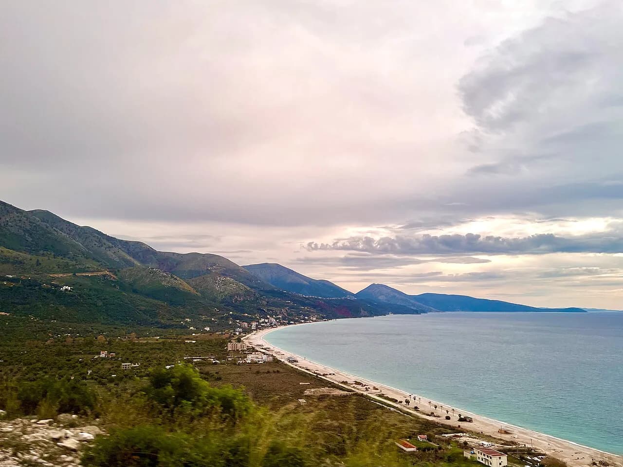
The Riviera, which Albanians call Bregu, is the south-western coast of the country, framed by the Ionian Sea and backed by the Ceraunian Mountains. Its northern limit sits at Palasë, near the Llogara Pass, and the coast runs south past Himarë and Sarandë before ending at Lukovë.
The coastline falls across the districts of Vlorë and Sarandë, which is why a single map can feel split between a wilder northern half and a busier southern cluster. Treat the district boundaries as useful context rather than borders you will notice on the ground.
The Ceraunian range does most of the map reading for you: the road, the beaches and the towns all hug the seaward side, with the mountains as the inland wall. Once you have that shape in your head, every other pin slots into place.
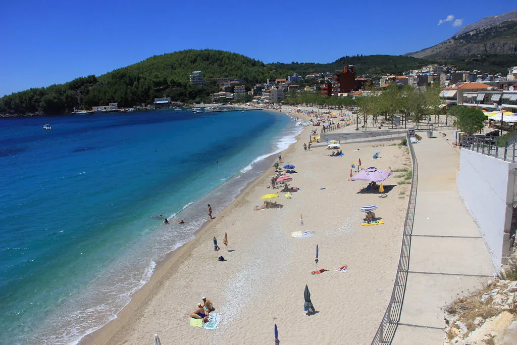
Reading the map north to south: Palasë, Dhermi, Jale, Livadi, Himarë
Start at Palasë, then follow the coast south through Dhermi, Jale and Livadi before reaching Himarë as the mid-coast reference point. Himarë sits roughly where the northern beach strip hands over to the southern run towards Sarandë, which makes it the natural place to split a map into two halves.
Most of the beaches between the main villages sit about five minutes down from the coast road, so a pin on the shoreline usually means a short detour rather than a separate journey. Some of these places are little more than a few buildings above the beach, while Himarë, Sarandë and Ksamil work as bases in their own right.
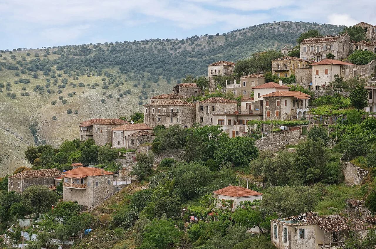
Between Himarë and Sarandë the map adds villages such as Qeparo and Borsh, each with a hill settlement above a beach, and these are the stretches where a simple north-south list starts to feel thin. Allow the road to dictate your stops rather than counting kilometres.
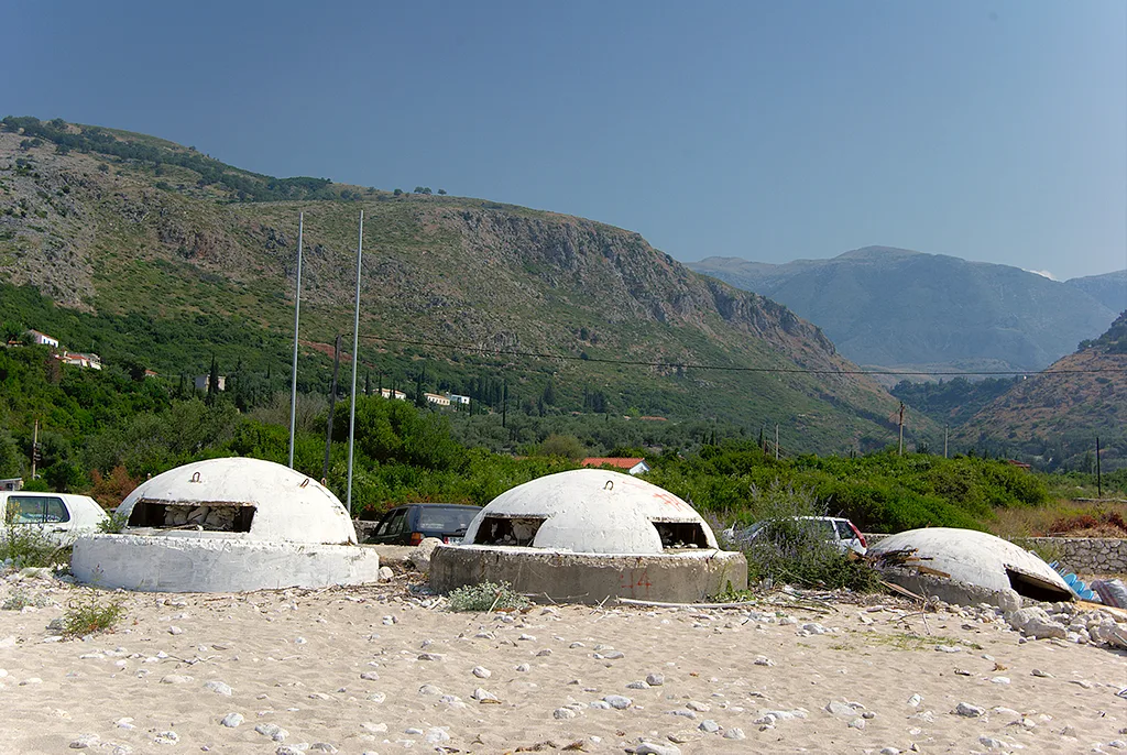
Where Butrint sits relative to Sarandë and Ksamil
Butrint National Park lies south of Sarandë, on a hill jutting into the sea with Corfu visible across the water, which puts it beyond Ksamil on a map read from north to south. Its position at the southern end makes it a natural final stop on a Riviera route rather than a place to bolt onto a Sarandë morning.
The site holds the remains of an acropolis, a theatre and mosaics, spread across ground that takes time to walk, so plan it as a half-day outing. It is a UNESCO World Heritage Site, and checking the park's own visitor information before you travel is the reliable way to confirm opening arrangements for your dates.
Where the Blue Eye falls on the map, inland from the southern coast
The Blue Eye, or Syri i Kaltër, is a spring in Blue Eye National Park, set inland from the southern coast rather than on the shoreline itself. On a map it reads as a spur off the Sarandë-to-Gjirokastër axis, which is why it pairs awkwardly with a beach day but comfortably with a drive into the interior.
The park is forested and holds several springs, with the Blue Eye the principal pool; divers have descended to 50 m in it without finding the bottom, and stones thrown in bubble back to the surface. Treat the visit as a short inland excursion and confirm access arrangements locally before setting out.
Porto Palermo Castle on the Himarë–Sarandë stretch
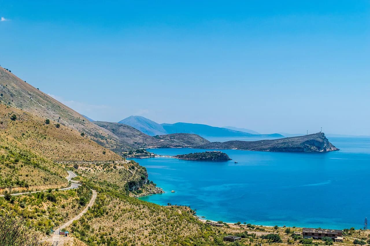
Porto Palermo Castle, known locally as Kalaja e Porto Palermos, sits on the coast road between Himarë and Sarandë, so it falls naturally into a southbound drive rather than needing its own day. It served as a former Soviet submarine base, which explains the sheltered bay and the scale of the enclosure.
Because it lies directly on the route, it makes a sensible mid-drive stop when you want to break the journey between the two hubs. The wider guide to Porto Palermo takes the site on its own terms if you want more than a roadside pause.
How the coast road links the towns and what the drive involves
The coast road is the map's spine, and on most of the Riviera stretch you travel at 40–60 km/h on good pavement, though slow trucks can force passes on curving sections. Coming over the mountains, the Llogara Pass is the gateway between the Vlorë side and the coast proper, and it sets the tone for the gradients ahead.
If you are driving down from Tirana, the run south to the Riviera takes around four to five hours and is an easier road trip than it once was. The upside is that Berat, Gjirokastër and other inland towns can be folded into the same journey, turning a transfer into a route.
Allow more time than the distance suggests: the beaches sit below the road, the towns spread along the shore and a day of short detours adds up. An Albanian Riviera itinerary helps here, because the order of stops matters more than raw kilometres.
Reaching the Riviera: Corfu ferry to Sarandë versus flying into Tirana
The simplest approach by sea is a flight to Corfu followed by a 30-minute ferry across to Sarandë, the southern hub and launch point for Ksamil and Butrint. Flying into Tirana is more flexible for wider trips, at the cost of the four-to-five-hour drive south, which can be broken at inland towns.
Choose Corfu if the southern coast is the whole point and you want the least fuss on arrival; choose Tirana if you want the map to include Berat or Gjirokastër. Neither route removes the need to check ferry sailing times and ticket arrangements with the ferry company for your travel dates, since both put you on the water at some stage.
Basing yourself: Sarandë, Ksamil and Himarë as the map's main hubs
Sarandë works as the southern gateway, Ksamil as the beach-focused base just down the coast and Himarë as the mid-coast anchor between the northern and southern stretches. Ksamil sits about 12 km south of Sarandë and is straightforward to reach by cab or bus.
Pick your hub by what you want the map to reach easily: Ksamil for the southern beaches and Butrint, Himarë for the middle coast and the road north towards Llogara. The Riviera guide covers the towns in more detail once you have chosen a base.
Which places on the map need a boat rather than a road
Some beaches on the Riviera are not reachable by car, and Kroreza near Sarandë is one of them: access is by boat tour, which a plain map does not show. That distinction matters when you are planning a day, because a pin on the shoreline can mean a landing rather than a car park.
Boat trips, landings and seasonal services change with the company and the month, so confirm departures and prices with the boat operator you intend to use before relying on a boat-only stop. Where a road detour exists, the coast road will usually serve you more predictably, and it keeps the boat as an option rather than a requirement.
What the map will not tell you: seasonal closures and shuttered facilities
Out of season, beach facilities shut down: in mid-October one traveller found every restaurant boarded up and the sunbeds and umbrellas packed away at Livadi, with no working showers or bathrooms in sight. Jale was similarly closed and had no showers at all, while Dhermi was already being taken apart for the season.
A functioning beach bar and a closed one share the same map pin, so check whether the place you plan to spend a day is still trading for your dates. Peak summer is when the coast works as a resort; outside it, plan around towns that stay open.
Building your route from the map
Sketch the spine first, from Palasë down through Himarë and Sarandë to Lukovë, then add the spurs that earn their detour: Butrint to the south, the Blue Eye inland, and Porto Palermo on the middle stretch. Choose Sarandë, Ksamil or Himarë as your base, and let the coast road set the order of your days; The Albanian Riviera guide covers the wider coast once your route is set.
Confirm ferry sailings, boat tours and site opening arrangements directly before you travel, and check which beach facilities are trading if you are outside high summer. That done, the map is a route plan rather than a list of pins.
Frequently Asked Questions
Where do you fly into for the Albanian Riviera?
Fly to Corfu and take a 30-minute ferry to Sarandë for the southern coast, or fly into Tirana and drive south for around four to five hours. Tirana suits a wider trip that includes Berat or Gjirokastër.
Sources
Notes for your Albania trip
Optional updates to our Albania town guides.
You might also like
Continue reading
More guides you'll find useful