Tirana Map for Visitors: Old Town, Castle and Main Sights
A visitor's guide to reading a Tirana map: the eleven neighbourhoods, the wider municipality, border towns and how to orient yourself on foot.
On this page
A Tirana map needs reading on two scales: the compact centre you will cover on foot, and a municipality that runs from the city out to mountain villages. The Municipality of Tirana takes in 25 administrative units grouped into eleven neighbourhoods, from Tirana itself to Petrela, Farka, Dajti, Zall-Bastar, Bërzhitë, Krrabë, Baldushk, Shëngjergj, Vaqarr, Kashar, Pezë, Ndroq and Zall-Herr.
This guide sets out what that map covers, which towns sit on Tirana's edges, how to choose between a phone map, a walking app and a printed sheet, and where the city sits against Durrës, Krujë and Elbasan. It also points you to the wider set of things to do in Tirana once you have your bearings.
What a Tirana map actually covers
The municipality is larger than most visitors expect. Visit Tirana lists the bordering municipalities as Durrës, Vora, Kamëz and Krujë to the north and west, Klos to the north-east, Bulqizë to the east, Rrogozhinë, Kavajë and Shijak to the south-west, and Elbasan and Peqin to the south. The territory includes two cities and 135 villages, all within Tirana County.
Practically, that means a road sign for Tirana can still leave you well outside the built-up city, and a pin dropped inside the municipality boundary may land in a village rather than a street. When you book accommodation or plan a day out, check whether the address sits in the built-up city or in one of the outlying units such as Dajti or Farka.
For an overview of individual sights inside the city, the Tirana Attractions hub gathers the separate guides in one place.
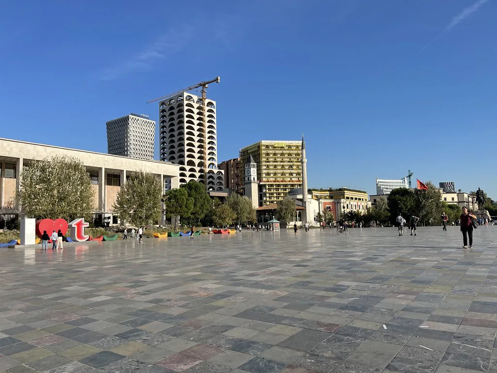
The municipality's named areas
Visit Tirana names the municipality's constituent areas as Tirana itself, Petrela, Farka, Dajti, Zall-Bastar, Bërzhitë, Krrabë, Baldushk, Shëngjergj, Vaqarr, Kashar, Pezë, Ndroq and Zall-Herr. Several of these, such as Dajti and Petrela, are places visitors treat as separate outings rather than city districts.
Reading the list this way stops you from misjudging distances: a landmark on Mount Dajti is a trip out of the city, not a walk from the centre. Keep the neighbourhood name in mind when you search for a route so the map scale matches the journey you actually intend to make.
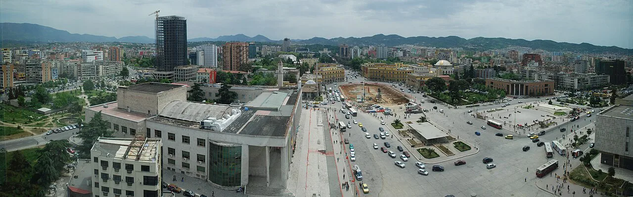
Where Tirana sits on a map of Albania
On a national map, Tirana sits inland in the centre-west of Albania, with the Adriatic coast and Durrës to the west and the mountains rising to the east and north. Apple Maps places the city at 41.32561° N, 19.81687° E, a coordinate you can enter directly if a search result is ambiguous.
Use the bordering towns as anchors when you look at a regional map: Durrës and Kavajë toward the coast, Krujë to the north-west, Elbasan to the south-east and Bulqizë to the east. These relationships are more useful for planning onward travel than any street-level city plan.
Reading the map for walking
The centre of Tirana is compact and the main sights sit close enough to link on foot, which is why so many visits are built around a walking loop rather than buses or taxis. A phone map with walking directions handles this well; switch to street level before you set off so you can see which side of a boulevard a landmark sits on.
If you want a structured route rather than your own, a self-guided city walks app for Tirana provides several mapped walking tours covering the main attractions. It suits travellers who prefer a fixed order of stops; a plain map suits those who want to wander and stop for coffee.
Plan the walking day around one area at a time. Group central stops together, then treat outlying places as a separate half-day, and you avoid criss-crossing the city on foot in the afternoon heat. A Tirana itinerary gives a ready-made order if you would rather not build one.
Map formats: phone, app or paper
A phone map is the most flexible option: it re-routes, shows your position and covers the whole municipality without extra weight. The trade-off is battery life and data, so download an offline area before you travel and carry a power bank for a full day out.
A walking app adds suggested routes but locks you into its chosen stops and needs installing before you arrive. A printed sheet or a screenshot kept in a pocket works when a phone dies, though it will not show your position. Many travellers carry a phone map as the main tool and a paper backup for the day the battery goes.
Whichever format you choose, keep the wider municipality boundary in view when you search, so a distant village does not appear as a short walk from your hotel.
Orienting yourself on arrival
Start by finding your accommodation on the map, then locate the nearest large landmark and work outward from there; a landmark is easier to navigate back to than a street name. Keep the map open at a scale that shows both your hotel and your first stop, and check the distance before you commit to walking it.
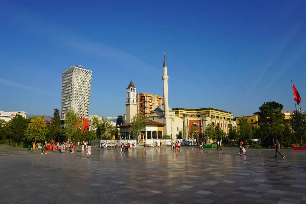
Travellers often use the main square as the mental anchor for the centre, then fan out to the surrounding streets. If you are working out where to eat after a day of walking, the best restaurants in Tirana are best booked or checked in advance rather than found by wandering at random.
For a single-day plan, one day in Tirana shows how much fits into a compact centre without long transfers.
Which Tirana map should you carry?
Carry a phone map as your main tool, download an offline area before you arrive and add a self-guided walking app only if you want a fixed route. Keep a paper backup for the day the battery fails, and remember that the municipality you see on the map is far larger than the centre you will walk.
Once you have your bearings, the practical next step is to fix your order of stops, check the neighbourhood names against the map, and confirm any current details with the venues themselves before you set out.
Explore more Tirana guides
Sources
Notes for your Albania trip
Optional updates to our Albania town guides.
You might also like
Continue reading
More guides you'll find useful