Dhërmi Map: Old Village, Beaches and Coves Explained
Use this Dhërmi map guide to tell the hilltop old village from the two beaches below and see how Drymades, Gjipe and the SH8 fit together.
On this page
A Dhërmi map is really two maps in one. The name covers a stone-built village on the mountainside and a separate ribbon of beach on the coast below, and much of the confusion in planning a day here comes from treating them as a single point.
This guide reads the map from the hillside down to the water: the old lanes and churches, Dhërmi Beach and Drymades, the Gjipe canyon mouth, and the SH8 road that ties it all to Himarë and the Llogara Pass. Distances are given as approximate road estimates, not timetables.
What a Dhërmi map actually shows
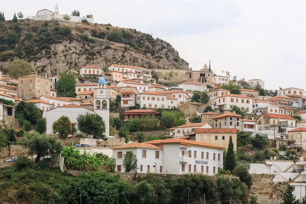
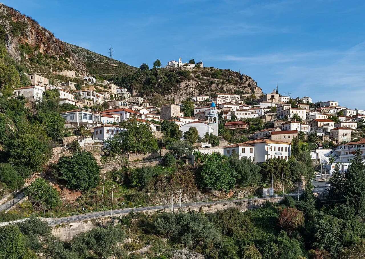
The hilltop village sits above the coast in a labyrinth of narrow stone alleys, terracotta rooftops and traditional houses, and travellers who stay only on the shoreline often miss it entirely. The lower settlement, usually labelled Dhërmi Beach or Drymades, is a long stretch of white pebble with exceptionally clear water.
Treat the two as separate pins when you plan. One is a walk through shaded lanes with views down the mountain; the other is a swim and a sunbed. Getting from one to the other means a climb or a drive, so decide which you are doing first, since the two are not easily combined on foot. Check current opening times and prices in season before you set out.
The old village: stone lanes and churches to look for
Up in the village, the map is best read as a loop of lanes rather than a list of sights. The alleyways are steep and cobbled, so sturdy shoes matter more than a route plan, and the reward is the architecture itself: pale stone walls, low roofs and courtyard doors. For the village in more depth, see Dhërmi Old Town.
Several Orthodox churches are the fixed points worth steering by, among them St. Spiridon Church with its courtyard, St. Mary Church (Kisha e Shën Marisë), one of the most photographed spots in the village, and All Saints Church on the hill above, which opens out views along the coast.
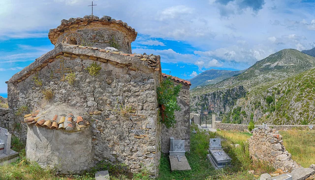
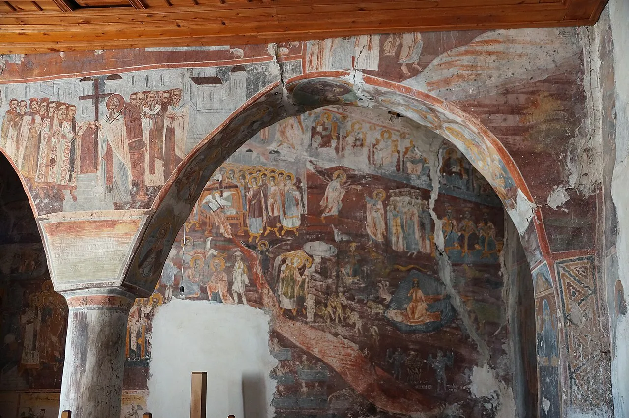
On the slopes above the village stands St. Mary's Monastery (Manastiri i Shën Marisë), a small Byzantine-style church of pale stone with a red-tiled roof and bell tower, dated to around the 13th–14th century, with frescoes, the finest added in 1781 by Ioannis, Archbishop of Himara and Delvina.
Dhërmi Beach: where the shoreline runs
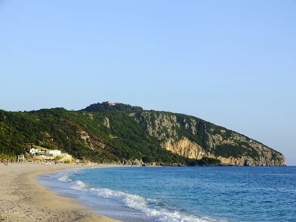
Dhërmi Beach, also written Dhërmiu Beach, runs beneath the steep Ceraunian Mountains as a long strand of white pebble and very clear turquoise water, and its length is easiest to grasp from south to north. It stretches from Theodor's Bay in the south to Sanur Beach House in the north, roughly a mile in total.
The northern end behaves differently from the southern one. Beach bars and restaurants sit on the cliffs there, and the pebble shore under them can vanish at high tide, so the shoreline is not always walkable end to end. Many of those cliffside places are seasonal and shut outside summer.
In summer the sand fills with sunbeds and umbrellas, and the beach is theoretically public, so you can settle on an unclaimed patch of pebble for nothing if you prefer. That trade-off, paid shade and a serviced spot against a free corner, is the main decision on this stretch.
Drymades Beach and Gjilekë: why it looks like a separate place
Drymades Beach (also spelled Drimades) reads as its own resort on a map because it is one: a strip of beach bars and clubs among olive and pine, quieter than Dhërmi Beach and increasingly built up. It sits along the coastline of Dhërmi's neighbourhood of Gjilekë, near the town of Palasë.
The naming overlap trips people up. Part of Drymades can look on a map like a section of neighbouring Palasa Beach, but it is not the same, and the Green Coast villa area marks where the pebble shoreline continues north. At the southern end, near Meguci Bay, a section called Pepperon The Beach runs thatched umbrellas and bean bags.
The northern end is the prettier half, with a large sea arch reaching into the water. Past the arch are the hidden coves where Palasa meets Drymades; a small stairway from the Summer Dream Restaurant leads through the arch to a handful of concealed inlets, each reached over rocks, so bring proper shoes rather than flip-flops.
Gjipe Canyon and Gjipe Beach between Dhërmi and Himarë
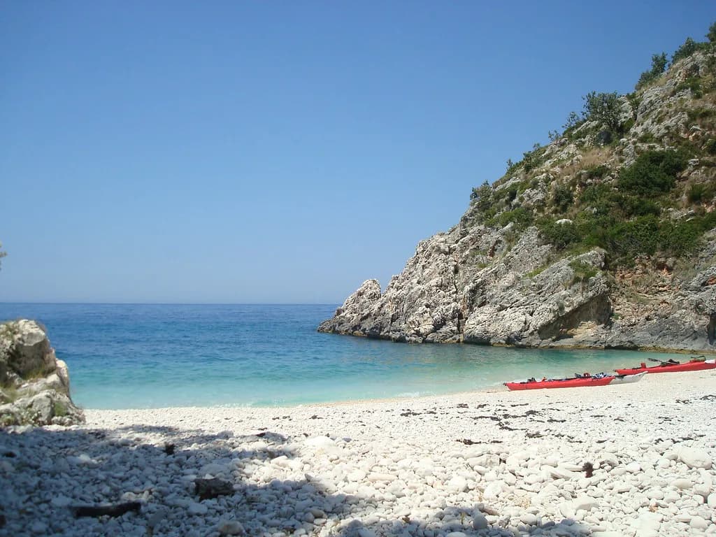
Gjipe Beach occupies a hidden cove at the mouth of a canyon between Dhërmi and Himarë, reached either by boat from the Dhërmi shore or by walking down. Small boats and water taxis run the coast in summer and drop you on the pebbles for a swim before the return ride.
On a map, locate Gjipe south of Drymades and north of Himarë, then decide how you will arrive. The walk down adds time and a climb back up; the boat trades flexibility for an easier landing. Either way it is a half-day rather than an hour's stop.
Dhërmi's position on the Riviera
Regionally, Dhërmi sits on the Albanian Riviera between Himarë and the Llogara Pass. The pass is the mountain gateway above the coast, a switchback climb to roughly 1,000 metres with panoramic views over the Ionian, and it is also a launch point for tandem paragliding with no experience required.
Those two anchors do most of the orienting work. Himarë is about 20 minutes south along the coast road, and the Llogara Pass about 30 minutes north; from Tirana the drive is roughly four hours, with Tirana the nearest airport. Treat all of these as approximate road estimates and build slack into a transfer day, particularly in summer traffic.
For a broader picture of the settlement and how the village and the coast fit together before you fix a base, the wider Dhermi, Albania guide covers the same ground in more detail.
Arriving by car and using the coast road as your map
Almost everyone arrives on the SH8, the Riviera road that links the coastal settlements and the pass. Use it as your mental spine: the beaches and villages sit off it on the seaward side, and the old villages climb away on the landward side, so a missed turn usually means a switchback rather than a wrong town.
Parking is the part of the map that matters most in August. The cliff-top bars along northern Dhërmi Beach and the built-up strip at Drymades concentrate cars into narrow access points, so arriving early and walking once you have found a space saves a lot of circling. Have a second-choice beach in mind before you commit to a full car park.
The Green Coast villa area north of Drymades is a useful landmark when you are navigating: it marks where the developed beachfront gives way to the longer pebble shoreline towards Palasë.
Boat landings, coves and caves reached by water taxi
Small boats and water taxis work from the Dhërmi shore in summer, running down the coast to Gjipe and out to the sea caves and coves towards Grama Bay in the north, including the Pirates' Cave, a deep grotto reachable only from the water.
Most of these trips are arranged in person on the beach rather than booked far ahead, and the online options thin out outside the summer season, so check what is running once you are there instead of building a day around a specific departure.
Reading the hillside lanes on foot
In the old village the map stops being very useful and your legs take over. The alleys are stone, narrow and stepped, with houses built tight against each other, so the practical approach is to pick one church or viewpoint as a target and wander towards it rather than trying to follow every turn.
Heat changes the plan more than distance does. The climb from the shore to the village is short on paper and slow in practice under the midday sun, so an early or late walk makes far more sense than a midday one, and water matters more than a downloaded map.
Putting a day together from the map
Start high and finish low. Walk the stone lanes and look in on a church or the monastery in the morning while it is cooler, then drive or walk down for a swim on Dhërmi Beach or Drymades in the afternoon, when the sunbeds and bars are open and the sea is the point.
If you want a boat in the day, put it in the middle rather than at the end, since afternoon departures compete with everyone else's plans. For lunch, the cliffside and beachfront places along the coast are where the views are; our pick of the best restaurants in Dhermi covers the sit-down options.
Travellers with three or four days can add Gjipe by boat one morning and the Llogara Pass for views on another, keeping the coast road as the organising line. Anyone with a single day should choose either the village morning plus beach afternoon, or a boat trip, rather than attempting all three.
Which part of Dhërmi do you map first?
Decide what the day is for before you look at the map again. A village morning suits walkers and photographers; a beach day at Dhërmi or Drymades suits swimmers who want a bar within reach; a boat to Gjipe or the caves suits anyone happy to leave the car parked.
Whichever you pick, use the SH8 and the Llogara Pass as your fixed points, treat the hilltop village and the shoreline as two separate destinations, and leave room for the climb between them.
Explore more Dhermi guides
Frequently Asked Questions
What is the closest airport to Dhërmi?
Tirana is the nearest airport, with a drive of roughly four hours down to the coast. Build in extra time on summer transfer days, and confirm onward road conditions before you set off.
Can you walk between Dhërmi's old village and the beach?
Yes, but it is a climb on steep stone lanes, so it is slow in the heat. Many visitors drive between the two and walk only within each part.
Sources
Notes for your Albania trip
Optional updates to our Albania town guides.
You might also like
Continue reading
More guides you'll find useful