Amantia, Albania: Visiting the Illyrian Hilltop Site Near Ploçë
Amantia is an Illyrian hilltop city near Ploçë in southern Albania, with a Hellenistic stadium, circuit walls and a Temple of Aphrodite. Here is what to expect.
On this page
Amantia is an Illyrian hilltop city, later a Roman town, in the hills near the village of Ploçë in the Selenica area of southern Albania. A visit is built around the ruins themselves — the circuit wall, a gate, a stadium, a temple platform and a necropolis — rather than around any visitor infrastructure, so go for the archaeology and the views over the Vjosa valley. This guide covers the layout, the stadium's two seating banks, how long the site takes, the climb, the road from Vlorë and what to pair with it.
What Amantia is and where it sits above the Vjosa valley
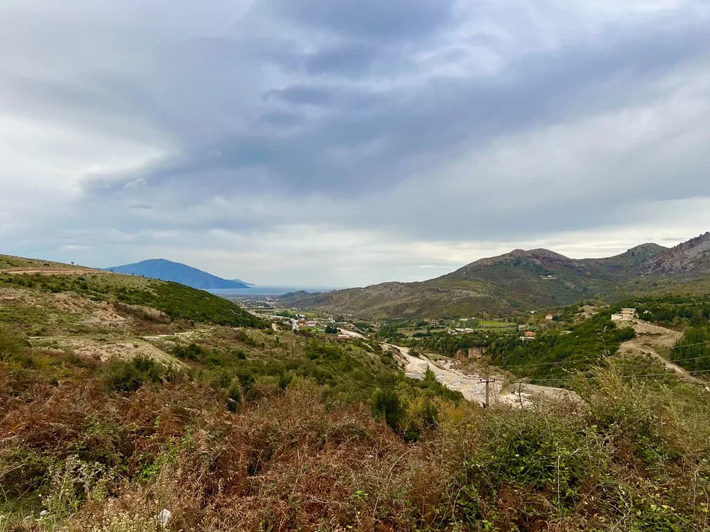
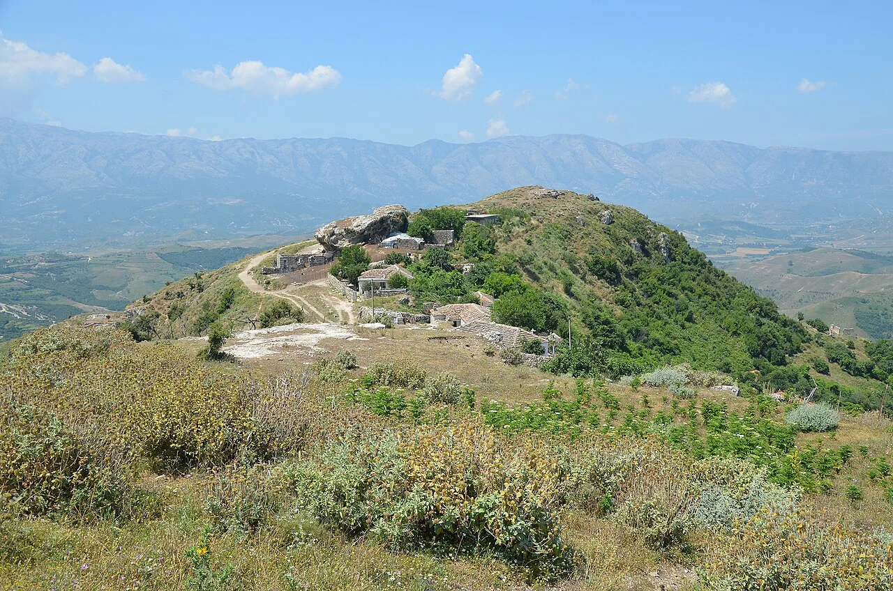
Amantia was an Illyrian city that later developed into a Roman town, and the archaeological park near Ploçë is the site visitors come to see today. It occupies a hill with wide views across the Vjosa valley, so the setting is part of the visit rather than a backdrop. Livius puts the hill some 600 metres above the Adriatic, which tells you the outlook is a defining feature even though the climb starts from a road below that summit height.
The official tourism site places the founding around the 5th century BC. The site is inland and uphill from the coast, so do not plan it as a coastal stop; a map entry puts it roughly 20 kilometres southeast of Vlorë, between the Shushica and Vjosa rivers, which fits the Selenica and Ploçë placement.
Amantia is also the name of an unrelated company registered in England, so skip that record when you are searching for travel information. For the Illyrian hilltop city described here, the official tourism listing and the Livius article are the places to start.
How Amantia is laid out: acropolis, walls, gate and necropolis
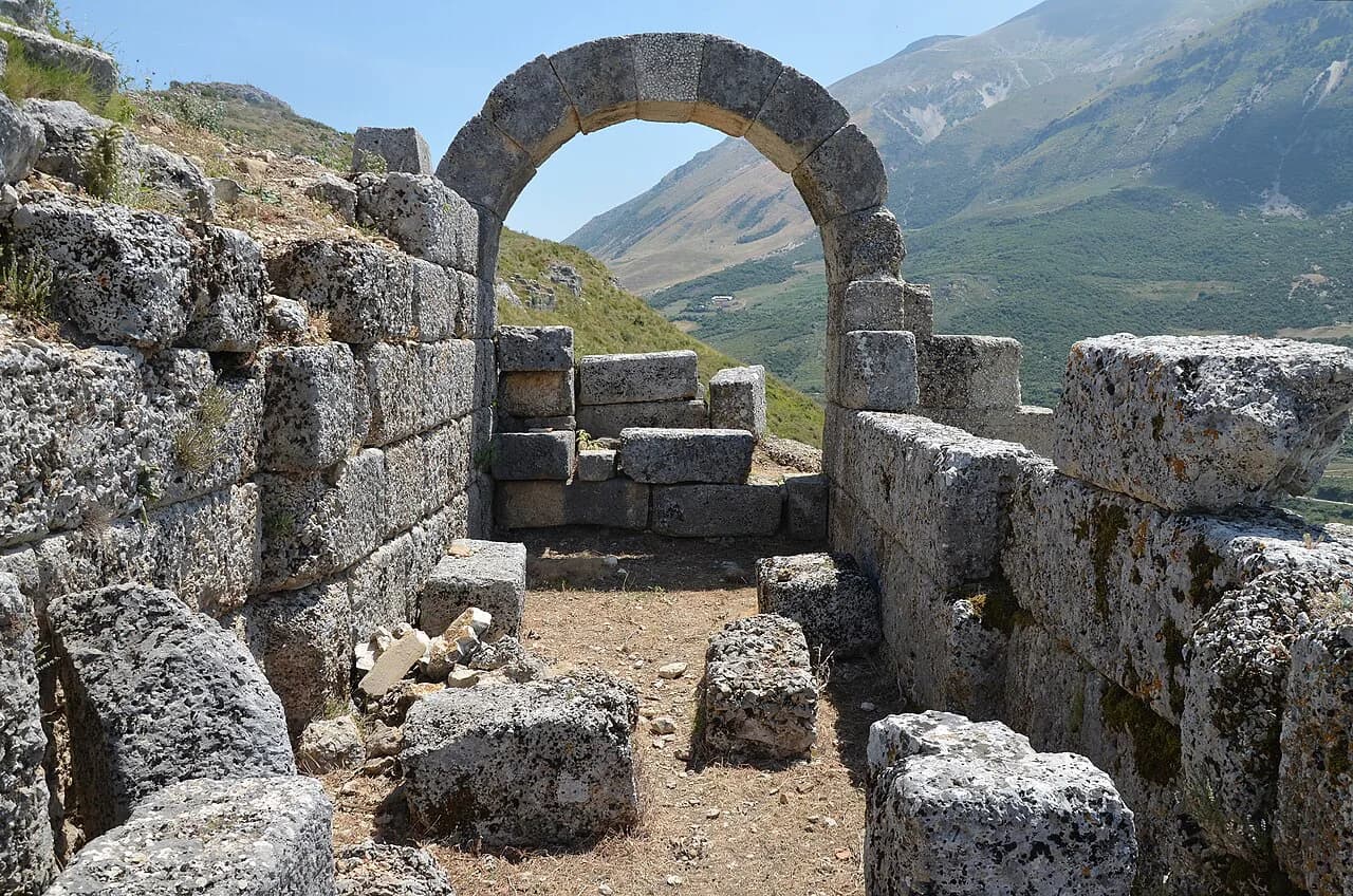
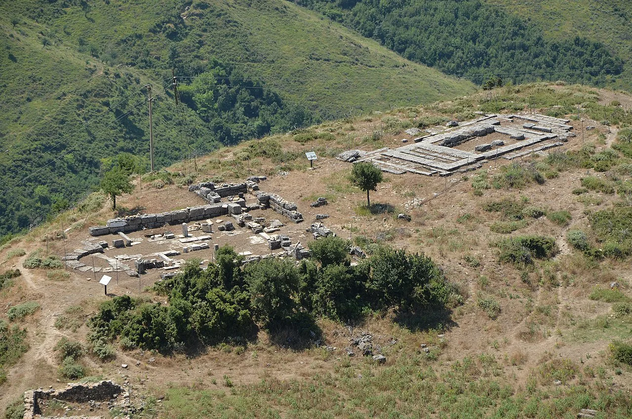
The visitor route follows the ancient town's structure rather than a single path. The official listing points to the monumental surrounding walls, the remains of the acropolis, the city's necropolis and the Temple of Aphrodite, all inside the park. Livius records a fortified wall of about two kilometres, a gate and monumental tombs in the northeastern necropolis among the monuments that survive from the Roman age.
Read the walls as the outline of the city, not as scenery on the way to the stadium. The circuit runs around the hilltop, and the gate is the clearest surviving piece of the defensive scheme. The northeastern necropolis sits apart from the civic core, so allow a little time to walk out to it rather than expecting everything to sit in one cluster.
Amantia was more than a fortress. It minted its own coins from around 230 BC and adopted a political structure modelled on towns such as Apollonia and Epidamnus-Dyrrhachium, with a prytanis, a council and an agonothetes who organised the games. Several smaller fortified settlements belonged to the municipality, including Kanina, Triporti and Olympe in Mavrova, which helps explain how the hilltop site controlled the wider valley.
The Hellenistic stadium and its inscribed seats
The stadium is the detail to seek out. Built east of the ancient city on a natural terrace in the third century BC, it had seventeen rows of seats on one side, supported by the hill, and only eight on the other. The official listing describes it as among the best preserved in the Balkans, and the asymmetry is what makes it recognisable on the ground.
Look for the inscriptions carved into the seats, which carry the names of officials such as Iparhos and of citizens such as Socrates and Apollonios. That is a rare trace of individual people in a ruin field, and it is easy to walk past if you are looking only at the shape of the terrace. Take your time along the seating banks rather than photographing the stadium from one end.
The Temple of Aphrodite and the later Christian basilica
The Temple of Aphrodite is named in the religious and civic record of the town, and its ruins are among the monuments inside the park. The city's bishop is recorded at the Council of Serdica in 343 CE, and a Christian basilica from late antiquity survives on the site. Seeing a pagan temple and an early Christian basilica in one hilltop walk is the clearest way to read the town's long life.
The last ancient reference to Amantia appears in a list of towns restored under the Byzantine emperor Justinian, who reigned from 527 to 565 CE. That reference marks the end of the recorded story rather than a visible monument, so use it as context while you walk the walls and the basilica. The surviving remains, not a museum display, are what you are reading.
How much time the site needs and how steep the walking is
Plan on a couple of hours for the walking circuit, plus the drive in each direction from Vlorë, and add time if you want to linger over the stadium inscriptions or walk out to the necropolis. The hilltop position, on a hill Livius puts some 600 metres above the Adriatic, means climbing and uneven ground rather than a flat ruin field. Sturdy shoes and water matter more here than at a managed city-centre monument.
Given the climb and the dispersed monuments, treat a morning start as the sensible default and keep the afternoon flexible. Build in slack for finding your way between the stadium, the walls and the temple rather than expecting a fixed signposted route. If you are travelling with anyone who struggles on rough ground, the walls and gate close to the main approach are the easier part of the visit.
Getting there: Ploçë, Selenica and the road from Vlorë
Amantia sits near Ploçë in the municipality of Selenica, inland from Vlorë and reached by road. A map source gives the position as roughly 20 kilometres southeast of Vlorë, between the Shushica and Vjosa rivers. Check the route on a current map before setting out, because the final approach is over minor roads.
Use Vlorë as your base and drive out for the day, or hire a car with a driver if you do not want to handle the minor roads yourself. Arriving independently means you control the timing and can combine the site with other stops in the valley. The trade-off is that you need to navigate the last stretch yourself, so allow extra time rather than scheduling Amantia tightly between two other stops.
Tickets and opening hours
The official tourism listing for the Amantia Archaeological Park and the Livius article both describe the monuments and give no ticket price or opening hours, so plan around daylight and confirm the current arrangements locally in Selenica or Vlorë before you travel. Carry some cash in lek as a sensible precaution.
What to combine with Amantia in the Vjosa valley and around Vlorë
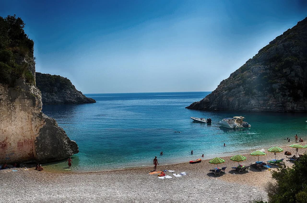
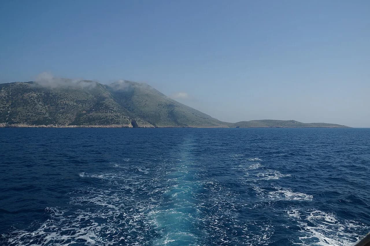
Amantia rewards being paired with the wider landscape rather than being rushed back to the coast. The site looks over the Vjosa valley, and other Illyrian and Roman centres in the region, including Byllis and Apollonia, give useful context if you have more than one day. Base yourself in Vlorë and you can also spend time along the coast, including the Karaburun Peninsula and the Karaburun-Sazan National Marine Park, on a separate day.
Oricum, the port linked with Amantia in the earliest written references, lies on the coast near Vlorë and gives the hilltop town its maritime context. Pairing a hill site with a coastal one makes for a full day of driving, so keep the number of stops realistic. Two archaeological sites plus lunch is usually enough.
Where the name Amantia comes from
The ancient Greeks wrote the name as Ἀμάντια or Ἀβάντια, which points to a people called the Amantes whose main settlement this was. Pausanias records a claim that the Amantians traced their descent to the Abantes of Euboea, an origin story that belongs to the city's self-presentation rather than to the ruins.
A century after the earliest references, the Amantians were recognised as Greeks by the Theorodokoi of Delphi and allowed to compete in the Delphic games. That recognition, along with the city's coinage from around 230 BC, is the clearest evidence of how the town saw itself in the Hellenistic world. Look for it as background when you read the inscriptions on the stadium seats.
Is Amantia worth the drive from Vlorë?
Yes, if you want an Illyrian hilltop town with a stadium, walls and a temple rather than a curated visitor attraction. The climb, the dispersed ruins and the lack of on-site facilities mentioned in the sources are the honest costs, and the Vjosa valley views and inscribed seats are the return. Give it half a day from Vlorë, take water and sturdy shoes, and confirm entry arrangements locally before you go. For the practical details, see the Sazan Island.
Explore more Vlore guides
Frequently Asked Questions
Is Amantia the same as the company Amantia North Ltd?
No. AMANTIA NORTH LTD is a private limited company registered in England with construction of domestic buildings as its stated activity. It has no link to the Illyrian hilltop city near Ploçë in Albania.
Sources
Notes for your Albania trip
Optional updates to our Albania town guides.
You might also like
Continue reading
More guides you'll find useful